TRAVEL GUIDE · Cities & Heritage
Doboj — Fortress, Rivers and the Railway Crossroads
Explore Doboj through Gradina Fortress, the Bosna riverbank and the railway identity that made the city one of northern Bosnia’s strategic crossroads.
THE GUIDE
Explore Doboj through Gradina Fortress, the Bosna riverbank and the railway identity that made the city one of northern Bosnia’s strategic crossroads.
Understand Doboj as a crossroads
Doboj developed at a strategic meeting point in the Bosna valley, where routes through northern and central Bosnia converge. The fortress above the city explains the older military logic of the site, while the railway and modern streets reveal how the transport function continued in a different form.
The wider geography requires precision. The Usora joins the Bosna north of the city, while the Spreča reaches the Bosna south of Doboj. They are two separate nearby confluences, not one three-river meeting inside the centre. The urban riverfront should therefore be described as the Bosna riverbank rather than a false single confluence viewpoint.
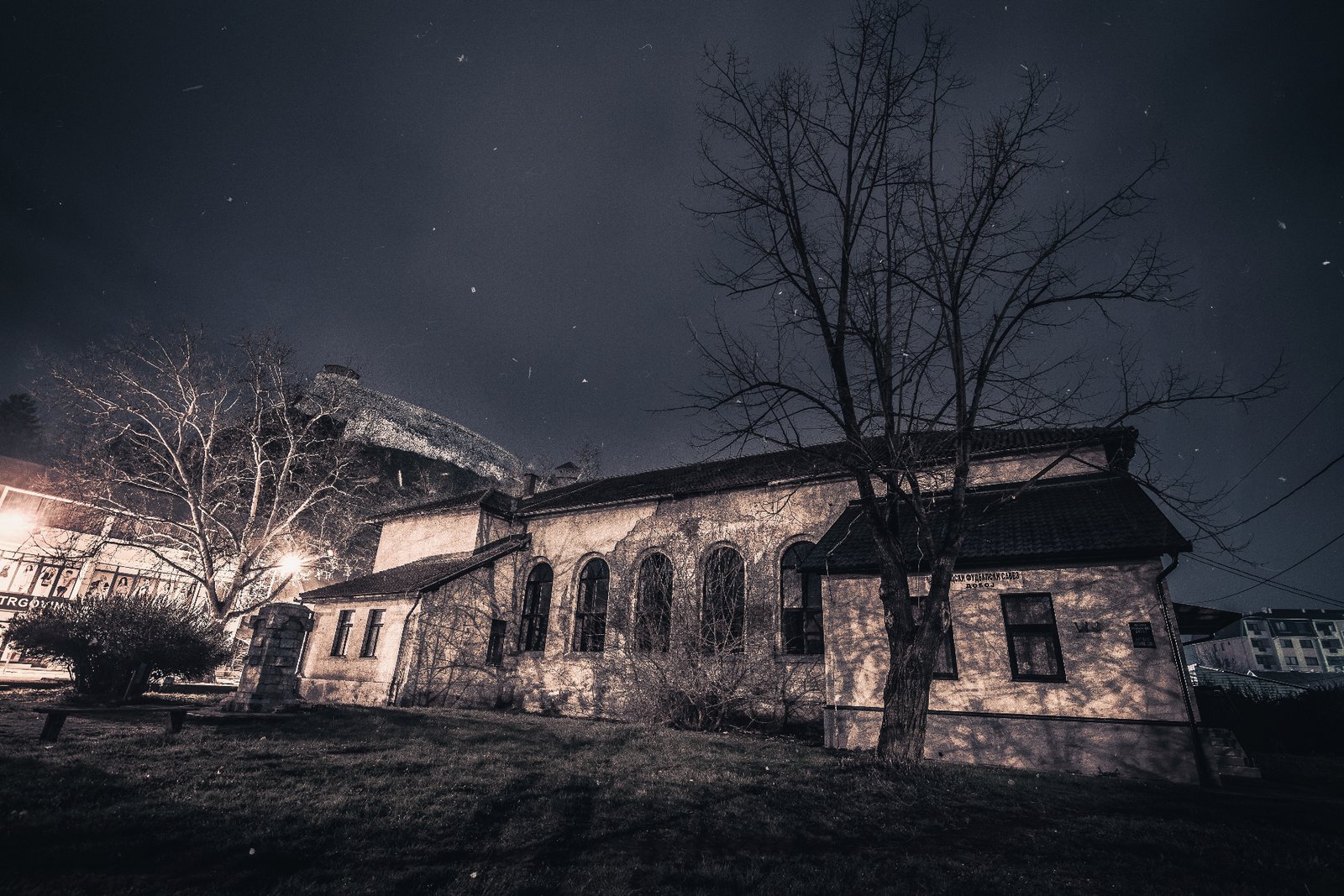
Begin in the centre and look upward toward Gradina. Doboj is not arranged as a preserved old-town museum; its story is distributed between the fortress, ordinary streets, rail infrastructure and the river corridor.
Climb to Doboj Fortress
Doboj Fortress, commonly called Gradina, occupies the hill above the city and the Bosna valley. The location controlled movement through an important corridor and became the defensive nucleus around which the settlement developed. The first documented medieval reference associated with Doboj dates to 1415; that date should not be presented as the exact construction year of the visible fortress.
The complex reflects several periods of building and adaptation, including medieval and Ottoman phases. Its ramparts, towers and upper position make the strategic geography legible even when individual structures cannot be assigned a simple single date.
Use sturdy footwear because stone, earth, steps and exposed surfaces can be uneven or slippery. Confirm current opening and admission arrangements before travelling specifically for entry, and do not hardcode a fee or schedule into an evergreen guide.
Read the modern city from the walls
The panorama from Gradina connects the historic fortress with the city that grew below it. Roads, housing, the Bosna corridor and railway infrastructure show why Doboj remained strategically important after the defensive role of the walls had faded.
The fortress is most useful as an orientation point rather than only a photograph. Identify the central streets and the river valley, then return to ground level to explore the city on foot. Avoid repeating unsupported claims about a single viewpoint over three merging rivers.
Morning and late-afternoon light can make the valley easier to read, while the exposed walls can become hot in summer. Weather, maintenance and events may affect access, so treat conditions as current information rather than permanent guarantees.
Follow Doboj’s railway identity carefully
Rail transport helped shape modern Doboj into a regional junction. The railway remains part of the city’s visual and economic identity, connecting the Bosna valley with routes toward other parts of the country and region. This layer distinguishes Doboj from destinations whose visitor experience is centred only on an old quarter.
Explore the railway story from ordinary public streets and legal public viewpoints. Stations, tracks, yards and operational infrastructure are working transport spaces, not open-air museums. Do not enter railway property, cross tracks outside authorised crossings or direct visitors toward restricted facilities.
The useful narrative is the continuity of movement: the fortress watched over older routes, while the railway reorganised the same strategic location for the industrial age. Both layers explain the city as a crossroads.
Walk the central Bosna riverbank
A walk beside the Bosna provides a quieter counterpoint to the fortress and railway story. Use established central paths and public spaces rather than implying one fixed promenade coordinate or guaranteed continuous river access.
River conditions change after rain and snowmelt. High water, mud, damaged surfaces or maintenance can affect a riverside walk, and apparently accessible banks may be steep or private. Stay on public routes and check conditions locally.
The riverbank does not need a fabricated attraction to be meaningful. It shows the valley at ground level and gives the city’s transport geography a natural frame before the route returns to the centre.
Keep Ozren as a separate extension
Mount Ozren belongs to the wider Doboj region but should not be inserted as a quick final stop inside a one-day city itinerary. It requires a recognised route, current access information, suitable weather and preparation appropriate to the chosen activity.
Destination360 does not create a trail line, summit marker or distance where verified geometry is unavailable. Plan an Ozren day separately with qualified local knowledge, and keep the core Doboj visit focused on the fortress, centre, railway identity and Bosna riverbank.
- Start in central Doboj, climb to Gradina and return to the city before the riverbank walk.
- Treat 1415 as a documented medieval reference, not the fortress’s exact construction date.
- Describe the Usora and Spreča as separate nearby confluences with the Bosna.
- Observe railway infrastructure only from lawful public areas and use authorised crossings.
- Check fortress and riverbank access after severe weather or high water.
- Plan Ozren as a separate day using a suitable recognised route and current conditions.
Practical notes for Doboj
- Suggested time
- One full day covers the fortress, central streets, railway context and Bosna riverbank. Add Ozren only as a separate second day.
- Best season
- Spring and autumn are comfortable for the fortress climb and city walking. Summer walls are exposed, while winter and high water require additional caution.
- What to carry
- Wear grippy walking shoes and carry water, sun protection and a light weather layer for the exposed fortress.
- Access checks
- Confirm current fortress entry and inspect river conditions locally; do not rely on old prices, opening hours or a fixed riverbank route.
PRACTICAL INFORMATION
Before you go
Best time to visit
- April to June and September to October — mild days and clear views from the fortress, and the most comfortable walking in the central streets and on the riverbank. Summer is warm and the fortress walls are exposed, so climb in the morning or late afternoon. Winter is quiet, with occasional snow on the ramparts; check conditions for the fortress climb and the riverbank after rain or snowmelt.
How many days
- One full day covers the fortress, the central town, the railway-crossroads identity and the Bosna riverbank. Add a separate second day for Mount Ozren, planned with current route information and suitable conditions.
Travel tips
- Climb to the Gradina first — the view from the walls and the stone tower orients the whole town and is the one essential act of a Doboj visit. Wear sturdy shoes for the steep stone path.
- Read Doboj as a crossroads — the fortress above the river and the railway junction below are one continuous story of place, best taken together on a walk through the centre.
- Walk the Bosna riverbank as the rest point of the day — the level waterside below the fortress hill, the quiet counterpoint to the climb.
- Check locally for current admission arrangements, opening hours and seasonal access at the fortress before a dedicated visit; these are not maintained as a fixed canonical source here.
- Add Mount Ozren only as a separate second day, planned with a suitable recognised local route and current route and weather information — not as a stop inside the core one-day city schedule.
- Carry cash (BAM) for the small central and riverside cafés.
DESTINATIONS IN THIS GUIDE
Places covered
TOP ATTRACTIONS
3 attractions
Doboj Fortress (Gradina)
The hilltop fortress above the Bosna river at Doboj — a medieval citadel with a surviving stone tower, later adapted under Ottoman rule, commanding the river valley and the regional routes that cross it.
Doboj
River Bosnia Promenade
The central Bosna riverbank and city walking environment at Doboj — the riverside below the fortress hill where the town meets the river that defines it.
Doboj
Ozren Mountain
The forested mountain rising south of Doboj — a broader nearby outdoor area linked to the town, with multiple approaches and routes to be covered separately in the dedicated outdoor phase.
Doboj
FOOD & DRINK
WHERE TO EAT
Central restaurants and cafés around the town centre and near the fortress approach — Bosnian grills, ćevapi and everyday town cooking, chosen on the day rather than prescribed.
Doboj
Riverside cafés along the central Bosna riverbank — coffee and light meals by the water, the natural pause on a riverbank walk.
Doboj
HOTELS & STAYS
WHERE TO STAY
Accommodation near the centre or the railway and bus connections — the practical base for a one-day town visit, within walking distance of the fortress and the riverbank.
Doboj
Rural accommodation on the slopes of Mount Ozren — only where appropriate for a separate Ozren visit, for visitors adding the mountain to the town day.
Doboj
ITINERARIES
Day-by-day routes
The Northern Crossroads
Doboj → Teslić → Banja Luka: a day linking northern fortresses, spa towns and the Vrbas valley.
View itineraryRivers of Bosnia
Doboj → Jajce → Travnik: follow the Bosnia and Vrbas rivers south through waterfalls and royal towns.
View itineraryDoboj in One Day
A relaxed one-day Doboj visit — the Gradina fortress and its stone tower, the central town and railway-crossroads identity, and the Bosna riverbank, with Mount Ozren as an optional separate extension.
View itineraryINTERESTS
Explore by what you love
MORE TO EXPLORE
Keep exploring
The atlas goes on — more destinations, guides and road trips from every corner of the world.