Seasonal conditions
Best from spring to autumn in stable conditions; check current road reports and weather before departure.
ROUTE
A touring ride down the Bosna valley through three Northern Bosnia river towns — Doboj, Maglaj and Zavidovići — with the R465 as the direct river-valley link between Maglaj and Zavidovići.
ABOUT THIS ROUTE
The Bosna Valley Ride is a touring run down the Bosna river valley through three Northern Bosnia river towns: Doboj, Maglaj and Zavidovići. It is a corridor of fortified river crossings and timber-town heritage rather than a single continuous old road — the route moves between the towns on the valley roads that connect them, and the R465 between Maglaj and Zavidovići is the direct regional river-valley link that carries the southern leg. The run begins at Doboj, the crossroads town whose Gradina fortress watches the river confluence, and reaches Maglaj a short way down the valley, another medieval fortress town on the Bosna with a compact Ottoman old quarter beneath the citadel. From Maglaj the R465 follows the valley south to Zavidovići, the river town at the Krivaja–Bosna confluence, known for its rounded stone spheres at Grab and Podubravlje and for the Tajan upland behind it. The ride is best taken as a touring itinerary with destination stops — the fortresses of Doboj and Maglaj, the stone-sphere sites and the riverside of Zavidovići — rather than for the riding alone. No total distance, riding time, traffic level, road-quality rating or difficulty score is stated here; check weather and road conditions before the run, especially in winter.
PLAN RESPONSIBLY
Best from spring to autumn in stable conditions; check current road reports and weather before departure.
This is a touring itinerary linking three towns, not a guaranteed continuous scenic or historic road. Follow signed roads and posted restrictions, adjust speed to local traffic and surface conditions, and park only in safe designated areas.
WAYPOINTS
Doboj
start
Maglaj
waypoint
Zavidovići
end
VIEWPOINTS
Zavidovići — Stone Spheres Park at Grab
The gathered rounded stone formations at Grab, the geological curiosity that distinguishes the Zavidovići area.
MAP & ROUTE
DESTINATIONS
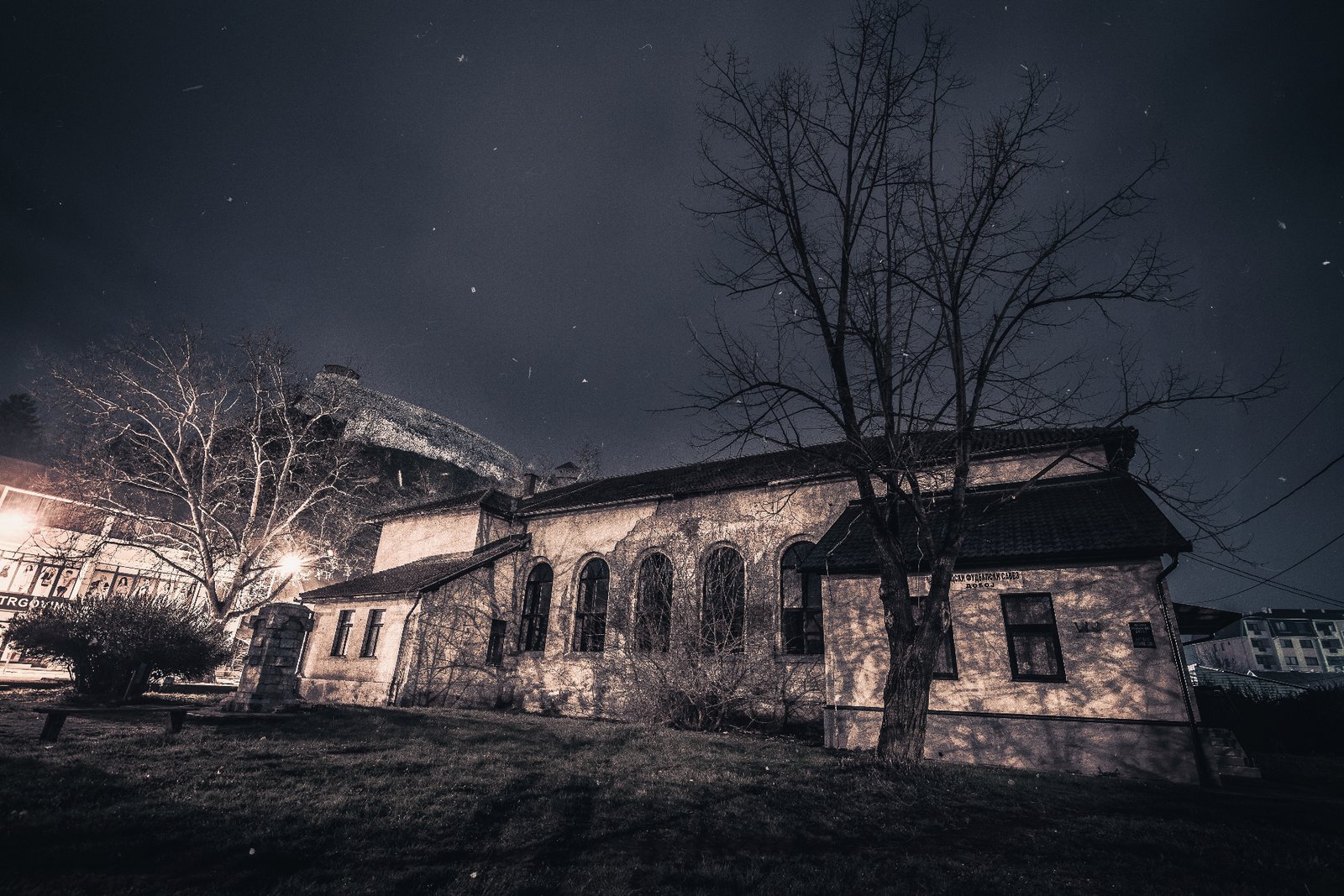
A fortress town on the Bosna river at the crossroads of northern Bosnia — a medieval citadel above a modern railway junction.
Northern Bosnia

A medieval fortress town on the Bosna river in northern Bosnia — a hilltop citadel, an Ottoman old quarter and a deep industrial heritage shaped by the Natron pulp and paper mill.
Northern Bosnia

A Bosna river town of rounded stone spheres, the Krivaja confluence and the Tajan massif — a quiet crossroads of nature and industrial heritage in northern Bosnia.
Northern Bosnia
ATTRACTIONS
Doboj Fortress (Gradina)
The hilltop fortress above the Bosna river at Doboj — a medieval citadel with a surviving stone tower, later adapted under Ottoman rule, commanding the river valley and the regional routes that cross it.
Doboj
Maglaj Fortress
The medieval hilltop citadel above Maglaj — the Gradina — with its walls, towers and gate, enlarged under the Ottomans and restored in the modern period, commanding the Bosna river crossing and the town below.
Maglaj
Stone Spheres Park at Grab
A park at the village of Grab, near Zavidovići, where a concentration of rounded stone formations — near-spherical stones of varying size — are gathered and displayed as a local geological curiosity.
Zavidovići
INTERESTS
WEATHER
Forecast data from Open-Meteo. Updated regularly.
TRAVEL GUIDES
REGIONS
KEEP EXPLORING
More routes, destinations and stories from every corner of the world — start where you like below.


