THINGS TO DO
Nature & Hiking
A triangle of wetlands, wine hills and villages between the Danube and the Drava.
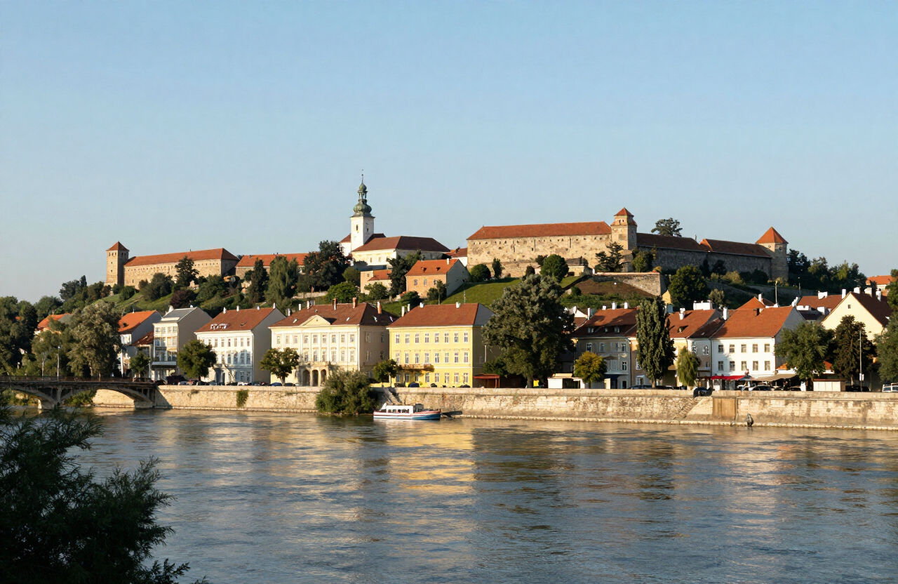
Baranja is the flat-to-rolling triangle of land between the Danube and the Drava in Croatia’s northeast, known above all for Kopacki Rit, one of the largest wetland reserves in Europe, and for the wine hills of Bansko Brdo. It is a quiet region of wetland birds, fishponds, cellars and villages that feels closer to the Pannonian plain than the Adriatic.
MAP & LOCATION
THROUGH THE LENS
HISTORY & CULTURE
Baranja was a borderland between the Habsburg and Ottoman empires for centuries, and its wetlands were long used for fishing, grazing and hunting before Kopacki Rit was protected as a nature park in 1999. Its wine hills were planted under the Habsburgs and remain the centre of Baranja’s rural life.
TOP ATTRACTIONS
FOOD & DRINK
Kopacki Rit’s restaurant — wetland fish and game
Wine-cellars (suri) on Bansko Brdo
HOTELS & STAYS
Guesthouses in Beli Manastir and the villages
Rural accommodation around the wetlands
ITINERARIES
WEATHER
Forecast data from Open-Meteo. Updated regularly.
TRAVEL GUIDES · STORIES
More here soon — the road is still being mapped.
NEARBY DESTINATIONS
INTERESTS
REGIONS
COUNTRIES
MORE TO EXPLORE
The atlas goes on — more destinations, stories and road trips from every corner of the world.