
Mountain
Maglić Mountain
Sutjeska National Park · Eastern Bosnia
QUICK INFORMATION
- CATEGORY
- Mountain
- COUNTRY
- Bosnia & Herzegovina
- REGION
- Sutjeska National Park · Eastern Bosnia
- DURATION
- 2–4 days
ABOUT THIS ATTRACTION
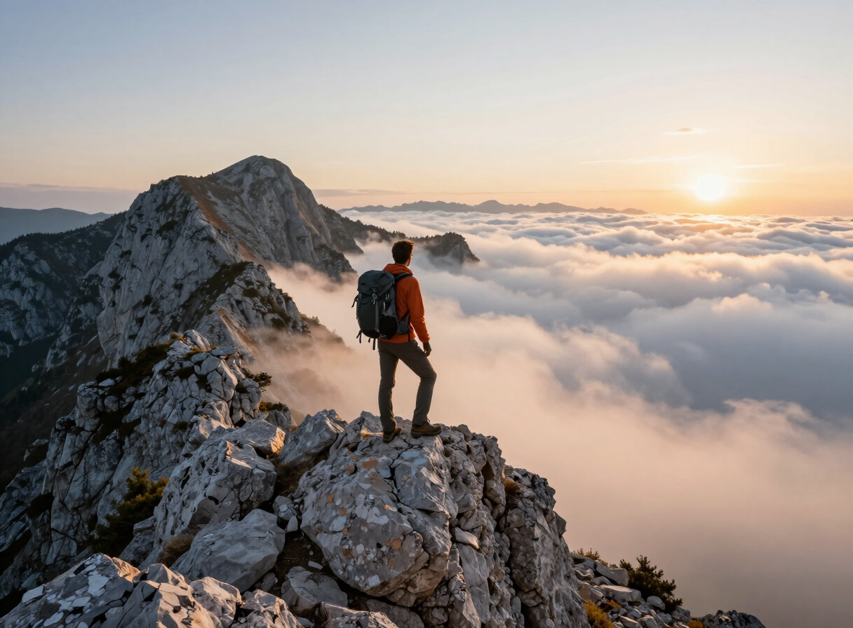
Maglić is the highest mountain in Bosnia and Herzegovina, its summit reaching 2,386 metres on the border between Bosnia and Herzegovina and Montenegro, above the Perućica forest and the upper Sutjeska valley. The name is associated with the fog that can settle around the summit, and the peak dominates the southern part of the national park, rising steeply above the old-growth basin of Perućica. For the park, Maglić is the defining high-mountain feature — the point that marks the roof of the country — and the focus of the most demanding mountain days within Sutjeska. It is approached through the park’s mountain landscape, and the summit sits close to the heart-shaped Trnovačko Lake on the Montenegrin side of the border. In Phase 1 this page presents Maglić as the park’s highest peak and the anchor of its mountain landscape; a detailed mountaineering guide is reserved for a later content pass.
HISTORY & BACKGROUND
The story behind it
Maglić has long been a landmark of the wild border country between Bosnia and Montenegro, and its summit has drawn mountaineers for generations. The peak sits on the state border, so its slopes are shared between the two countries, with the classic approach to the summit running through the Sutjeska side of the park. The mountain’s name, associated with fog, reflects the changeable weather that can cover the summit even when the valleys below are clear — a feature every visitor is warned to take seriously. Within the national park, Maglić is protected as part of the park’s high-mountain zone, and the summit area is one of the most visited high-altitude points in the country during the short summer hiking season.
WHAT TO SEE
What to see here
The summit — the highest point in Bosnia and Herzegovina at 2,386 metres, the roof of the country and the park’s dominant peak.
The border setting — the summit sits on the border with Montenegro, so the view takes in both countries, with the Montenegrin side dropping toward Trnovačko Lake.
Trnovačko Lake — the heart-shaped glacial lake close below the summit on the Montenegrin side, a classic feature associated with a Maglić visit.
The setting above Perućica — the mountain rises directly above the primeval forest reserve, so the old-growth basin is part of the view from the heights.
WHY IT MATTERS
Why it matters
Maglić is the single feature that gives Sutjeska its status as the country’s highest-mountain destination. It is the roof of Bosnia and Herzegovina, and its presence above Perućica ties the park’s two great natural assets — primeval forest and highest peak — into one landscape. For a visitor it is the goal that draws serious mountain days to the park, and the viewpoint from which the whole of Sutjeska is best understood.
PRACTICAL INFORMATION
Before you go
MAP & LOCATION
Maglić Mountain
Maglić Mountain, Sutjeska National Park, Eastern Bosnia, Bosnia & Herzegovina
43.3389, 18.7000
MORE ATTRACTIONS
More to see in Sutjeska National Park


THINGS TO DO
Things to do nearby
FOOD & DRINK
Where to eat nearby
Tjentište — the park’s hub, with the main visitor facilities and food options near the memorial
Mountain lodges and small providers within the park — hearty, simple fare for hikers
HOTELS & STAYS
Where to stay nearby
Tjentište — the classic park base, with accommodation and visitor facilities concentrated here
Mountain huts and camps for hikers on the longer routes across the park
ITINERARIES
Day-by-day routes


TRAVEL GUIDES
Practical guides

NEARBY DESTINATIONS
Continue the journey

INTERESTS
Explore by what you love
ROUTES
Routes through here
Donje Bare and Maglić View Loop
A challenging highland loop in Sutjeska National Park from the Donje Bare area on Zelengora toward a viewpoint over Maglić, the highest peak in Bosnia & Herzegovina, and back.
12.5 km · 5.6 h · challenging
VIEW ROUTETjentište–Donje Bare MTB Out-and-Back
A challenging mountain-bike out-and-back in Sutjeska National Park from the Tjentište valley up onto the Zelengora highland to the Donje Bare lake area and back.
46.8 km · challenging
VIEW ROUTEPART OF
Keep exploring
The atlas goes on — more attractions, destinations and stories from every corner of the world.