THINGS TO DO
Hike the Kotor Fortress Walls
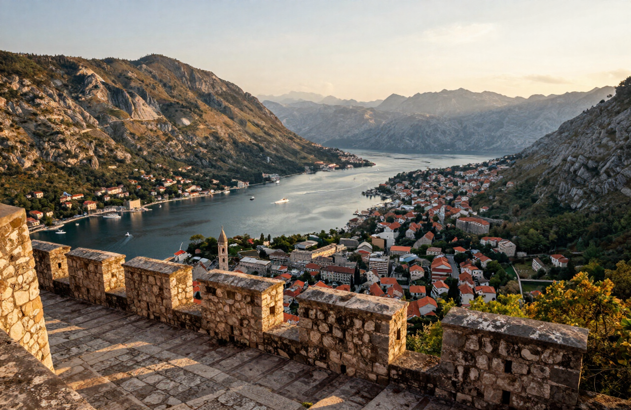
Climb the 1,350 steps of the city ramparts to the fortress of San Giovanni for the classic view over the old town and the bay. Best in the cool of morning.
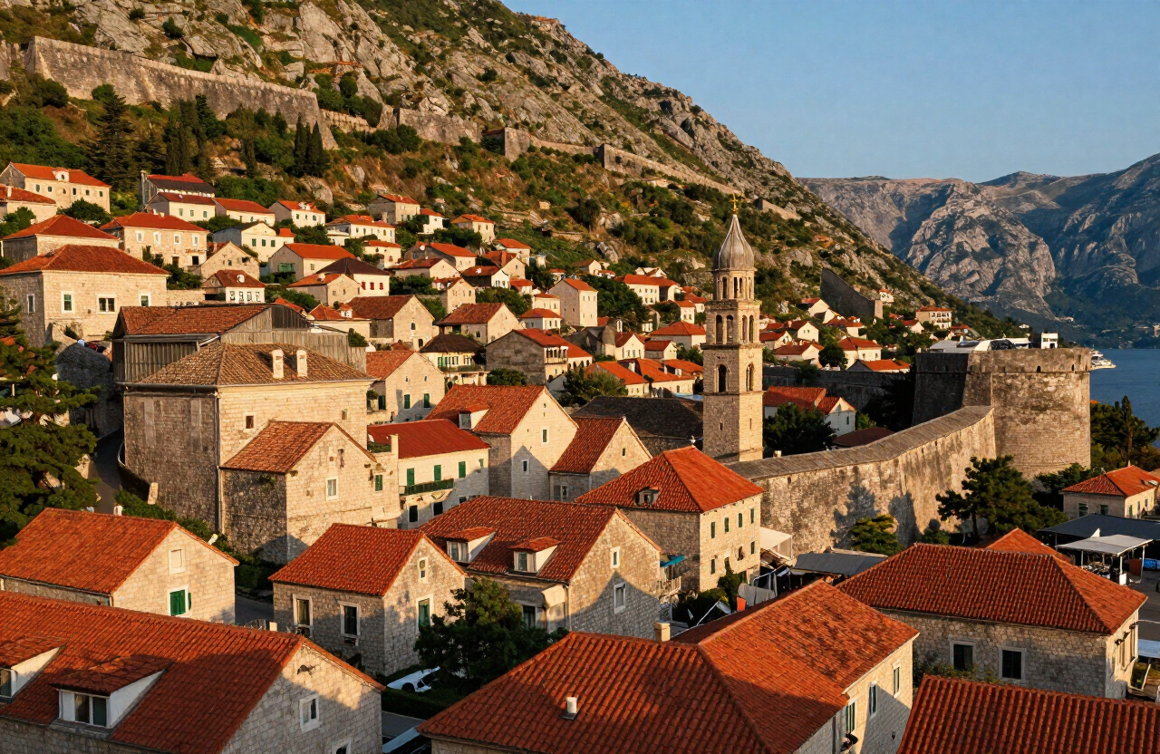
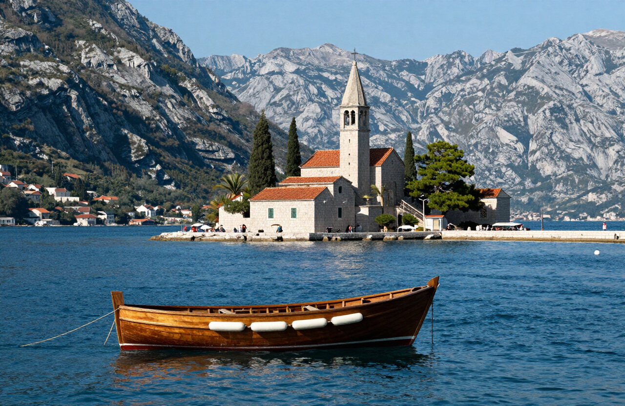
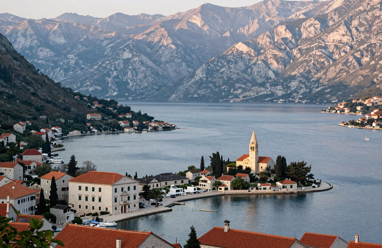
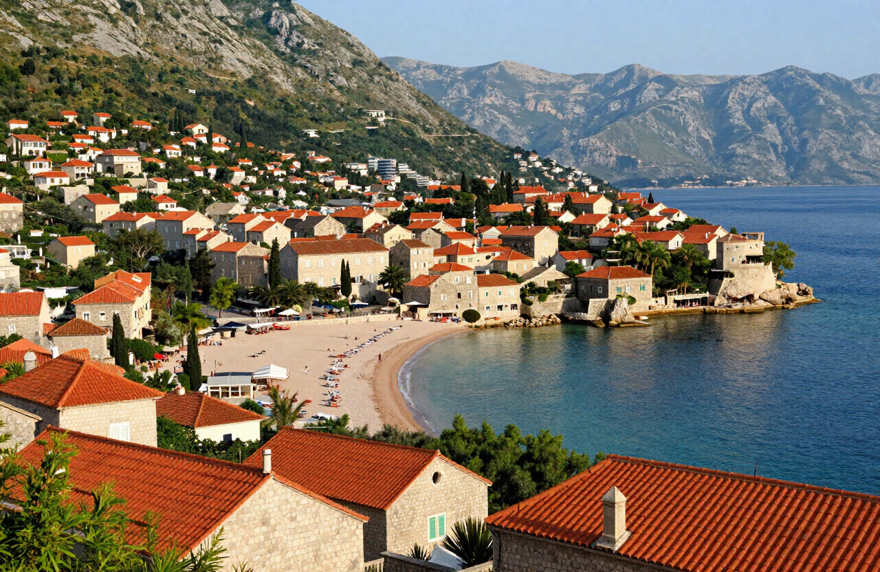
Kotor sits at the head of a submerged river valley often called Europe’s southernmost fjord, where sheer limestone walls drop into deep blue water and a medieval walled town nestles in the crook of the bay. A Venetian possession for nearly four centuries, the old town is a maze of squares, palaces and churches ringed by 4.5 km of ramparts that climb the cliff to the fortress of San Giovanni. The Bay of Kotor and the old town are together a UNESCO World Heritage Site, and the combination of walled medieval town and drowned mountain valley is what makes Kotor the most striking single destination on the Montenegrin coast.
MAP & LOCATION
THROUGH THE LENS


HISTORY & CULTURE
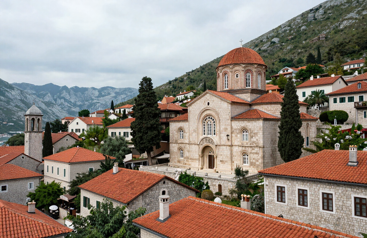
Kotor was settled in Roman and Byzantine times and rose under successive Bulgarian, Serbian and Venetian rule. Venice held the town and the bay for nearly four centuries until 1797, leaving the walls, palaces and churches that define it today. Earthquakes in 1563 and 1979 damaged much of the old town, which was rebuilt each time. In 1979 the Natural and Culturo-Historical Region of Kotor was inscribed on the UNESCO World Heritage List.
TOP THINGS TO DO
TOP ATTRACTIONS
FOOD & DRINK
Galion — seafood beside the old town walls
Tanja — traditional Montenegrin dishes near the river gate
Old Town konobas — seafood, grilled fish and Montenegrin dishes in the lanes around the cathedral
HOTELS & STAYS
Hotel Astoria — boutique rooms inside the old town
Hostel Old Town — a budget base steps from the walls
Dobrota waterfront stays — quieter rooms and apartments within walking distance or a short local ride of the old town
Routes
A careful scenic climb up the historic Kotor–Cetinje serpentine road from Kotor Old Town to the lower panorama point and the higher Horizont viewpoint, with widening views over the bay, Muo, Prčanj and the surrounding mountains.
1 days · challenging
VIEW ROUTEA two-day heritage road-trip around the Bay of Kotor — from Kotor Old Town along the northern shore to Perast and Herceg Novi, then back through Tivat and onto the Luštica peninsula toward Rose.
2 days · moderate
VIEW ROUTEPLAN YOUR VISIT
Kotor is reached by road along the Adriatic highway and around the Bay of Kotor; intercity and local buses connect it with Podgorica, Tivat, Herceg Novi, Budva and Dubrovnik across the border. Tivat airport is the closest, about 20 minutes away by road; Dubrovnik airport is a common arrival point for visitors driving down the coast. There is no rail link.
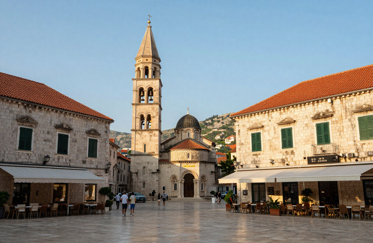
The old town is pedestrianised and compact — no vehicles are permitted inside the walls, and everything within the town is on foot. Parking is outside the pedestrian core; use the designated car parks near the waterfront and the gates rather than attempting the lanes. Boats depart from the Kotor quay for the bay and Perast, and local buses and taxis serve the surrounding shore.
April to June and September to October give warm, clear weather and far fewer crowds than high summer. July and August bring cruise-ship pressure and heat — on ship days the old town is busiest from late morning to mid-afternoon. Check sunrise and sunset times for the day you visit, as daylight varies widely through the year.
Shoes with grip above all — the old town’s limestone lanes and the fortress steps are worn smooth and become very slippery when wet. Carry water and sun protection for the fortress climb, modest clothing for church interiors, and some cash (EUR) for small cafés, quay-side boats and island fees.
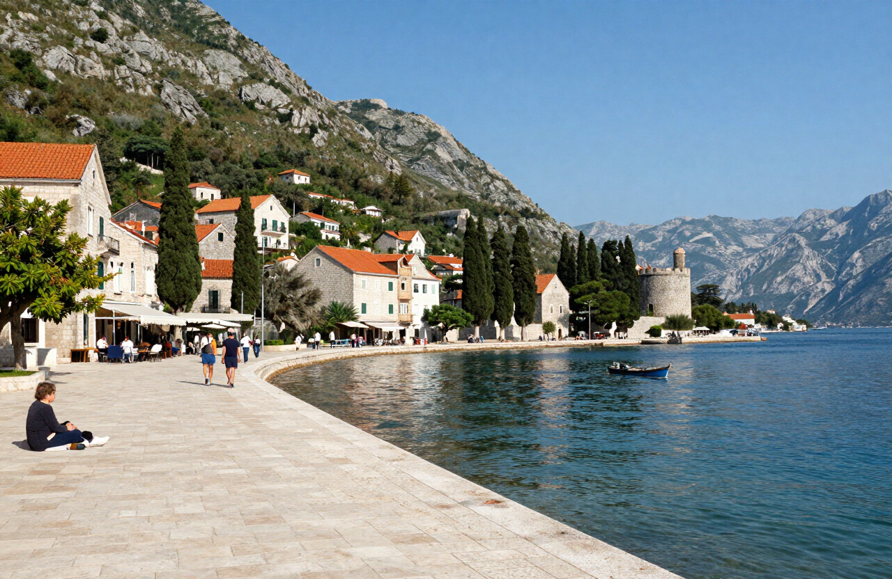
The waterfront promenade and parts of the lower town are the easiest areas to move through, but Kotor is not fully step-free. Historic thresholds, steps, uneven limestone paving and the fortress climb create significant barriers for wheelchair users and visitors with limited mobility; the Maritime Museum, in an 18th-century palace, has steps and uneven stone floors. Check current access arrangements with individual sites before visiting.
NEARBY ESSENTIALS
Practical services and stops along the way — fuel, food, parking, campsites, medical and motorcycle services. Listings are compiled from published sources; confirm current opening dates, prices and facilities directly with each operator.
Kotor Tourist Information Office
0 mVisitor Information
Sea Gate, Trg od Oružja, 85330 Kotor
Official visitor-information office at the Sea Gate in Kotor, serving Kotor municipality, including Perast. Visitors should confirm current opening hours, available services, seasonal information desks, maps and accessibility directly before relying on an in-person visit.
Sources checked: 6 Oct 2026
Bex Campground
Campsite
Škaljari, Kotor
Campsite in Škaljari, just outside the walls of Kotor.
BS Kotor – Petrol
4.4 kmFuel
Kavač 0N, 85330 Kotor
Petrol fuel station at Kavač, on the main road into the Bay of Kotor.
Camping Mimoza
Campsite
Donji Stoliv, Kotor Municipality
A formal coastal campsite at Donji Stoliv in Kotor Municipality. Travellers must confirm current opening dates, prices, pitch availability, facilities and vehicle suitability directly with the operator. This record does not authorize camping outside the formal property.
Sources checked: 6 Oct 2026
WEATHER
Forecast data from Open-Meteo. Updated regularly.
TRAVEL GUIDES · STORIES
More here soon — the road is still being mapped.
NEARBY DESTINATIONS
INTERESTS
REGIONS
COUNTRIES
MORE TO EXPLORE
The atlas goes on — more destinations, stories and road trips from every corner of the world.