
River & Riverside
Una riverfront
Bihać · Northwest Bosnia / Krajina
QUICK INFORMATION
- CATEGORY
- River & Riverside
- COUNTRY
- Bosnia & Herzegovina
- REGION
- Bihać · Northwest Bosnia / Krajina
- DURATION
- 1–2 days
ABOUT THIS ATTRACTION
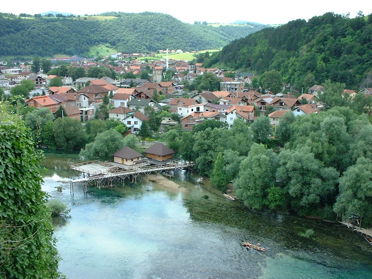
The Una is the river that made Bihać. It runs fast, clear and a deep emerald green through the town, and the old core sits hard against its bank, so that almost any walk through the centre brings you to the water. The riverside — green lawns, shaded paths, the old Iron Bridge that carries the road across — is where the city comes to relax in the warm months, and it is the easiest place to see the character of the river that the national park downstream is built around. For a visitor the riverfront is both a sight in itself and the thread that ties the old town together: Fethija and the Captain’s Tower are a few minutes’ walk from it, and the water is never far away.
HISTORY & BACKGROUND
The story behind it
Bihać was founded on the Una because the river offered both a defensible site and a corridor through the Krajina, and the town’s history has been shaped by that position on the water ever since. The Una was the line along which the medieval, Ottoman and Habsburg frontiers ran, and the crossing at Bihać — marked today by the old Iron Bridge — was one of the important ones. In the modern period the river became the city’s recreational heart, and the same clear water that runs through Bihać continues south into Una National Park, where it builds the waterfalls and rapids the park is known for. The riverfront is therefore the place where the city and the park share the same single feature.
WHAT TO SEE
What to see here
The colour of the Una — the deep emerald green the river is famous for, seen at its easiest from the banks and the bridge in the centre of Bihać.
The Iron Bridge — the old road bridge across the Una, the best single viewpoint over the river in the town and the line of the historic crossing.
The riverside paths — green, shaded walks along the bank where the city meets the water, lively in the warm months and quiet in the off season.
The connection to the park — standing beside the Una in Bihać is standing beside the same river that builds Štrbački Buk and the Martin Brod falls downstream.
WHY IT MATTERS
Why it matters
The Una is the reason Bihać exists and the reason most visitors come to this corner of the country — the national park downstream is named for it. The riverfront is the place where that fact is most obvious: the river that the park protects runs right through the town, green and immediate, before it disappears into the canyon. For a visitor it is the natural rest point of a city walk and the clearest link between the town and the park it is the gateway to.
PRACTICAL INFORMATION
Before you go
MAP & LOCATION
Una riverfront
Una riverfront, Bihać, Northwest Bosnia / Krajina, Bosnia & Herzegovina
44.8170, 15.8690
MORE ATTRACTIONS
More to see in Bihać


THINGS TO DO
Things to do nearby
FOOD & DRINK
Where to eat nearby
Una-side restaurants — river trout and Krajina grills near the riverfront
City-centre cafés and bakeries around the old core
HOTELS & STAYS
Where to stay nearby
Central Bihać hotels — the practical base for Una National Park
Riverside guesthouses and camps on the edge of town
ITINERARIES
Day-by-day routes
NEARBY DESTINATIONS
Continue the journey

INTERESTS
Explore by what you love
ROUTES
Routes through here
Una Canyon Scenic Road — Bihać to Bosanska Otoka
A scenic run down the M14 along the Una canyon from Bihać, via Ostrožac Castle and Bosanska Krupa, to the river-island village of Bosanska Otoka.
55 km · easy
VIEW ROUTEŠtrbački Buk–Loskun Una Rafting Section
A guided white-water descent below Štrbački Buk through one of the most powerful and technically demanding rafting sections of the Una.
7 km · 2.5 h · challenging
VIEW ROUTEPART OF
Keep exploring
The atlas goes on — more attractions, destinations and stories from every corner of the world.