Seasonal conditions
Best from spring to autumn; use only in suitable weather and check current road conditions before departure.
ROUTE
A scenic run down the M14 along the Una canyon from Bihać, via Ostrožac Castle and Bosanska Krupa, to the river-island village of Bosanska Otoka.
ABOUT THIS ROUTE
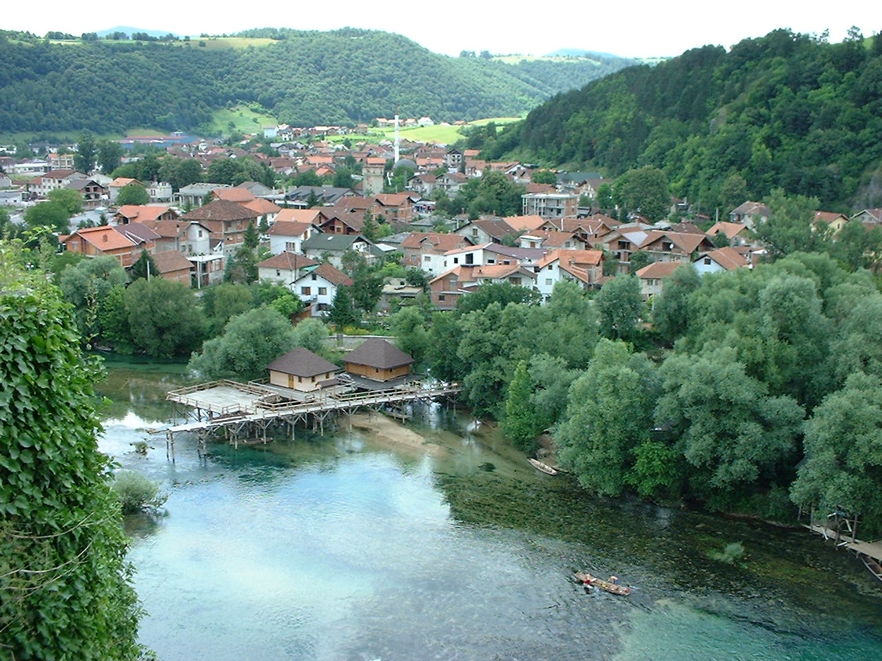
The Una Canyon Scenic Road follows the M14 corridor downstream along the Una from Bihać, through the Krajina river valley to Bosanska Krupa and on to the river-island village of Bosanska Otoka. It is a short northern route — a little under sixty kilometres of driving — but one that earns substantially more time than the driving alone suggests, because the road keeps company with the green Una for almost its whole length and the stops along the way are the reason to take it. The run begins at Bihać, the river town that is the gateway to the far northwest, and reaches Ostrožac Castle shortly downstream, the medieval-and-romantic stronghold above the Una that is the heritage stop of the route. From Ostrožac the road continues down the canyon to Bosanska Krupa, the river town of the Pset fortress, the green islands and the wooden bridges, where the central walking loop of mills, islets and footbridges is the natural pause of the day. The route ends a short way further downstream at Bosanska Otoka, where a mosque stands on its own island in the Una, reached by wooden bridges among a scatter of river islets — the quiet, water-level close of the run. This is a Krajina corridor along the Una, not a route inside Una National Park, and it is best driven with the stops and the photography in mind rather than the driving time.
PLAN RESPONSIBLY
Best from spring to autumn; use only in suitable weather and check current road conditions before departure.
This is a scenic touring corridor, not a closed tourist road. Do not stop on the carriageway for photographs; use only safe parking areas and follow all local access signs around bridges, riverbanks and heritage sites.
WAYPOINTS
Bihać
start
Ostrožac Castle
waypoint
Bosanska Krupa
waypoint
Bosanska Otoka
end
VIEWPOINTS
Ostrožac Castle
The castle above the Una — the heritage stop and a viewpoint over the river valley.
Pset Fortress, Bosanska Krupa
The ruined fortress hill above the Una, the panorama over the islands and the wooden bridges.
Bosanska Otoka island mosque
The mosque on its river island, reached by wooden bridges — the water-level close of the route.
MAP & ROUTE
DESTINATIONS
ATTRACTIONS
Ostrožac Castle
A castle in the Una valley near Cazin, northwest of Bihać, with medieval origins and romantic 19th- and 20th-century additions — a fortified old core with towers and walls, set in gardens above the Una, and one of the most distinctive castles of the Krajina.
Bihać
Pset Fortress
The ruined medieval fortress above Bosanska Krupa — a stone tower and fragments of wall on a steep hill commanding the crossing of the Una, the oldest feature of the town and the reason it sits where it does.
Bosanska Krupa
Bosanska Otoka and the Island Mosque
A side excursion downstream from Bosanska Krupa to the village of Bosanska Otoka, where a mosque stands on a river island in the Una, reached by wooden bridges among river islets and the traces of a former fortification.
Bosanska Krupa
INTERESTS
WEATHER
Forecast data from Open-Meteo. Updated regularly.
STORIES
NEARBY
REGIONS
KEEP EXPLORING
More routes, destinations and stories from every corner of the world — start where you like below.