Seasonal conditions
Operator-dependent; water level, weather and national-park access determine whether the section runs.
ROUTE
A guided white-water descent below Štrbački Buk through one of the most powerful and technically demanding rafting sections of the Una.
ABOUT THIS ROUTE
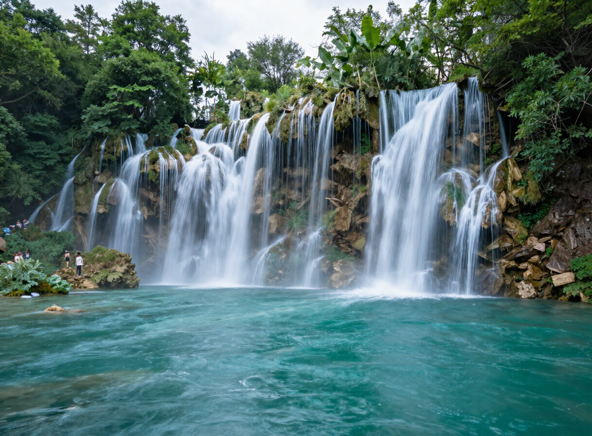
This section begins in the Štrbački Buk area of Una National Park and continues downstream towards Loskun. It is the Una’s headline white-water experience: a short but concentrated descent through powerful current, rapids and the protected river landscape south of Bihać.
The route must only be undertaken with a qualified or licensed rafting operator. The operator determines the exact meeting point, launch, take-out and runnable section according to current water level, park access, weather and participant suitability. The Atlas marker identifies Una National Park as the general access area and is not a launch-point navigation marker. Conditions can change significantly between high spring water and the lower summer season. Time on the river, difficulty and the runnable section all vary with water level and operator decisions.
PLAN RESPONSIBLY
Operator-dependent; water level, weather and national-park access determine whether the section runs.
This challenging white-water section must not be attempted independently. Follow the operator’s briefing and guide or skipper instructions. The Atlas marker remains a general national-park access area and is not the launch point.
MAP & ROUTE
INTERESTS
WEATHER
Forecast data from Open-Meteo. Updated regularly.
STORIES
TRAVEL GUIDES
NEARBY
REGIONS
KEEP EXPLORING
More routes, destinations and stories from every corner of the world — start where you like below.