
EXPLORE BY INTEREST
Campervan
Camper, van and overland travel — the road as home, with stops across the atlas.

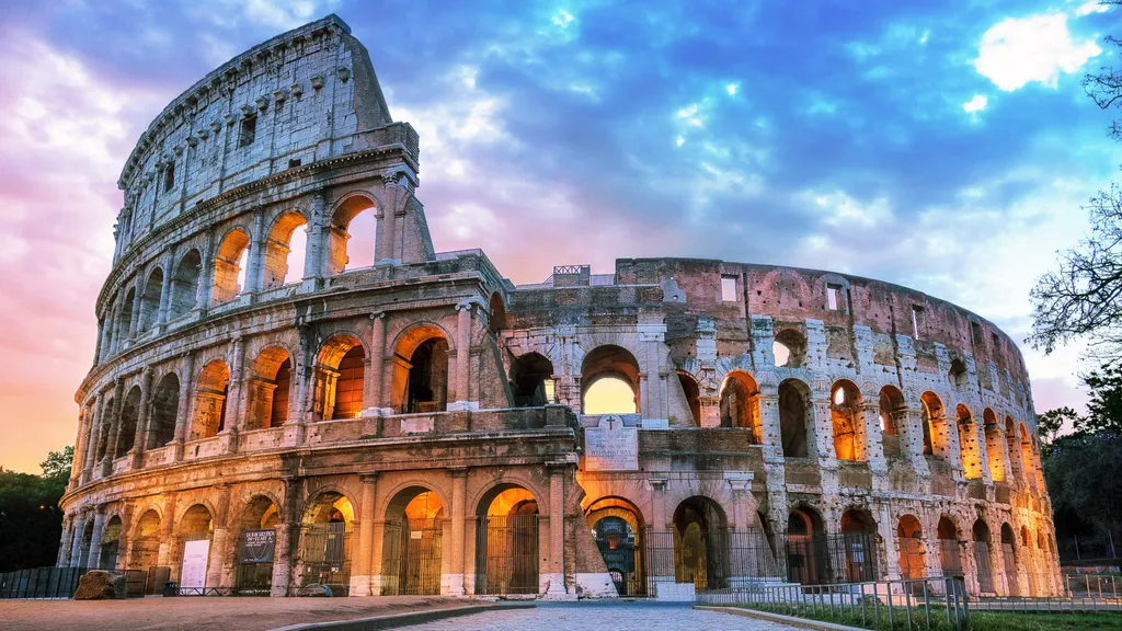
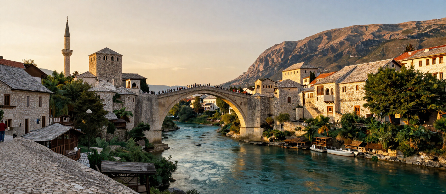

Destinations
Places for this interest


Experiences
Things to do
Camp in the national park — Camp Buk and the riverside sites
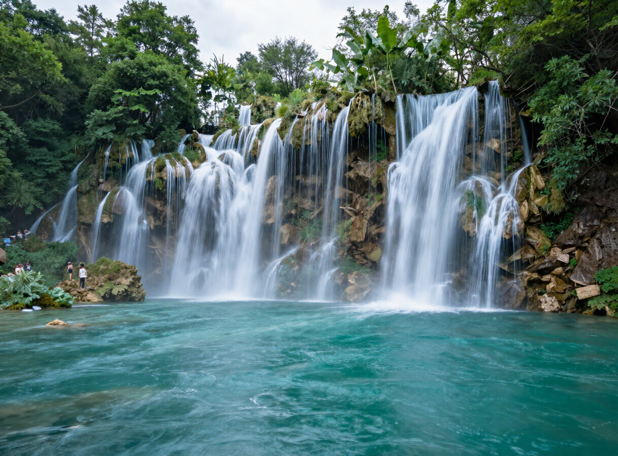
Sleep inside the park: Camp Buk’s 10,000 m² of Una riverbank at Kulen Vakuf — room for 200 pitches, bungalows and a riverside restaurant — plus the quiet sites toward Martin Brod, with the waterfalls as your alarm clock.
Una National Park
Cycling the Konavle Valley
Ride the flat green floor of the Konavle valley below the Sniježnica ridge — Dubrovnik’s rural hinterland of stone villages, the Ljuta river mills and Konavoski dvori — an easy half-day by bike from the coast.
Dubrovnik
Camping the Konavle Coast: the Molunat Auto Camps
Cavtat itself has no campsite — the region’s camping lives 20 km south in Molunat, a small fishing village at the tip of the Konavle coast, where simple auto camps sit right on the shore.
Cavtat
Camping and the slow bases of the plain
Aquileia’s central camper stop puts you beside the excavations for €10 a night — with the Grado lagoon campsites and the Alpe-Adria cycle path in easy reach.
Aquileia
Stay inside the star — camper stop and the piazza evenings
One of Italy’s most unusual places to sleep: a camper area inside the walls, evenings on a hexagonal Renaissance square, and the star to yourself after the day-trippers leave.
Palmanova
Routes
Routes & rides
The Complete Durmitor Ring — Žabljak, Sedlo, Piva Canyon and Šavnik
The full circular drive around the Durmitor massif — from Žabljak over the Jezerska plateau and the Sedlo pass to Trsa and Plužine, along the Piva lake shore, then back east through Šavnik to close the loop.
1 days · challenging
VIEW ROUTEDurmitor Ring by Campervan — RV Guide to the Full Circuit
The complete Durmitor Ring planned for campervans and RVs — the same Žabljak–Sedlo–Plužine–Piva–Šavnik circuit, read through a campervan lens: turnaround reality, fuel, overnights, season and narrow-section cautions.
2 days · challenging
VIEW ROUTESawtooth Scenic Byway Drive
From sagebrush desert to the glacial Sawtooth Valley: Idaho’s state byway ends beneath the rawest skyline in the Rockies.
240 km · 4 h · easy
VIEW ROUTEPonderosa Pine Scenic Byway: Boise to Sun Valley
The classic western approach: canyon, gold-rush town, hot-springs country and a glacial reveal over Banner Summit into the Stanley Basin.
250 km · 5 h · easy
VIEW ROUTESacajawea Historic Byway & Lemhi Pass Drive
From Salmon up the Lemhi Valley to the Continental Divide crossing where Lewis first saw the Bitterroots — history and emptiness combined.
120 km · 4 h · easy
VIEW ROUTELake Coeur d’Alene Scenic Byway Loop
A half-day drive around the lake’s wild east and south shores — eagles, wetlands and the Pacific Northwest’s oldest state park.
150 km · 3.5 h · easy
VIEW ROUTEPend Oreille Scenic Byway Loop via Garfield Bay
A half-day paved loop around the wild south half of Idaho’s biggest lake — cedars, the Pack River delta and fjord-like Garfield Bay.
95 km · 3 h · easy
VIEW ROUTEHighway 57: Priest River to Nordman
The road to the road’s end: timber town, golf flats, south-end wetlands, village docks and the Nordman store under the Selkirks.
34 km · 1.5 h · easy
VIEW ROUTEHells Canyon Scenic Byway: Riggins to the Overlook
The Seven Devils road: 80 miles from the Salmon to Idaho’s only drive-to rim view over the deepest gorge in North America.
130 km · 5 h · challenging
VIEW ROUTEThe St. Joe River Road: St. Maries to the Montana Line
Ninety paved miles up the “Shadowy St. Joe” — cedar canyon, fishing accesses, the 1910 fire country and the pavement’s end at Montana.
145 km · 4 h · easy
VIEW ROUTEInternational Selkirk Loop: Bonners Ferry to Creston, BC
The international leg of America’s only All-American international byway: refuge country, the Porthill crossing and the Kootenay valley to Creston’s orchards.
110 km · 3 h · easy
VIEW ROUTENorthwest Passage Scenic Byway: Lewiston to Lolo Pass
Follow the Lewis and Clark trail up the Clearwater and Lochsa rivers — two hours of river canyon to the Montana line.
280 km · 5 h · easy
VIEW ROUTEThe White Bird Grade & Salmon Canyon Run
From the prairie rim down 2,500 feet of switchbacks to the Salmon at White Bird, then the big-river canyon to Riggins.
95 km · 2.5 h · easy
VIEW ROUTEOn the atlas
Campervan
STORIES
From the magazine

TRAVEL GUIDES
Plan with a guide
Explore by interest
Every place in the atlas is tagged by what you can do there. Pick an interest and the destinations, experiences, routes and sights connected to it come into view — one reusable view, no matter the interest.