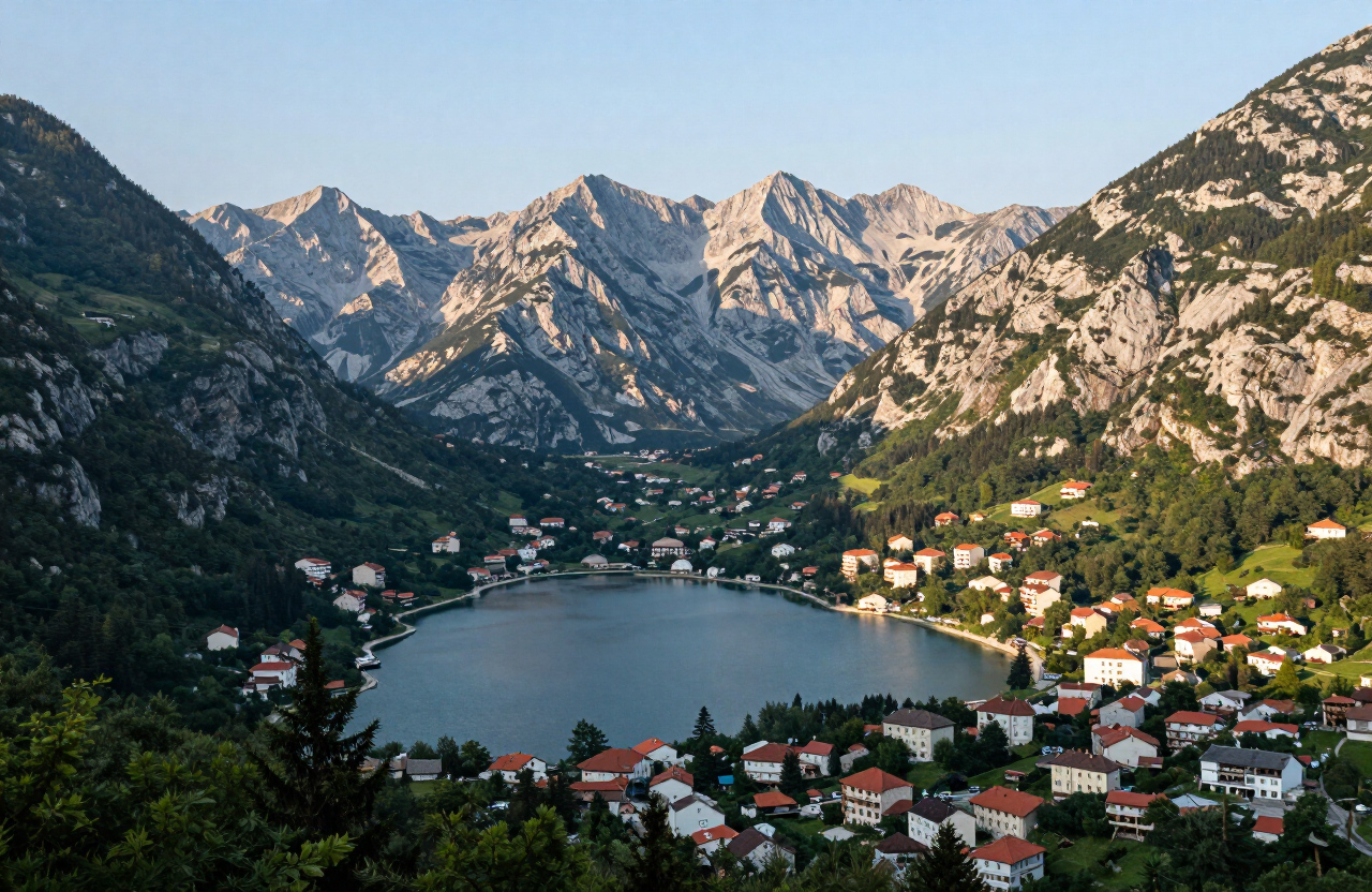
The Complete Durmitor Ring is the full circular drive around the Durmitor massif, closing the loop that the popular one-way Žabljak–Plužine traverse only half covers. From Žabljak the road crosses the Jezerska plateau past the Vražje and Riblje lakes, climbs over the exposed Sedlo pass beneath the high peaks, drops through the remote settlement of Trsa and winds down into the Piva canyon to Plužine. The return leg follows the reservoir landscape along the Piva lake shore, crosses the Mratine bridge and climbs back east through the small town of Šavnik to Žabljak. The ring is short in kilometres but long in character — a sequence of very different mountain landscapes (plateau, high pass, highland, canyon, reservoir and pine country) strung together by narrow, sometimes single-lane roads. It is a serious full-day drive with viewpoints and stops built in, not a quick loop, and it demands the same respect as any high-mountain road: stable weather, an early start and the willingness to turn back when conditions turn.
Starting in Žabljak, the ring follows the road across the Jezerska plateau, passing the roadside Vražje and Riblje lakes before the sustained climb toward Sedlo — the high pass beneath Bobotov Kuk where the terrain opens into bare high-mountain country with long views in every direction. Beyond Sedlo the road descends to Trsa, a remote highland settlement on the western flank of the massif, and continues down into the Piva canyon, following the tunnels and viewpoints of the canyon road to Plužine and the Piva lake waterfront. The loop then runs along the lake shore toward the Mratine bridge, crossing the Piva before turning east onto the road through pine forest and small highland villages toward Šavnik, the quiet little town at the crossroads of northern Montenegro. From Šavnik the final leg climbs back to Žabljak and closes the circle. The practical shape of the day: treat the western half (Sedlo–Trsa–Piva) as the morning highlight while light and weather are at their best, take lunch or a long stop around Plužine and the lake, and use the calmer eastern half through Šavnik for the return. Total distance and exact driving time are deliberately not stated here — check current road opening, weather, roadworks, fuel and any restrictions for every leg before departure, and treat shortening the ring (for example by turning back before the pass or returning via Nikšić on the main road) as the correct decision whenever conditions deteriorate.