Seasonal conditions
Operator-led trips in suitable river and weather conditions, commonly from spring through autumn; availability and difficulty vary with flow.
ROUTE
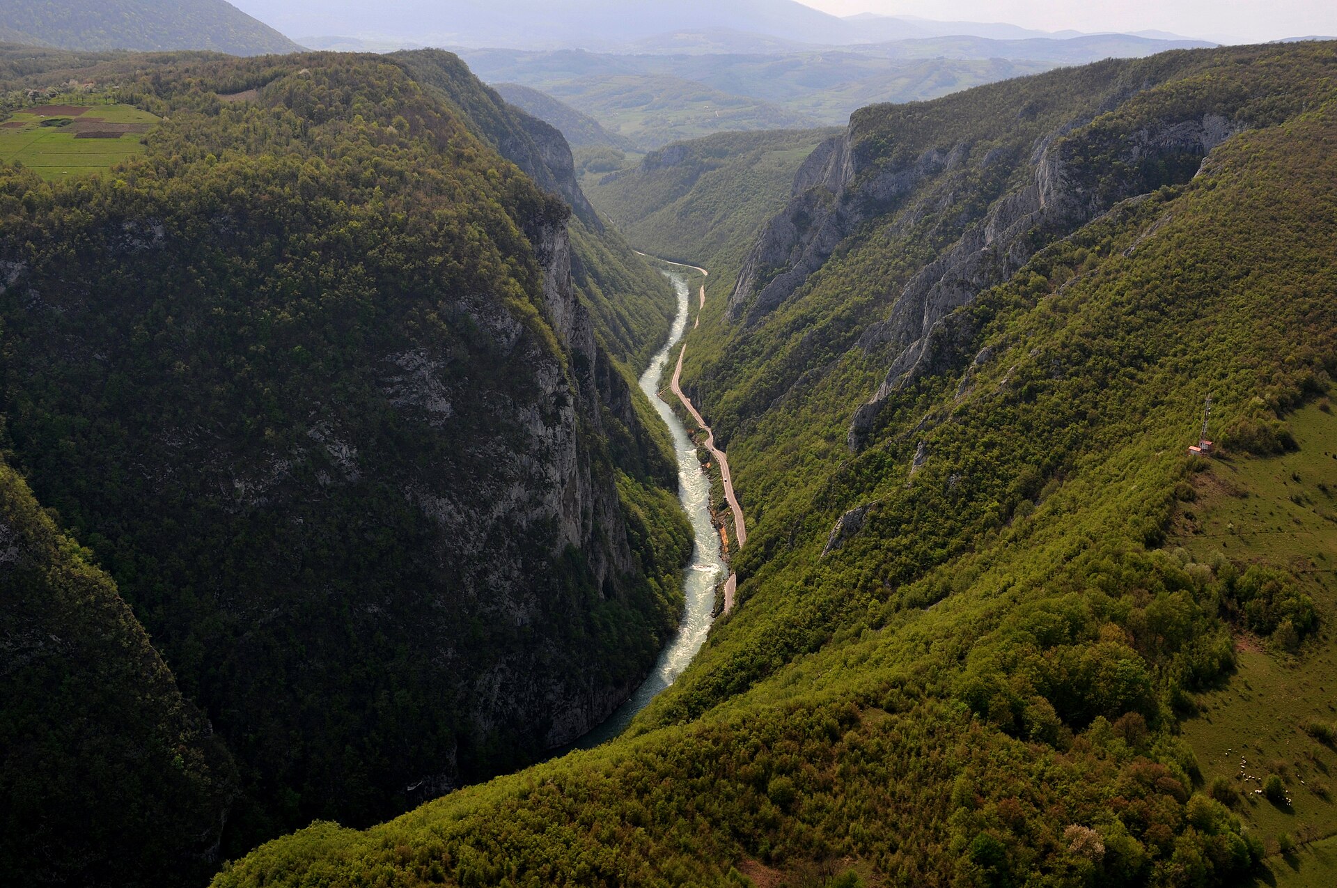
An operator-led white-water experience in the Vrbas canyon south of Banja Luka, with the exact river section selected for current flow and participant ability.
Budzak2 / Wikimedia Commons / CC BY-SA 4.0
ABOUT THIS ROUTE
The Vrbas canyon is Banja Luka’s signature river landscape. South of the city, the river passes through steep limestone scenery and internationally recognised white water. This route page describes the guided rafting experience as a controlled access route, not as a self-guided line or a promise that every booking uses the same launch, finish or rapid sequence.
Official local tourism information describes a broader 31-kilometre water-sports corridor from the Bočac dam towards Banja Luka through the Tijesno and Podmilačje canyons. The 2026 European Rafting Championships bulletin identifies a technical III/III+ competition course in the Vrbas canyon. Those facts do not define one universal recreational descent: operators choose sections according to flow, weather, group ability and logistics. Destination360 therefore stores no distance, duration, launch, finish, waypoints or route geometry. Confirm the exact meeting place, river section, rapid grade, equipment, transport and suitability directly with a qualified local operator before departure.
PLAN RESPONSIBLY
Operator-led trips in suitable river and weather conditions, commonly from spring through autumn; availability and difficulty vary with flow.
This is an organised white-water activity and must not be attempted independently from this page. Follow the guide’s briefing and commands. The Atlas marker is a general Banja Luka rafting access area, not a launch point, finish or navigation destination.
MAP & ROUTE
DESTINATIONS
INTERESTS
WEATHER
Forecast data from Open-Meteo. Updated regularly.
STORIES
REGIONS
KEEP EXPLORING
More routes, destinations and stories from every corner of the world — start where you like below.