destination360.orgPLACES / PEOPLE / STORIES
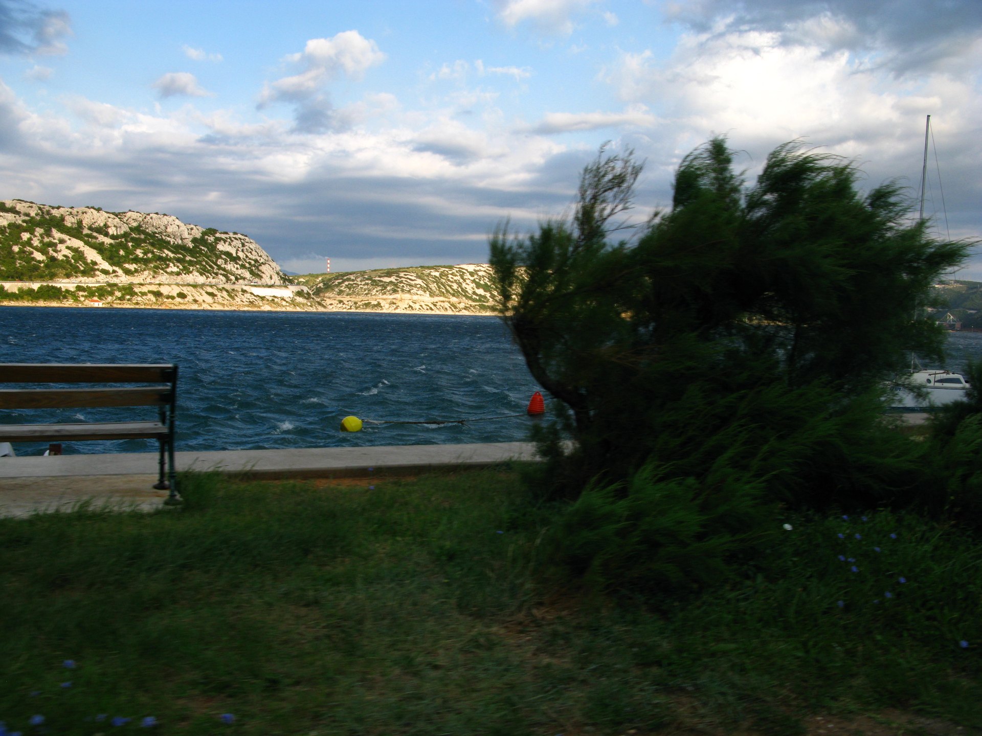
The Bakar bay and the terraced slopes of the Adriatic Highway east of Rijeka, Kvarner, Croatia

ROUTE

Kvarner Littoral Ride — Rijeka to Senj on the Adriatic Highway

The northern stretch of the Adriatic Highway along the Kvarner Gulf — Bakar terraces, the Crikvenica riviera and the raw Velebit approach to Senj.

scenic-road73 km1.5 heasy
DOWNLOAD GPX

Joadl / Wikimedia Commons / CC BY-SA 3.0

ABOUT THIS ROUTE

The route in detail

The Adriatic Highway (Jadranska magistrala, D8) leaves Rijeka and immediately earns its reputation: the road terraces above the deep-blue Bakar bay, crosses the vineyard slopes of the Bakar Wine Road, then unwinds along the Crikvenica and Novi Vinodolski rivieras with open sea views the whole way. East of Senj the Kvarner breeze (the bura) sweeps the coast, and the white karst wall of Velebit rises directly from the sea — a short, rewarding half-day ride with constantly changing scenery.

This is the shortest of the Adriatic Highway sections, but it packs in the most contrast. From Rijeka the D8 climbs over the Bakar terraces where ’bertolina’ vineyards step down to the water, then drops to Kraljevica with its two 16th-century castles framing the channel. The road follows the Crikvenica riviera past Selce and Novi Vinodolski, alternating between seafront straights and short climbs through maquis. After Senj the landscape turns noticeably wilder — the town sits at the foot of Velebit where the bura wind pours down to the sea, and the whole ride works best as an easy morning run before the summer coastal traffic builds.
PLAN RESPONSIBLY

Season & safety

Seasonal conditions

Open year-round. Best riding April to October; in summer ride early morning before beach traffic. In bura episodes (strong NE wind, mostly winter) gusts on the exposed sections near Senj can be severe — check HAK traffic reports before setting out. Verified 2026-11-07 (Hrvatski autoklub / HAK traffic conditions).

Key hazards

  • Shared coastal road with local traffic, buses and cyclists in season.
  • Sharp bends, narrow sections and occasional gravel or debris after rain or wind.
  • Tunnels and rapid light changes on some sections — keep a clear visor and remove sunglasses.
  • Strong bura (NE) wind episodes under Velebit and on exposed channel sections, mostly in winter.

Required gear

  • Certified motorcycle helmet and full protective riding gear.
  • Working lights and a clear visor suitable for tunnels and changing visibility.
  • Waterproof outer layer, an additional warm layer and charged phone.
  • Basic puncture and roadside emergency equipment appropriate for the motorcycle.

Check before you go

  • Check the current HAK traffic report (hak.hr) for the route sections.
  • Check the forecast for wind (especially bura) and rain along the coast.
  • Confirm sufficient fuel range — services thin out on the more remote sections.
  • Plan the ride within daylight and identify safe rest stops before departure.

Local guidance

Treat the published duration as riding time only. Follow posted limits, maintain space from larger vehicles, remove dark sunglasses before tunnels and never stop inside a tunnel or on an active traffic lane.

WAYPOINTS

Route points

  1. 01

    Rijeka

    start

  2. 02

    Bakar

    waypoint

  3. 03

    Kraljevica

    waypoint

  4. 04

    Crikvenica

    waypoint

  5. 05

    Novi Vinodolski

    waypoint

  6. 06

    Senj

    end

MAP & ROUTE

On the atlas

Elevation251 m high point0 m low point1,064 m total climbing23% steepest stretch (km 5.6)
251 m0 km69 km

INTERESTS

Why riders & travellers love it

WEATHER

Weather along the route

Forecast data from Open-Meteo. Updated regularly.

KEEP EXPLORING

The atlas continues

More routes, destinations and stories from every corner of the world — start where you like below.