Seasonal conditions
Open year-round; driest and clearest July–September. Watch for fog on the headlands in spring mornings.
ROUTE
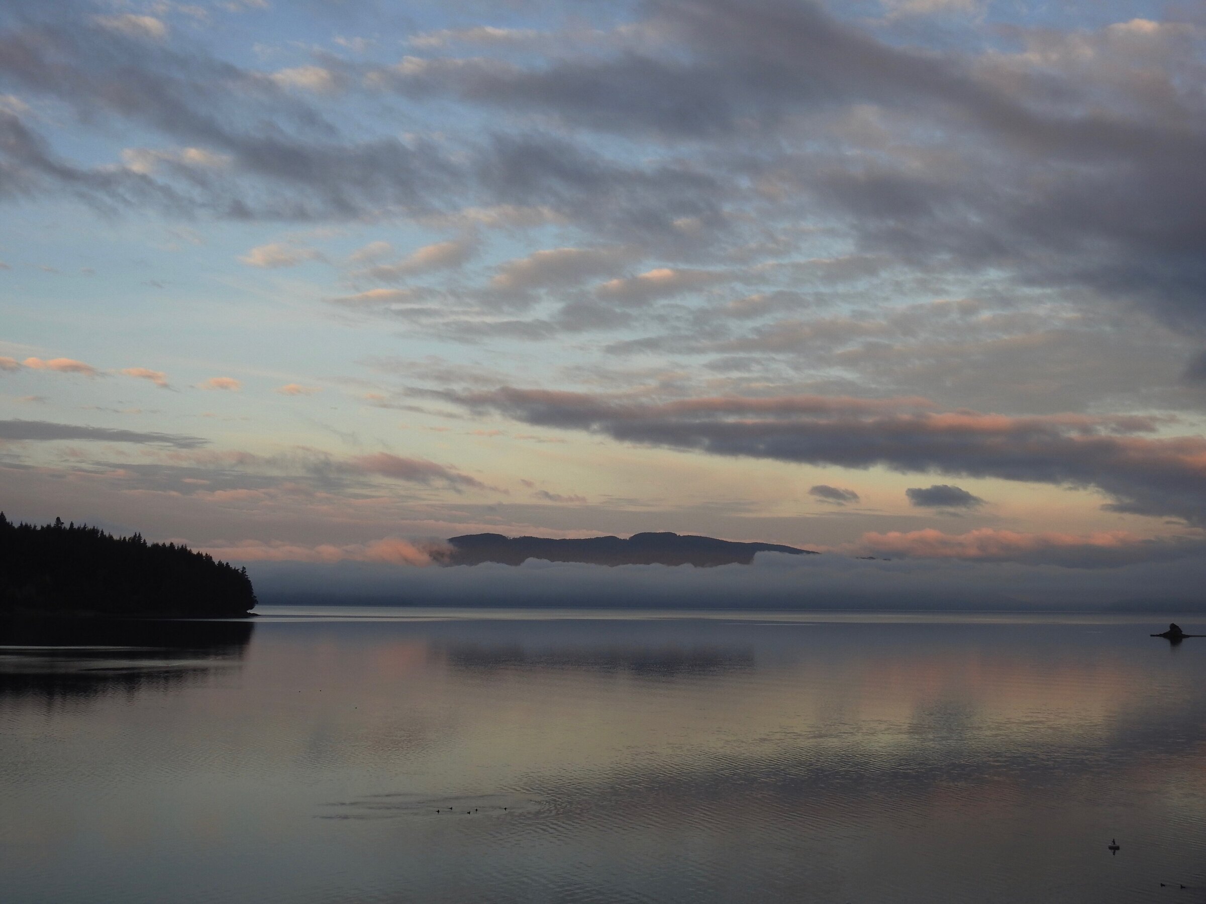
Washington’s classic coastal cruise: 31 km of cliff-hugging SR-11 between Bellingham’s Fairhaven village and the farm flats of Bow and Edison — Salish Sea on one side, forest on the other.
Waterboy881 / Wikimedia Commons / CC BY-SA 4.0
ABOUT THIS ROUTE
SR-11 clings to the Chuckanut Mountains’ seaward slope for 31 kilometres, the only place where the Cascades meet the sea in Washington. Leaving Fairhaven’s brick-fronted village, the road climbs into Larrabee State Park and runs a shelf above the tideline: coves and sandstone folds below, arbutus and fir above, the San Juan Islands spread across the Salish Sea. Past the Archie Carr overlooks the road drops to Samish Bay’s oyster flats and ends among the farm-to-table barns of Bow and Edison — a short ride that packs more water-and-mountain per kilometre than anything else in the northwest.
SR-11 clings to the Chuckanut Mountains’ seaward slope for 31 kilometres, the only place where the Cascades meet the sea in Washington. Leaving Fairhaven’s brick-fronted village, the road climbs into Larrabee State Park and runs a shelf above the tideline: coves and sandstone folds below, arbutus and fir above, the San Juan Islands spread across the Salish Sea. Past the Archie Carr overlooks the road drops to Samish Bay’s oyster flats and ends among the farm-to-table barns of Bow and Edison — a short ride that packs more water-and-mountain per kilometre than anything else in the northwest.
PLAN RESPONSIBLY
Open year-round; driest and clearest July–September. Watch for fog on the headlands in spring mornings.
WAYPOINTS
Edison, Skagit County
waypoint
MAP & ROUTE
INTERESTS
WEATHER
Forecast data from Open-Meteo. Updated regularly.
REGIONS
KEEP EXPLORING
More routes, destinations and stories from every corner of the world — start where you like below.


