Seasonal conditions
April to November — the basin closes with snow; morning frost possible into May.
ROUTE
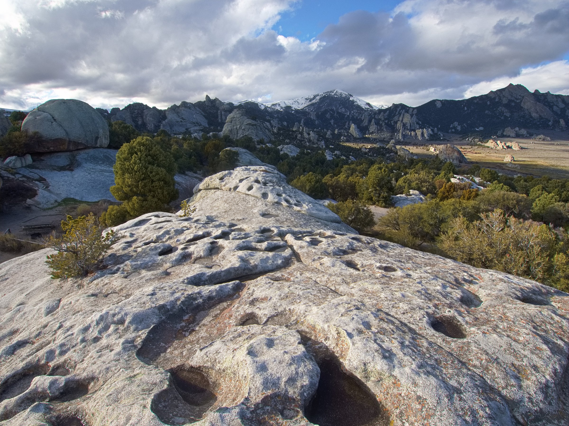
The granite detour: 48 km from Oakley across the basin to City of Rocks National Reserve — short, empty and unlike anywhere else in Idaho.
MattyMtn / Wikimedia Commons / CC BY-SA 4.0
ABOUT THIS ROUTE
The City of Rocks Backcountry Byway leaves the Oakley valley and climbs through the Basin into a hidden plaza of granite spires, where two-billion-year-old rock towers over the ruts of the old California Trail. Emigrants camped here and carved names into the stone; climbers now come from everywhere for the same domes. Short enough for an afternoon add-on to the Twin Falls or Craters ride, empty enough to feel like a secret.
The City of Rocks Backcountry Byway leaves the Oakley valley and climbs through the Basin into a hidden plaza of granite spires, where two-billion-year-old rock towers over the ruts of the old California Trail. Emigrants camped here and carved names into the stone; climbers now come from everywhere for the same domes. Short enough for an afternoon add-on to the Twin Falls or Craters ride, empty enough to feel like a secret.
PLAN RESPONSIBLY
April to November — the basin closes with snow; morning frost possible into May.
MAP & ROUTE
DESTINATIONS

A silent skyscraper city of granite in the Raft River hills — 2.5-billion-year-old towers where the California Trail emigrants carved their names and climbers worship today.
South Central Idaho

The Magic Valley capital on the Snake: Shoshone Falls’ 212-foot curtain, BASE jumpers off the Perrine Bridge, and the canyon Evel Knievel tried to jump.
South Central Idaho
INTERESTS
WEATHER
Forecast data from Open-Meteo. Updated regularly.
NEARBY

South Central Idaho

Central Idaho

Southeast Idaho

Southeast Idaho

Eastern Idaho

Southwest Idaho

Southwest Idaho
REGIONS
KEEP EXPLORING
More routes, destinations and stories from every corner of the world — start where you like below.