Seasonal conditions
All year; best March-May and September-October — the coulee floor exceeds 100°F on summer afternoons. Verified 2026-11-10 (route conditions).
ROUTE
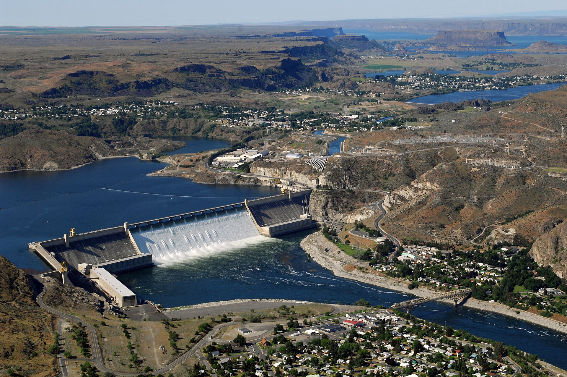
The ice-age flood highway: 59 km down the Grand Coulee past Banks Lake to Dry Falls — a 3.5-mile dry waterfall carved by Missoula floods — through basalt country like nowhere else.
United States Bureau of Reclamation / Wikimedia Commons / Public domain
ABOUT THIS ROUTE
State Route 155 runs the floor of the Grand Coulee, a 400-foot-deep basalt canyon gouged by the Missoula floods at the end of the last ice age. The ride starts beneath the largest concrete structure in the United States — Grand Coulee Dam, a mile wide — and follows the long water lens of Banks Lake south through desert-in-plain-sight country to Dry Falls, where a waterfall ten times the size of Niagara once ran and now stands completely dry. Empty, wide, hot and utterly unique; the corridor is also a National Scenic Byway.
From the dam — worth the tour itself — SR-155 drops into the coulee floor and follows Banks Lake, a 27-mile reservoir in the coulee’s throat, past basalt cliffs and rimrock. At the lake’s south end Coulee City offers the only fuel on the route, then SR-17 continues south through the lower coulee, where the walls narrow and the dry falls cataract complex begins. The interpretive center at Dry Falls sits on the cliff lip directly over the 400-foot drop: the view explains the Ice Age floods better than any museum. The ride can continue to Soap Lake for a hot-springs finish. Summer heat is serious — ride this one early.
PLAN RESPONSIBLY
All year; best March-May and September-October — the coulee floor exceeds 100°F on summer afternoons. Verified 2026-11-10 (route conditions).
WAYPOINTS
Coulee City — Banks Lake south end
waypoint
MAP & ROUTE
INTERESTS
WEATHER
Forecast data from Open-Meteo. Updated regularly.
REGIONS
KEEP EXPLORING
More routes, destinations and stories from every corner of the world — start where you like below.


