Seasonal conditions
April to October — summer heat on the lava is extreme; ride mornings. Verified 2026-11-10.
ROUTE
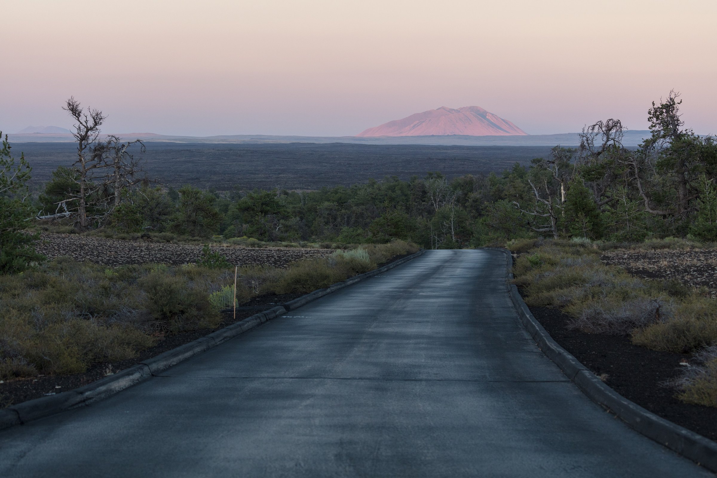
A ride through two Idahos: 120 km from Arco — the first town powered by nuclear electricity — through the black lava fields of Craters of the Moon to Mackay beneath the Lost River wall.
<a rel="nofollow" class="external text" href="https://www.flickr.com/people/93062192@N08">Craters of the Moon National M / Wikimedia Commons / Public domain
ABOUT THIS ROUTE
This short loop packs Idaho’s strangest geography: US-20/26/93 from Arco runs the edge of the Great Rift’s lava flows — a frozen black ocean with cinder cones and the walkable Indian Tunnel — then turns up the Big Lost valley to Mackay, where the 12,000-foot wall of the Lost River Range ends the horizon. Arco’s atomic heritage (the town’s BReactors connection and the sail of the USS Nautilus on Main Street) makes the start worth an hour before the ride.
This short loop packs Idaho’s strangest geography: US-20/26/93 from Arco runs the edge of the Great Rift’s lava flows — a frozen black ocean with cinder cones and the walkable Indian Tunnel — then turns up the Big Lost valley to Mackay, where the 12,000-foot wall of the Lost River Range ends the horizon. Arco’s atomic heritage (the town’s BReactors connection and the sail of the USS Nautilus on Main Street) makes the start worth an hour before the ride.
PLAN RESPONSIBLY
April to October — summer heat on the lava is extreme; ride mornings. Verified 2026-11-10.
WAYPOINTS
Craters of the Moon visitor center — the lava loop
waypoint
MAP & ROUTE
DESTINATIONS

A volcanic moonscape on the Snake River Plain — cinder cones, lava tubes and wildflower islands where Apollo astronauts trained for the Moon.
South Central Idaho

The Magic Valley capital on the Snake: Shoshone Falls’ 212-foot curtain, BASE jumpers off the Perrine Bridge, and the canyon Evel Knievel tried to jump.
South Central Idaho
INTERESTS
WEATHER
Forecast data from Open-Meteo. Updated regularly.
REGIONS
KEEP EXPLORING
More routes, destinations and stories from every corner of the world — start where you like below.


