Seasonal conditions
All year — best April-October; canyon heat in July-August is real, ride mornings.
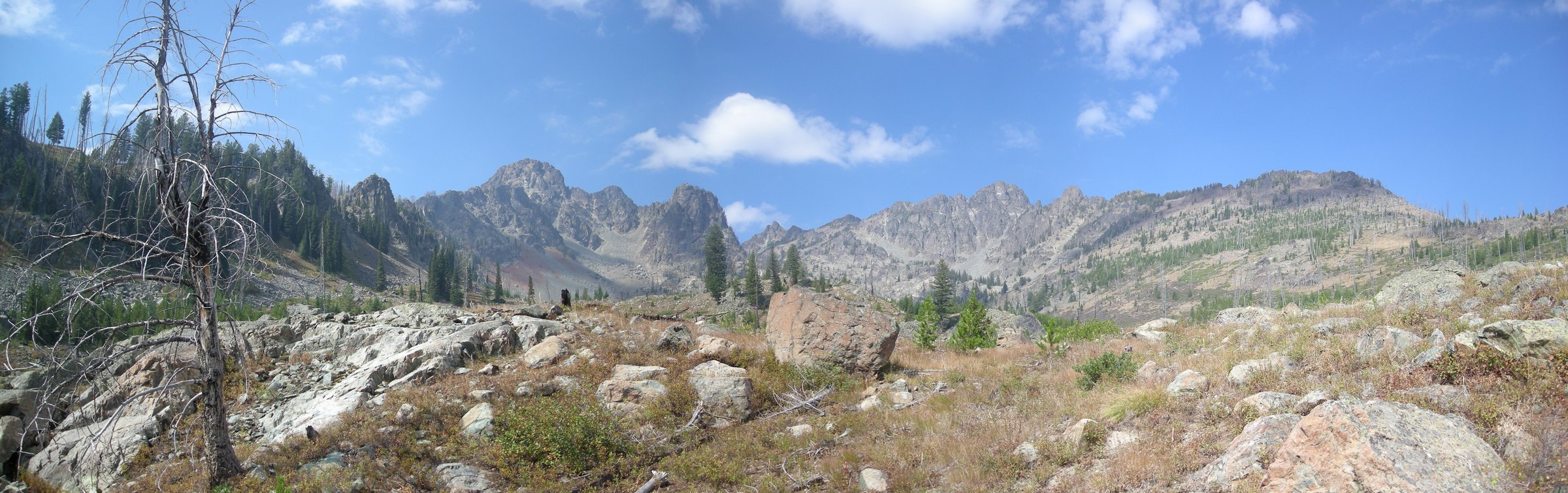
ROUTE
The deepest gorge in North America from the ridge: 238 km of US-95 descending White Bird’s canyon grades, following the free-flowing Salmon through Riggins and climbing the Seven Devils country to New Meadows.
<a href="//commons.wikimedia.org/wiki/User:Adumbvoget" title="User:Adumbvoget">Adumbvoget</a> / Wikimedia Commons / Public domain
ABOUT THIS ROUTE
US-95 through western Idaho is the state’s big-mountain ride: from Lewiston the highway dives and climbs through the White Bird battlefield canyon — Nez Perce history under every switchback — drops to the Salmon River at Riggins (the rafting capital), then climbs through the dry Seven Devils approaches to New Meadows. The scale is western: canyon walls deeper than the Grand Canyon’s, a river that runs wild, and long empty grades that make every mile a riding mile.
US-95 through western Idaho is the state’s big-mountain ride: from Lewiston the highway dives and climbs through the White Bird battlefield canyon — Nez Perce history under every switchback — drops to the Salmon River at Riggins (the rafting capital), then climbs through the dry Seven Devils approaches to New Meadows. The scale is western: canyon walls deeper than the Grand Canyon’s, a river that runs wild, and long empty grades that make every mile a riding mile.
PLAN RESPONSIBLY
All year — best April-October; canyon heat in July-August is real, ride mornings.
WAYPOINTS
White Bird — the 1877 battlefield overlook
waypoint
Riggins — the Salmon River rafting capital
waypoint
MAP & ROUTE
DESTINATIONS

The deepest gorge in North America — 7,993 feet of basalt and sky above the Snake River — and the Salmon, the longest free-flowing river left in the lower 48.
North Central Idaho

Twin river cities at Idaho’s lowest point — where the Clearwater meets the Snake and the gateway to Hells Canyon opens.
North Central Idaho
INTERESTS
WEATHER
Forecast data from Open-Meteo. Updated regularly.
REGIONS
KEEP EXPLORING
More routes, destinations and stories from every corner of the world — start where you like below.


