Seasonal conditions
All year with winter gate windows (roughly 9-4, weather permitting); clearest July-September. Verified 2026-11-10 (route conditions).
ROUTE
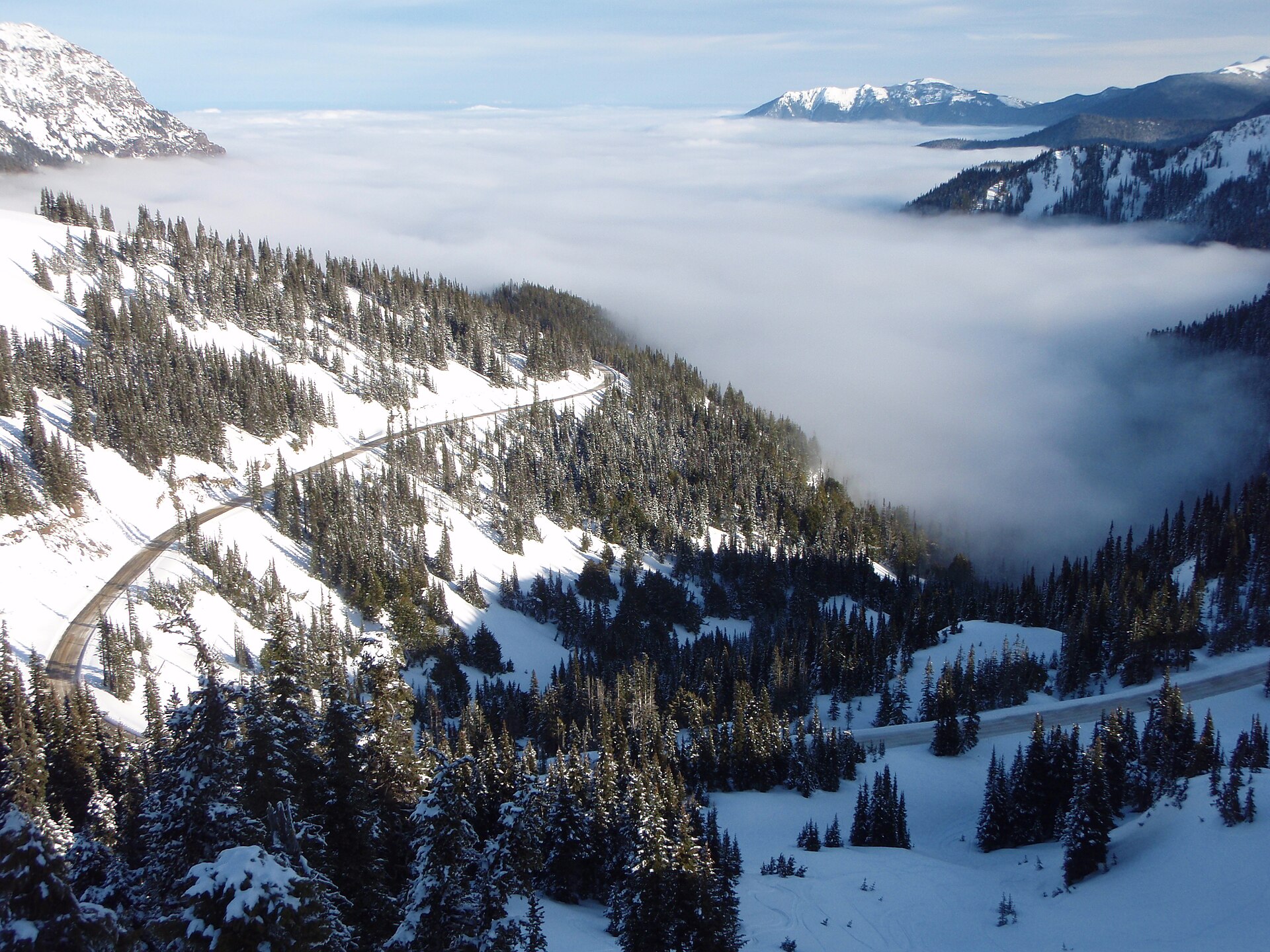
The Olympic Peninsula’s sky ride: 12 km round trip climbing 5,000 feet from Port Angeles harbor to the Hurricane Ridge meadows, with the Olympic peaks and the Strait of Juan de Fuca in one view.
Olympic National Park / Wikimedia Commons / Public domain
ABOUT THIS ROUTE
Hurricane Ridge Road is short and enormous: from the harbor town of Port Angeles the road gains roughly a vertical mile in ten miles of pavement, climbing out of fog into subalpine meadows where black-tailed deer graze by the guardrail. At the visitor center the Olympic range spreads south — Mount Olympus, the Bailey Range, Mount Carrie — and on clear days the Strait of Juan de Fuca and Vancouver Island shine north. The name is honest: the ridge regularly hits hurricane-force winds. Park entrance fee; the road closes weeknights in winter and the gate times shift seasonally.
The climb leaves Port Angeles on Race Street and enters Olympic National Park within two miles, then begins the steady ascent: 36 switchback-free but unrelenting curves through Douglas fir, past the Heart O’the Hills campground, breaking tree line at the meadows around mile 8. Watch for deer and the occasional mountain goat on the upper road. The visitor center parking lot at 5,242 feet is the trailhead for the Hurricane Hill paved path and the Klahhane Ridge route; the vista south is the entire Olympic core. The descent needs the same care as the climb — brakes and patience. In winter the road opens weather permitting, roughly 9-4, and becomes a cross-country ski destination.
PLAN RESPONSIBLY
All year with winter gate windows (roughly 9-4, weather permitting); clearest July-September. Verified 2026-11-10 (route conditions).
MAP & ROUTE
DESTINATIONS
INTERESTS
WEATHER
Forecast data from Open-Meteo. Updated regularly.
REGIONS
KEEP EXPLORING
More routes, destinations and stories from every corner of the world — start where you like below.


