Seasonal conditions
April to October for the full loop; clear cold days in winter also work but castle access is seasonal. Verified 2026-11-09 (road conditions).
ROUTE
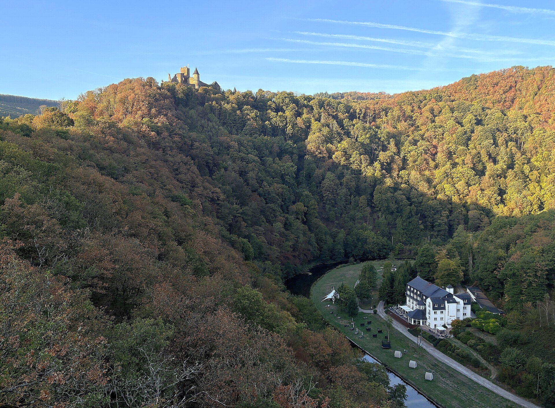
A big Ardennes day-loop from Vianden along the Our and Sûre valleys through Esch-sur-Sûre and Bourscheid castle to Ettelbruck and back — the finest motorcycle miles of the Éislek.
Heinrich Stürzl / Wikimedia Commons / CC BY-SA 4.0
ABOUT THIS ROUTE
The Éislek — Luxembourg's northern Ardennes — is the country's real riding country: forests, river gorges and castle-crowned hills with barely a straight kilometre anywhere. This loop strings the three great sights together: Vianden below its restored castle, the ruined cliff castle at Esch-sur-Sûre above the Sûre bend, and Bourscheid, the biggest castle in the land, high above the river confluence. Between them the roads cross the Upper Sûre lake country and the Our valley on well-surfaced, empty switchbacks that carry almost no through traffic. A full morning at a touring pace, a full day with castle stops.
From Vianden the loop drops to the Our valley road and runs south before climbing west through the forests of the Canton of Wiltz to Esch-sur-Sûre, the pocket-sized village looped by the Sûre river beneath its ruined castle spur. The reservoir country of the Upper Sûre follows: lake views, forestry switchbacks and long empty sweeps north to Bourscheid, where the vast medieval castle stands on a promontory 150 metres above the Sûre. From Bourscheid the route drops into the Alzette valley at Ettelbruck — the Éislek's market town and the sensible fuel and coffee stop — before the return leg climbs back east over the ridge roads to Vianden. Expect narrow tree-lined sections, farm traffic and deer at dawn and dusk; the surface quality is uniformly good.
PLAN RESPONSIBLY
April to October for the full loop; clear cold days in winter also work but castle access is seasonal. Verified 2026-11-09 (road conditions).
WAYPOINTS
Esch-sur-Sûre and the Sûre bend
waypoint
Bourscheid Castle
waypoint
Ettelbruck — fuel and market town
waypoint
MAP & ROUTE
DESTINATIONS
INTERESTS
WEATHER
Forecast data from Open-Meteo. Updated regularly.
REGIONS
KEEP EXPLORING
More routes, destinations and stories from every corner of the world — start where you like below.


