Seasonal conditions
Lower section all year; Artist Point segment typically July-September (snow-bound otherwise). Verified 2026-11-10 (route conditions).
ROUTE
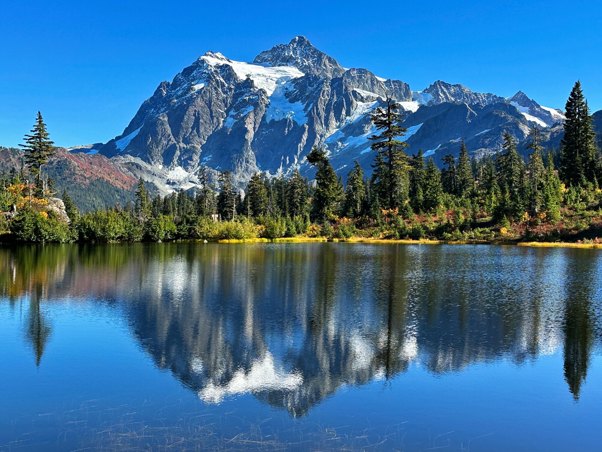
The highest public road in Washington: SR-542 climbs from Bellingham past Nooksack Falls to the ski area and ends at Artist Point under Mount Shuksan — 100 km round trip to a 5,200-foot cirque.
jhvanwa / Wikimedia Commons / CC0
ABOUT THIS ROUTE
SR-542 is a dead-end road with a payoff few dead ends can match. From the college town of Bellingham it follows the North Fork Nooksack river into steep forest, passes Nooksack Falls, and then breaks tree line at the Mount Baker Ski Area — the snowiest place on earth some winters. The final miles to Artist Point are a suspended gravel-and-pavement ledge across the_headers, with Mount Shuksan filling the windscreen and Mount Baker volcano looming left. At the end: a 360-degree cirque at 5,200 feet. The last 5 miles are seasonal, typically July through September.
Leaving Bellingham the highway runs through farmland and second-growth to the river canyon at Nugent’s Corner, then begins the real climb past the falls turnoff. Above the ski area the road narrows to a two-lane ledge cut across the HeadWall, with drop-offs protected only by snow poles — ride it early before the tourist stream. Artist Point has the trailheads for the Chain Lakes and_hwta loop, plus the famous Shuksan-over-Picture-Lake view one switchback below the parking lot. There is nothing at the end — no fuel, no food, no water — so Glacier is the last stop. The upper section closes with the first serious snow and does not reopen until the plows win, usually late June or July.
PLAN RESPONSIBLY
Lower section all year; Artist Point segment typically July-September (snow-bound otherwise). Verified 2026-11-10 (route conditions).
WAYPOINTS
Glacier — the last services
waypoint
Mount Baker Ski Area — the road narrows
waypoint
MAP & ROUTE
INTERESTS
WEATHER
Forecast data from Open-Meteo. Updated regularly.
REGIONS
KEEP EXPLORING
More routes, destinations and stories from every corner of the world — start where you like below.


