Seasonal conditions
April to October for the full ridge climb; the upper section closes with snow and the observatory runs May-October. Verified 2026-11-10 (route conditions).
ROUTE
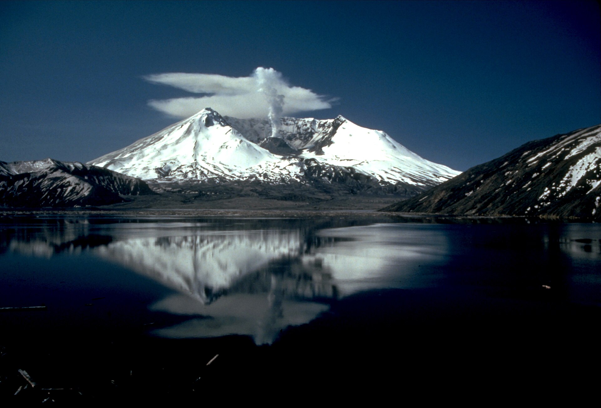
The ride into a volcano: 74 km round trip up the Spirit Lake Memorial Highway through the 1980 blast zone to the observatory facing the crater mouth — the strangest landscape riding in Washington.
Lyn Topinka / Wikimedia Commons / Public domain
ABOUT THIS ROUTE
SR-504 is a road through time. From Castle Rock on I-5 it climbs the Toutle valley through country that was buried gray under the May 18, 1980 eruption — and where forty years of green is reclaiming the gray in visible bands. At Coldwater the ridge opens, and the last miles climb to Johnston Ridge, where the observatory platform stares directly into the crater: the lava dome, the breached north wall, the downed-forest landscape of the blast Pumice Plain. No other ride in the state ends with a view like it. The highway ends at the observatory — it is a ride in and the same road out.
The highway leaves I-5 at Castle Rock and follows the North Toutle through hummocks — the 100-foot clay mounds the landslide left behind. The Hummocks and Science Learning center overlooks mark the first views of the volcano. Beyond Coldwater the road climbs hard through the gray zone, switchbacking up the ridge with Spirit Lake glimpsed through the trees, and tops at the observatory — where ranger talks run hourly in season and the crater sits a half mile away. Everything above 1,500 feet on the north side is a protected volcanic monument: no fuel, no water, wind exposure on the ridge — ride it in morning light before the tour buses. The road is open to Johnston Ridge most of the year but closes at theHummocks in winter.
PLAN RESPONSIBLY
April to October for the full ridge climb; the upper section closes with snow and the observatory runs May-October. Verified 2026-11-10 (route conditions).
WAYPOINTS
Coldwater Lake — the 1980 landslide shore
waypoint
MAP & ROUTE
INTERESTS
WEATHER
Forecast data from Open-Meteo. Updated regularly.
REGIONS
KEEP EXPLORING
More routes, destinations and stories from every corner of the world — start where you like below.


