Seasonal conditions
April to October — the upper loop section closes with snow and the gravel miles are best avoided in rain. Verified 2026-11-10 (route conditions).
ROUTE
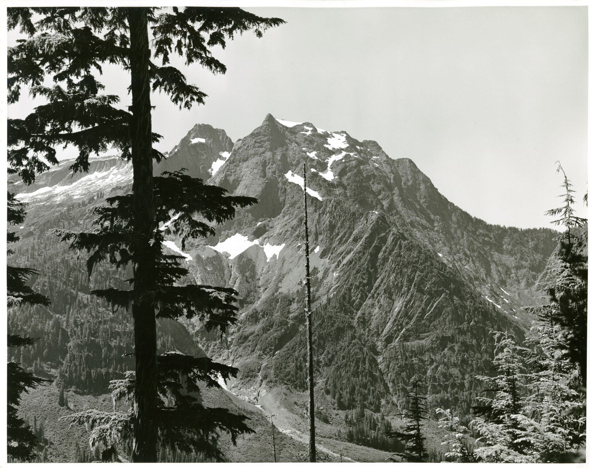
The locals’ secret: 105 km of narrow forest pavement past Big Four Mountain’s ice caves and ghost towns — a slow, shady, gorgeous old route linking the Stillaguamish to the North Cascades back door.
NPS Photo / Wikimedia Commons / Public domain
ABOUT THIS ROUTE
The Mountain Loop is the road Washington riders keep quiet about. Half closed-ish-feeling, half paved marvel, it threads between Granite Falls and Darrington through old-growth cedar, past the Big Four ice caves and the ghost-town sites of Monte Cristo and Silverton, along the Stillaguamish’s trout water. It is narrow, mossy, low-traffic and beautiful in a way the big highways are not — the mountain-forest ride for a slow morning. The middle stretch beyond Darrington is gravel for a few miles; most riders do the paved Granite Falls to Darrington half.
From Granite Falls the Mountain Loop Highway (FR-20 for part of its length) follows the South Stillaguamish up past the Verlot ranger station — the informally iconic view across the valley to Big Four’s white granite face and its ice caves, the trail to which leaves from the parking lot at mile 20. Beyond, the road climbs gently past the ghost-town signs of Silverton and Monte Cristo (both hike-in), through old burns where the mountains open up, and drops to the Sauk river valley at Darrington — a timber town with a famous beer welcome at the end. Full loop riders continue west to Arlington on SR-530 along the river; the middle section past the end of county maintenance turns to narrow gravel. Ride slow: this road is about the forest, not the pace.
PLAN RESPONSIBLY
April to October — the upper loop section closes with snow and the gravel miles are best avoided in rain. Verified 2026-11-10 (route conditions).
WAYPOINTS
Verlot — the Mountain Loop ranger station and Big Four trailhead
waypoint
MAP & ROUTE
DESTINATIONS

The wildest road in Washington: peaks, turquoise reservoirs and the heart of the American Alps
North Cascades

The road to the most beautiful dead end in America: sea-level farms to a 1,650-metre viewpoint between two great volcanic peaks in 58 miles
North Cascades
INTERESTS
WEATHER
Forecast data from Open-Meteo. Updated regularly.
NEARBY

Olympic Peninsula

Olympic Peninsula
North Cascades

North Cascades

Mount Rainier & the South Cascades

Mount Rainier & the South Cascades
REGIONS
KEEP EXPLORING
More routes, destinations and stories from every corner of the world — start where you like below.