Seasonal conditions
Two-day ride best May–September and again in September–October color; the west coast is wet and foggy October–April. Hurricane Ridge road closes in winter.
ROUTE
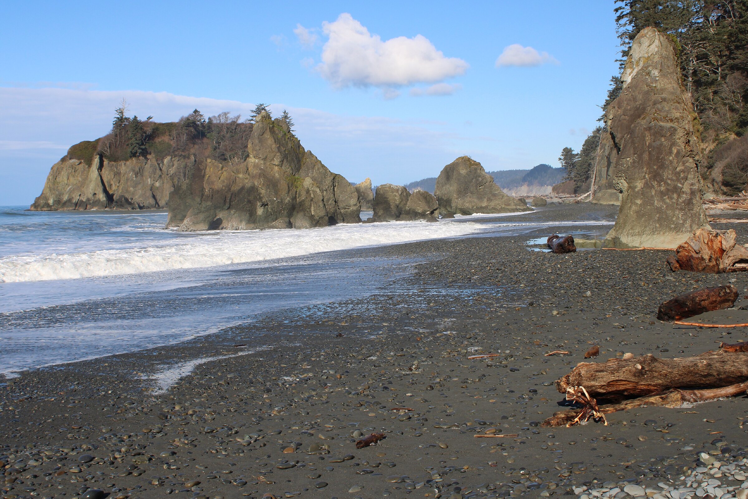
Washington’s big one: 500 km of US-101 ringing the Olympic Peninsula — Hood Canal, the rainforest coast, Kalaloch’s bluffs and the Straits — best ridden over two days.
Chris Light / Wikimedia Commons / CC BY-SA 4.0
ABOUT THIS ROUTE
US-101 circles the Olympic Peninsula the way no other highway in the state does: 500 kilometres of water-and-forest riding that touches Hood Canal’s fjord at Hoodsport, the Dungeness crab town of Sequim, Port Angeles under the Olympic peaks, and the wild Pacific coast at Kalaloch and Ruby Beach before curling home through Aberdeen and Shelton. This is a two-day destination ride, not a day loop: split it at Port Angeles or Kalaloch, ride the west side in the morning light, and give the rainforest beaches and the strait views their own days. A side trip up Hurricane Ridge’s mountain road (the park’s classic climb) fits the Port Angeles overnight — the ridge road itself is covered by its own route. Bring range: fuel stops thin out on the west coast stretch.
US-101 circles the Olympic Peninsula the way no other highway in the state does: 500 kilometres of water-and-forest riding that touches Hood Canal’s fjord at Hoodsport, the Dungeness crab town of Sequim, Port Angeles under the Olympic peaks, and the wild Pacific coast at Kalaloch and Ruby Beach before curling home through Aberdeen and Shelton. This is a two-day destination ride, not a day loop: split it at Port Angeles or Kalaloch, ride the west side in the morning light, and give the rainforest beaches and the strait views their own days. A side trip up Hurricane Ridge’s mountain road (the park’s classic climb) fits the Port Angeles overnight — the ridge road itself is covered by its own route. Bring range: fuel stops thin out on the west coast stretch.
PLAN RESPONSIBLY
Two-day ride best May–September and again in September–October color; the west coast is wet and foggy October–April. Hurricane Ridge road closes in winter.
WAYPOINTS
Hoodsport, Hood Canal
waypoint
Port Angeles
waypoint
Kalaloch
waypoint
Aberdeen, Washington
waypoint
MAP & ROUTE
INTERESTS
WEATHER
Forecast data from Open-Meteo. Updated regularly.
REGIONS
KEEP EXPLORING
More routes, destinations and stories from every corner of the world — start where you like below.


