Seasonal conditions
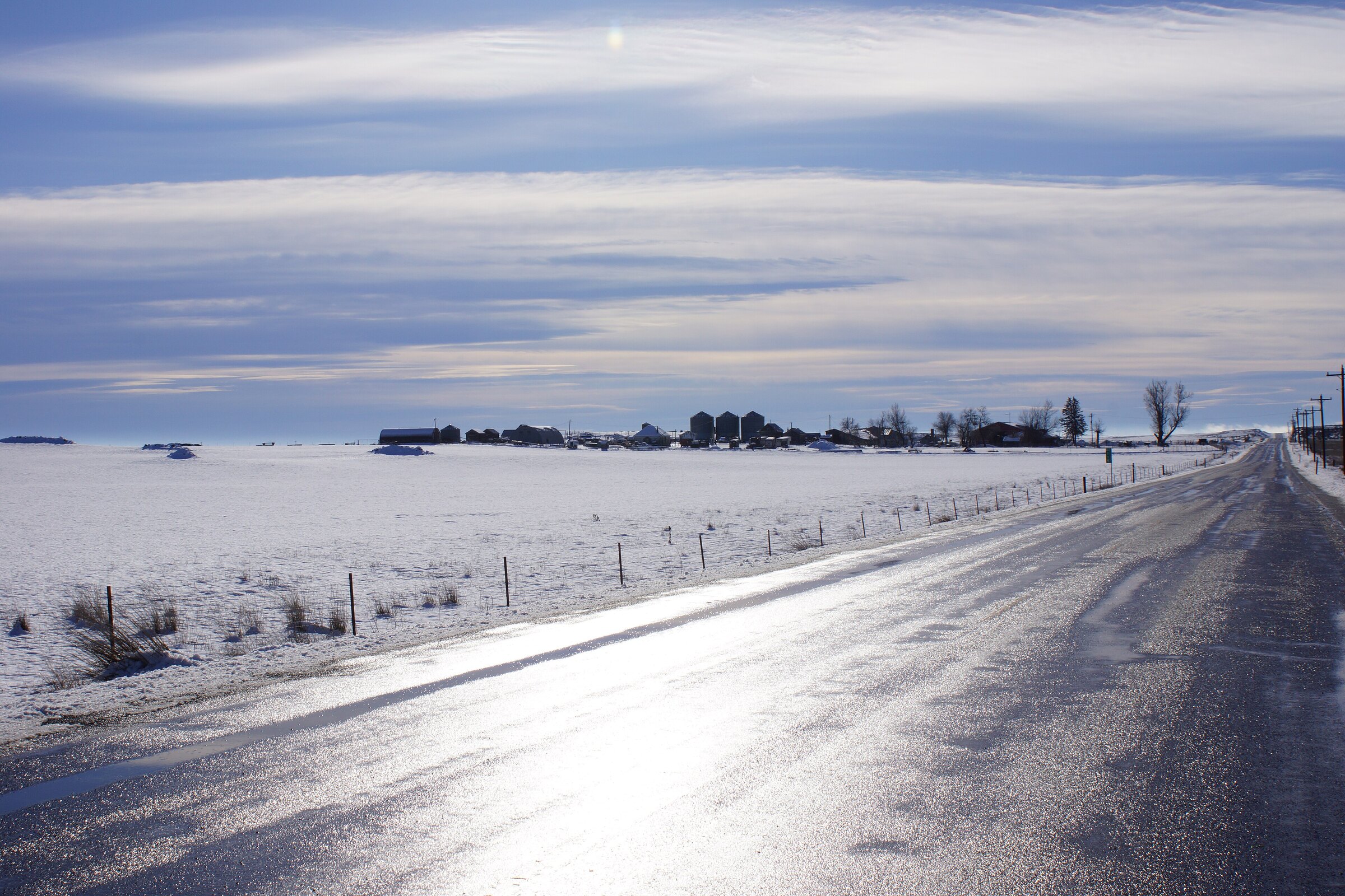
Best May–June (green hills) and August–October (harvest gold); winters bring snow and wind on the open tops.
ROUTE
The loess-hills grand tour: 116 km of farm-road loop from Colfax through the town of Palouse, up 1,011-metre Steptoe Butte and home via Oakesdale’s grain elevator skyline.
Chris English / Wikimedia Commons / CC BY-SA 3.0
ABOUT THIS ROUTE
The Palouse is riding country that photographs like nowhere else in America: 116 kilometres of loop road threading the green and gold loess hills between Colfax, the Victorian storefronts of the town of Palouse, the summit of Steptoe Butte — a 1,011-metre quartzite island with the whole wheat ocean in every direction — and Oakesdale’s towering wooden grain elevators. The roads are empty, straight-then-rolling, surfaced in good farm pavement; the traffic is combines in August. Ride it in late May for electric-green hills or September for harvest gold, and climb the butte’s spiral road late in the day when the shadows give the land its depth.
The Palouse is riding country that photographs like nowhere else in America: 116 kilometres of loop road threading the green and gold loess hills between Colfax, the Victorian storefronts of the town of Palouse, the summit of Steptoe Butte — a 1,011-metre quartzite island with the whole wheat ocean in every direction — and Oakesdale’s towering wooden grain elevators. The roads are empty, straight-then-rolling, surfaced in good farm pavement; the traffic is combines in August. Ride it in late May for electric-green hills or September for harvest gold, and climb the butte’s spiral road late in the day when the shadows give the land its depth.
PLAN RESPONSIBLY
Best May–June (green hills) and August–October (harvest gold); winters bring snow and wind on the open tops.
WAYPOINTS
Palouse, Washington
waypoint
Steptoe Butte summit
waypoint
Oakesdale, Washington
waypoint
MAP & ROUTE
INTERESTS
WEATHER
Forecast data from Open-Meteo. Updated regularly.
REGIONS
KEEP EXPLORING
More routes, destinations and stories from every corner of the world — start where you like below.


