Seasonal conditions
All year — best April-October; fall colors and steelhead season in September are the locals’ pick.
ROUTE
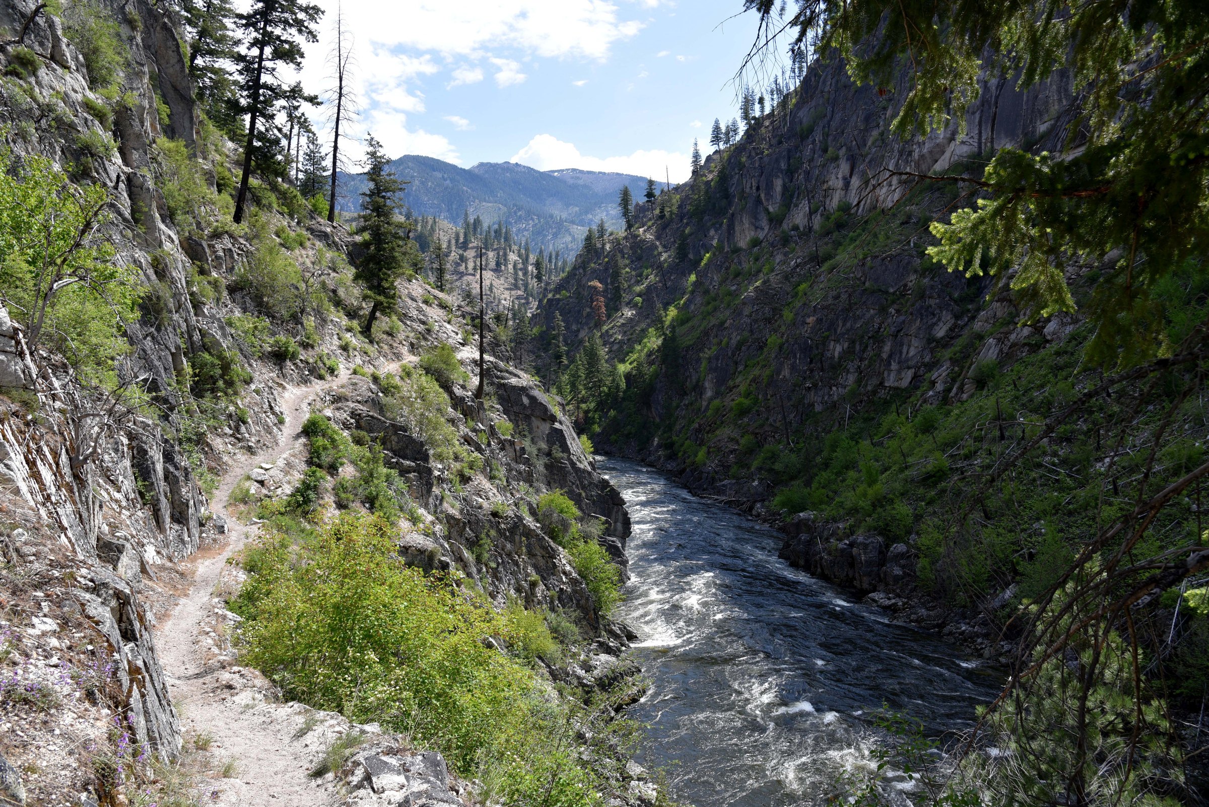
The whitewater highway: 176 km of Payette River canyon, the whitewater capital of the West, climbing through Cascade and Long Valley to McCall on Payette Lake.
<a rel="nofollow" class="external text" href="https://www.flickr.com/people/usforestservice/">Forest Service Photography / Wikimedia Commons / Public domain
ABOUT THIS ROUTE
Highway 55 is Idaho’s great near-town ride: the road hugs the Payette River through Class III-IV whitewater canyons — rafters all summer, steelhead runs in fall — past the Banks junction where the North Fork climbs, through the long farm flats of Long Valley at Cascade and Donnelly, to the lakeside resort town of McCall under the 9,000-foot Salmon River mountains. Wide sweepers in the canyon, straights in the valley, and Boise’s weekend crowd to outrun.
Highway 55 is Idaho’s great near-town ride: the road hugs the Payette River through Class III-IV whitewater canyons — rafters all summer, steelhead runs in fall — past the Banks junction where the North Fork climbs, through the long farm flats of Long Valley at Cascade and Donnelly, to the lakeside resort town of McCall under the 9,000-foot Salmon River mountains. Wide sweepers in the canyon, straights in the valley, and Boise’s weekend crowd to outrun.
PLAN RESPONSIBLY
All year — best April-October; fall colors and steelhead season in September are the locals’ pick.
WAYPOINTS
Cascade — the reservoir junction
waypoint
Donnelly — Long Valley’s farm crossroads
waypoint
MAP & ROUTE
DESTINATIONS

The City of Trees on the Boise River: a greenbelt capital under Table Rock, the world’s raptor capital, and the biggest Basque community outside Spain.
Southwest Idaho

A sawmill town turned alpine playground on Payette Lake: Brundage powder, Ponderosa pines, Loon Lake wilderness and the Winter Carnival.
Southwest Idaho
INTERESTS
WEATHER
Forecast data from Open-Meteo. Updated regularly.
REGIONS
KEEP EXPLORING
More routes, destinations and stories from every corner of the world — start where you like below.


