Seasonal conditions
May to October — winter closes the high stretches; the valley rides best in the long light of June-August.
ROUTE
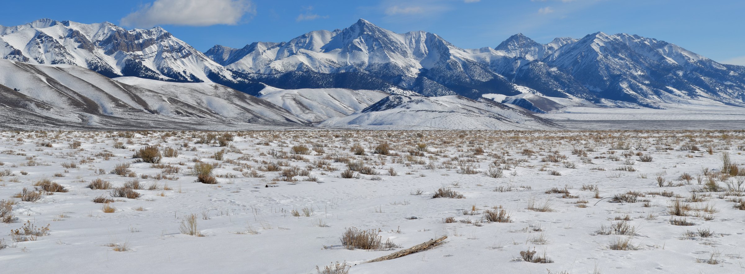
Idaho’s empty middle: 183 km from Ketchum up the Lost River valley beneath 12,662-foot Borah Peak to Challis — high desert, big peaks and no traffic.
<a rel="nofollow" class="external text" href="https://www.flickr.com/people/90525319@N07">BLMIdaho</a> / Wikimedia Commons / Public domain
ABOUT THIS ROUTE
Highway 93 north from Ketchum runs the Long Valley and the Lost River Range — Idaho’s tallest and loneliest mountains — through the ranch town of Mackay under Borah Peak, the state’s rooftop at 12,662 feet. The road is broad, fast and almost always empty, and the high-desert light over the big white peaks is some of the best riding scenery in the American West. Fuel in Ketchum and Mackay; Challis ends the day with the Salmon River byways beyond.
Highway 93 north from Ketchum runs the Long Valley and the Lost River Range — Idaho’s tallest and loneliest mountains — through the ranch town of Mackay under Borah Peak, the state’s rooftop at 12,662 feet. The road is broad, fast and almost always empty, and the high-desert light over the big white peaks is some of the best riding scenery in the American West. Fuel in Ketchum and Mackay; Challis ends the day with the Salmon River byways beyond.
PLAN RESPONSIBLY
May to October — winter closes the high stretches; the valley rides best in the long light of June-August.
WAYPOINTS
Mackay — under Idaho’s highest peak
waypoint
MAP & ROUTE
DESTINATIONS

America’s original ski resort town beneath Bald Mountain, where Hemingway’s ghost, groomed corduroy and a wild Sawtooth skyline share one valley.
Central Idaho

Birthplace of Sacajawea and launchpad of the River of No Return — a rough-edged river town, three ghost towns and Idaho’s highest summit.
Central Idaho

A volcanic moonscape on the Snake River Plain — cinder cones, lava tubes and wildflower islands where Apollo astronauts trained for the Moon.
South Central Idaho
INTERESTS
WEATHER
Forecast data from Open-Meteo. Updated regularly.
NEARBY

Central Idaho

Southwest Idaho

North Central Idaho

South Central Idaho

Eastern Idaho

South Central Idaho

Eastern Idaho

Eastern Idaho
REGIONS
KEEP EXPLORING
More routes, destinations and stories from every corner of the world — start where you like below.