Seasonal conditions
April to November — summit snow can linger into April; the byway is plowed year-round but rides best June-October.
ROUTE
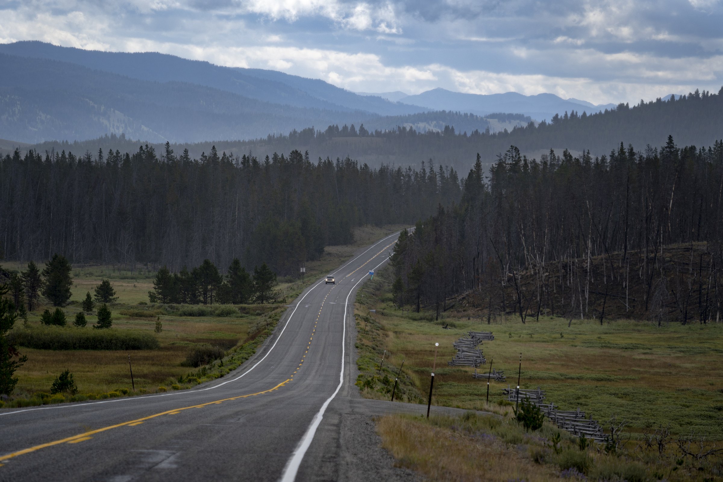
The Boise pole route: 121 km of gold-rush history and ponderosa forest from Boise over Mores Creek to the Boise National Forest’s summit country at Lowman — the classic half-day Idaho ride.
<a rel="nofollow" class="external text" href="https://www.flickr.com/people/107640324@N05">Intermountain Forest Service, / Wikimedia Commons / Public domain
ABOUT THIS ROUTE
Highway 21, the Ponderosa Pine Scenic Byway, climbs out of Boise’s dry bench into the Boise National Forest through the richest gold district in Idaho. Idaho City — once bigger than Portland or Seattle — sits at the junction where the pavement turns to real mountain road, and the switchbacks over the summit deliver you to the Salmon River country at Lowman. Fuel in Boise and Idaho City only; the forest between is empty, shady and quintessentially Idaho.
Highway 21, the Ponderosa Pine Scenic Byway, climbs out of Boise’s dry bench into the Boise National Forest through the richest gold district in Idaho. Idaho City — once bigger than Portland or Seattle — sits at the junction where the pavement turns to real mountain road, and the switchbacks over the summit deliver you to the Salmon River country at Lowman. Fuel in Boise and Idaho City only; the forest between is empty, shady and quintessentially Idaho.
PLAN RESPONSIBLY
April to November — summit snow can linger into April; the byway is plowed year-round but rides best June-October.
WAYPOINTS
Idaho City — the gold-rush boomtown (junction to the byway’s high country)
waypoint
MAP & ROUTE
DESTINATIONS

The City of Trees on the Boise River: a greenbelt capital under Table Rock, the world’s raptor capital, and the biggest Basque community outside Spain.
Southwest Idaho

A sawmill town turned alpine playground on Payette Lake: Brundage powder, Ponderosa pines, Loon Lake wilderness and the Winter Carnival.
Southwest Idaho
INTERESTS
WEATHER
Forecast data from Open-Meteo. Updated regularly.
REGIONS
KEEP EXPLORING
More routes, destinations and stories from every corner of the world — start where you like below.


