Seasonal conditions
Late May to October for the full loop — Chinook Pass closes with snow roughly November to May. Verified 2026-11-10 (route conditions).
ROUTE
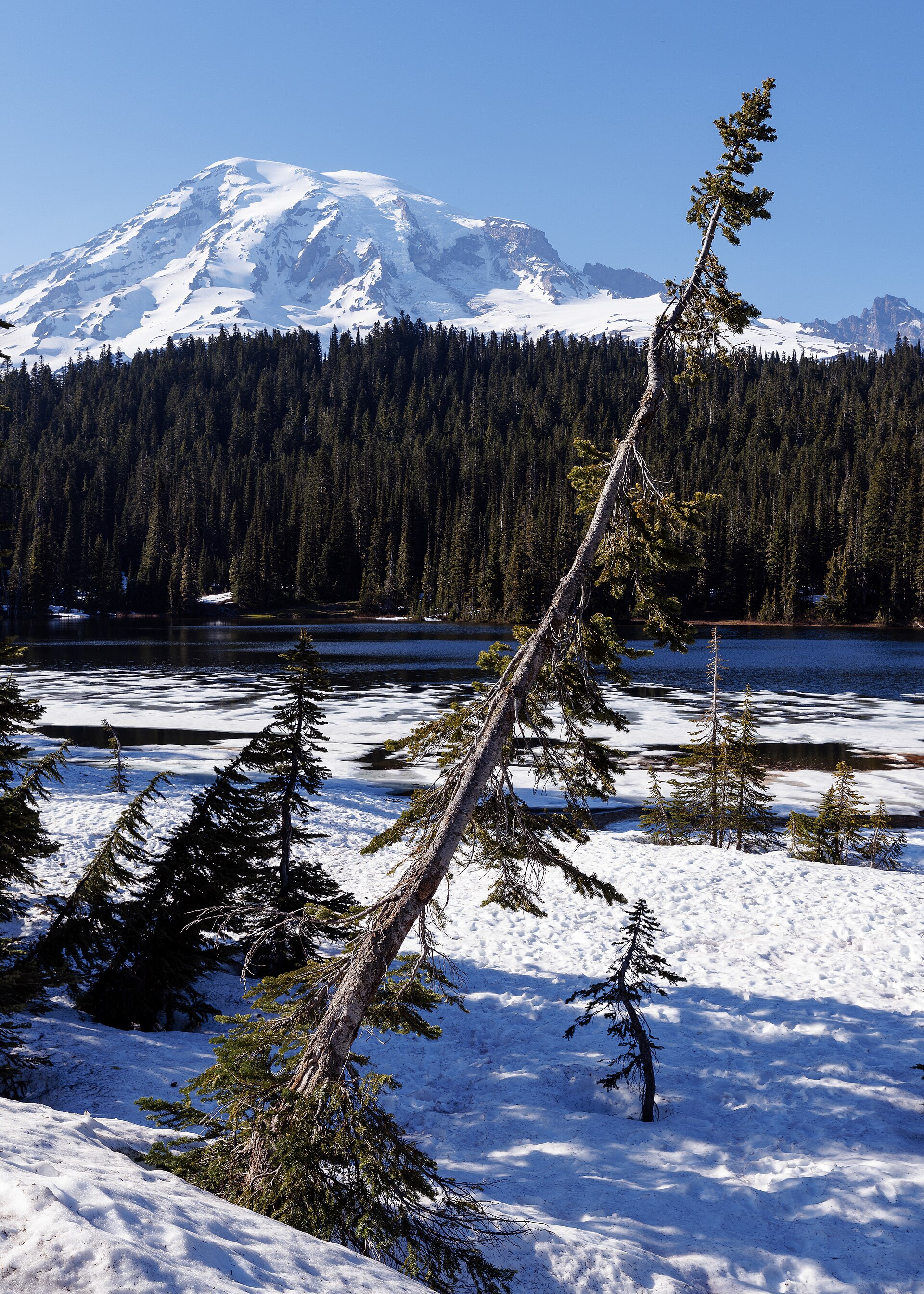
The big south-Cascades day loop: Paradise at Mount Rainier, the 5,430-foot Chinook Pass under its iconic arch, a Columbia-basin run through Ellensburg and home over White Pass — 413 km of everything Washington rides for.
Library of Congress Life / Wikimedia Commons / CC0
ABOUT THIS ROUTE
This is the full-day epic: four mountain gates in one loop. From Ashford the road climbs to Paradise, where the wildflower meadows sit directly under the 14,410-foot volcano, drops to the Nisqually and Packwood, then tops Chinook Pass — riding under the enormous timber arch that marks the boundary — before the long dry run to Ellensburg for fuel. The return crosses Yakima’s hop country and climbs White Pass, twisting through Gifford Pinchot forest back to Packwood. Long, demanding, unforgettable; Chinook and the Paradise road are both seasonal.
Out of Ashford the Longmire gate road follows the Nisqually to the park entrance, then the Paradise line climbs past the Narada falls to the 5,400-foot meadow heart of the park — arrive before ten or queue behind RVs. South through the Tatoosh shadows to Packwood, then SR-123 and SR-410 climb Chinook Pass through old burns to the famous arch at the top — one of the great motorcycle photos in the state. East of the pass the road falls to the pine flats and the dry heat of Ellensburg, the loop’s halfway fuel point. South on I-82 for ten miles (the only interstate stretch) to Yakima, then west on US-12: hop fields give way to the Rimrock lake climb and the twisting White Pass descent through fir forest to Packwood. Two national parks’ worth of scenery, one fuel loop.
PLAN RESPONSIBLY
Late May to October for the full loop — Chinook Pass closes with snow roughly November to May. Verified 2026-11-10 (route conditions).
WAYPOINTS
Paradise — the Rainier wildflower heart
waypoint
Chinook Pass (5,430 ft) — the equestrian arch
waypoint
Ellensburg — fuel and coffee stop
waypoint
White Pass (4,500 ft) — the Gifford Pinchot gate
waypoint
MAP & ROUTE
DESTINATIONS

The two great meadow capitals of Mount Rainier: flower fields to the glacier line at Paradise, the volcano’s grandest panorama at Sunrise — the park’s classic pair
Mount Rainier & the South Cascades

The park’s historic heart and its 150-kilometre crown: the hot-springs headquarters village of Longmire, the old-growth carbon-river rainforest, and the Wonderland Trail’s wilderness camps
Mount Rainier & the South Cascades

The South Cascades’ quiet giant: the White Pass Scenic Byway’s volcano views, the Gifford Pinchot’s high lakes and lava beds, and Mount Adams — Washington’s least-visited fourteen-thousander
Mount Rainier & the South Cascades
INTERESTS
WEATHER
Forecast data from Open-Meteo. Updated regularly.
REGIONS
KEEP EXPLORING
More routes, destinations and stories from every corner of the world — start where you like below.


