Seasonal conditions
June to October — Galena closes with snow roughly November to May; July for the longest days.
ROUTE
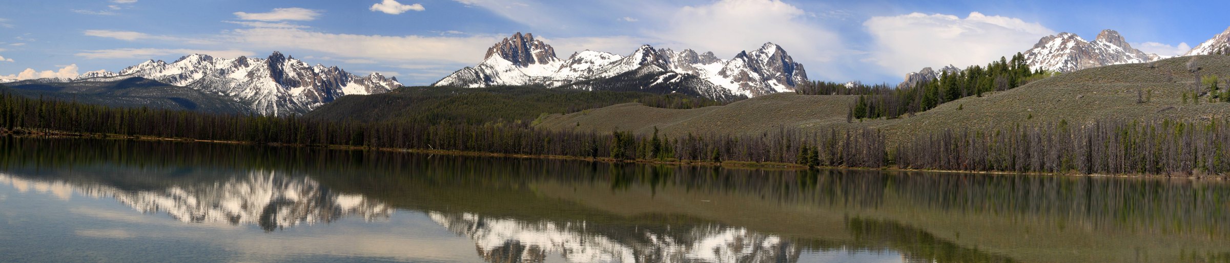
The postcard ride: 109 km from Stanley down the Sawtooth Valley past Redfish Lake, over 8,701-foot Galena Summit and down the Wood River to Ketchum — Idaho’s single greatest day ride.
<a rel="nofollow" class="external text" href="https://www.flickr.com/people/72213316@N00">Frank Kovalchek</a> from Ancho / Wikimedia Commons / CC BY 2.0
ABOUT THIS ROUTE
Highway 75 between Stanley and Ketchum is what Idaho rides look like in dreams. The road runs the glacial Sawtooth Valley beneath the 10,000-foot granite wall of the range, passes the teal water of Redfish Lake, then climbs the state’s highest paved summit at Galena — where the entire Sawtooth frontier spills below the overlook — before the long sweep down the Wood River to Ketchum. Ride it early: the traffic and the light both peak at ten.
Highway 75 between Stanley and Ketchum is what Idaho rides look like in dreams. The road runs the glacial Sawtooth Valley beneath the 10,000-foot granite wall of the range, passes the teal water of Redfish Lake, then climbs the state’s highest paved summit at Galena — where the entire Sawtooth frontier spills below the overlook — before the long sweep down the Wood River to Ketchum. Ride it early: the traffic and the light both peak at ten.
PLAN RESPONSIBLY
June to October — Galena closes with snow roughly November to May; July for the longest days.
WAYPOINTS
Redfish Lake — the Sawtooth signature view
waypoint
Galena Summit (8,701 ft) — the Sawtooths’ grand overlook
waypoint
MAP & ROUTE
DESTINATIONS

A rough-edged mountain town at the foot of the Sawtooths, ringed by alpine lakes, whitewater and the darkest night sky in America.
Central Idaho

America’s original ski resort town beneath Bald Mountain, where Hemingway’s ghost, groomed corduroy and a wild Sawtooth skyline share one valley.
Central Idaho
INTERESTS
WEATHER
Forecast data from Open-Meteo. Updated regularly.
REGIONS
KEEP EXPLORING
More routes, destinations and stories from every corner of the world — start where you like below.


