Seasonal conditions
All year — best May-October; the St. Joe road is plowed but gray and damp November-March.
ROUTE
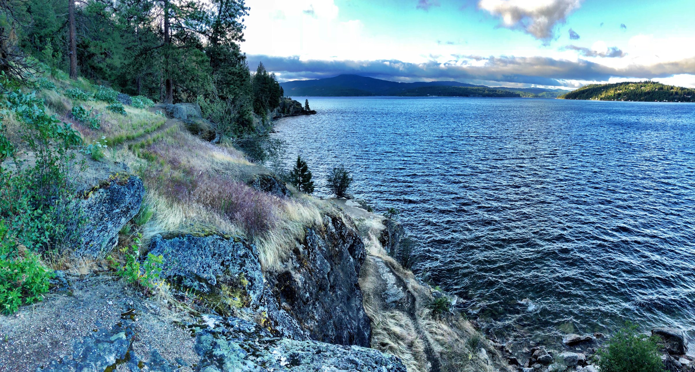
Mining history and cedar river country: 174 km from Coeur d’Alene up the Silver Valley through Wallace — the richest silver district on earth — then down the wild St. Joe River to Saint Maries.
<a rel="nofollow" class="external text" href="https://www.flickr.com/people/70271022@N00">David Taylor</a> from Coeur d / Wikimedia Commons / CC BY 2.0
ABOUT THIS ROUTE
This loop runs two of northern Idaho’s great rivers: I-90 east climbs the Silver Valley past Kellogg’s Bunker Hill gondola to Wallace — the whole downtown on the National Register, bordello museum and mining tours included — then the return drops south at Kingston to Highway 3 and the St. Joe River road, one of the quietest, greenest river rides in the Northwest, into Saint Maries. Add the Route of the Hiawatha or the Trail of the Coeur d’Alenes for a cycling doubleheader.
This loop runs two of northern Idaho’s great rivers: I-90 east climbs the Silver Valley past Kellogg’s Bunker Hill gondola to Wallace — the whole downtown on the National Register, bordello museum and mining tours included — then the return drops south at Kingston to Highway 3 and the St. Joe River road, one of the quietest, greenest river rides in the Northwest, into Saint Maries. Add the Route of the Hiawatha or the Trail of the Coeur d’Alenes for a cycling doubleheader.
PLAN RESPONSIBLY
All year — best May-October; the St. Joe road is plowed but gray and damp November-March.
WAYPOINTS
Kingston — the Silver Valley exit
waypoint
Wallace — the Silver Valley capital
waypoint
MAP & ROUTE
DESTINATIONS

A lakeside resort city on the Spokane River, where bald eagles winter over the water and the world’s longest floating boardwalk loops a five-star marina.
Northern Idaho

The richest silver mining district on earth — a preserved Victorian mining capital, a rail-trail through the trestles, and the deepest recreation of the 1910 fire story in the West.
Northern Idaho

A timber town on the “Shadowy St. Joe” — the highest navigable river in America — where steamboats once climbed into the Bitterroots and the Northwest’s oldest state park laps the lake next door.
Northern Idaho
INTERESTS
WEATHER
Forecast data from Open-Meteo. Updated regularly.
REGIONS
KEEP EXPLORING
More routes, destinations and stories from every corner of the world — start where you like below.


