Seasonal conditions
May to October — Teton Pass and the valley ride best in the long summer light; winter closes the high stretches.
ROUTE
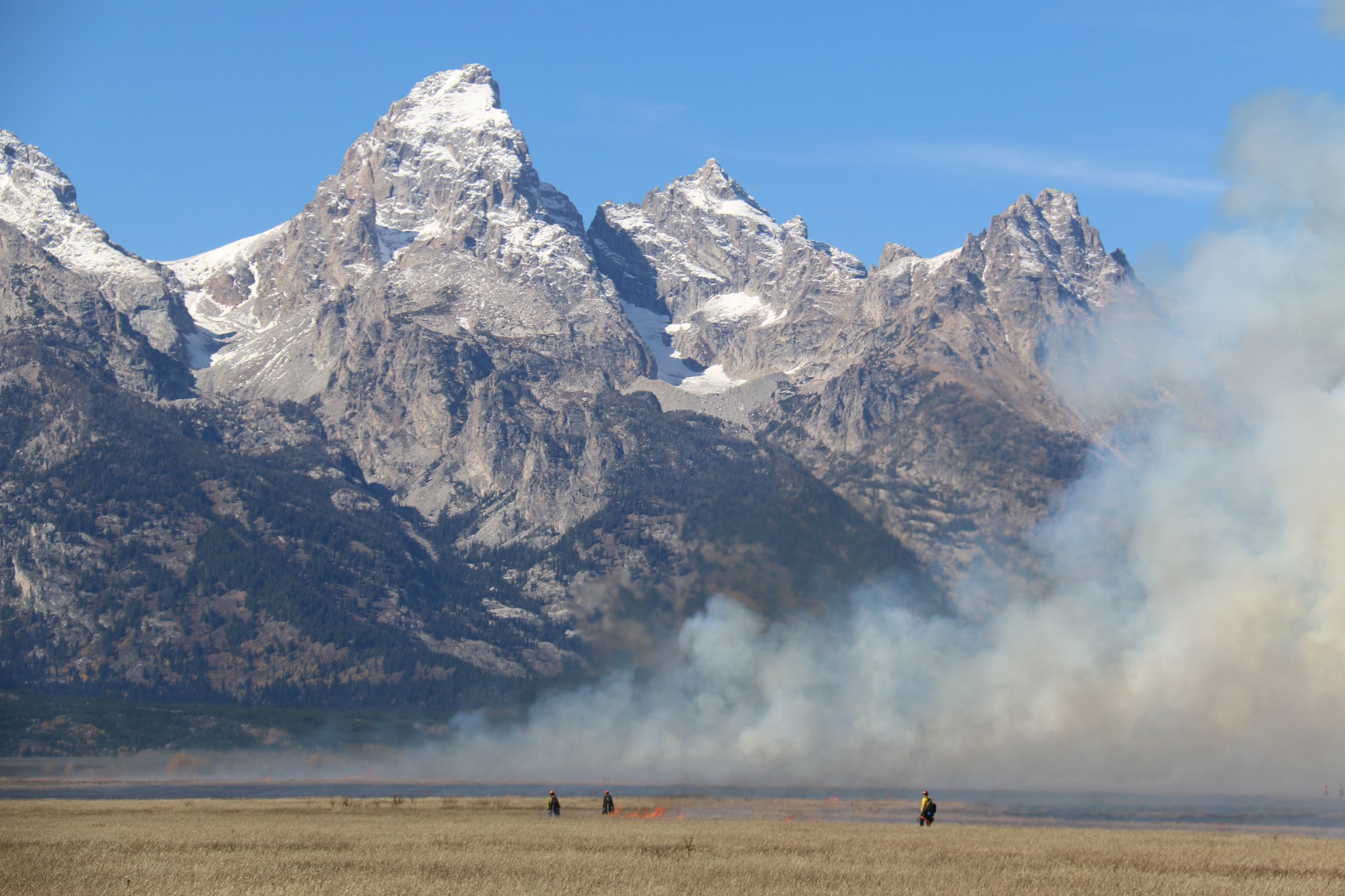
The hidden Tetons ride: 88 km from Victor through Driggs beneath the range’s wild west face, then the Snake River country through Swan Valley and Palisades Reservoir to Alpine, Wyoming.
<a rel="nofollow" class="external text" href="https://www.flickr.com/people/usfwsmtnprairie/">USFWS Mountain Prairie</a> / Wikimedia Commons / Public domain
ABOUT THIS ROUTE
The Tetons’ famous face looks east into Jackson — but from Idaho the range rises even more dramatically off the flat farm valley at Driggs and Victor. This loop crosses that valley beneath the peaks, drops to the Snake River at Swan Valley where the famous fly-fishing riffles run, then follows the reservoir canyon over the Wyoming line to Alpine. Short, sweet, and with the best Teton photography of any road in America.
The Tetons’ famous face looks east into Jackson — but from Idaho the range rises even more dramatically off the flat farm valley at Driggs and Victor. This loop crosses that valley beneath the peaks, drops to the Snake River at Swan Valley where the famous fly-fishing riffles run, then follows the reservoir canyon over the Wyoming line to Alpine. Short, sweet, and with the best Teton photography of any road in America.
PLAN RESPONSIBLY
May to October — Teton Pass and the valley ride best in the long summer light; winter closes the high stretches.
WAYPOINTS
Driggs — the valley’s Teton-view hub
waypoint
Swan Valley — the Palisades reservoir reach
waypoint
MAP & ROUTE
DESTINATIONS

The quiet side of the Tetons: a hay-meadow valley under the range’s wildest skyline — Driggs, Victor, Grand Targhee and the wild Teton River.
Eastern Idaho

A caldera of trout rivers, lodgepole forests and 10,000-foot views at Yellowstone’s back door — Henry’s Fork, Big Springs and the thundering Mesa Falls.
Eastern Idaho
INTERESTS
WEATHER
Forecast data from Open-Meteo. Updated regularly.
REGIONS
KEEP EXPLORING
More routes, destinations and stories from every corner of the world — start where you like below.


