Seasonal conditions
Open year-round; best May–September for dry riding and ferry queues shortest off-season. Fog possible on the Pass in early morning.
ROUTE
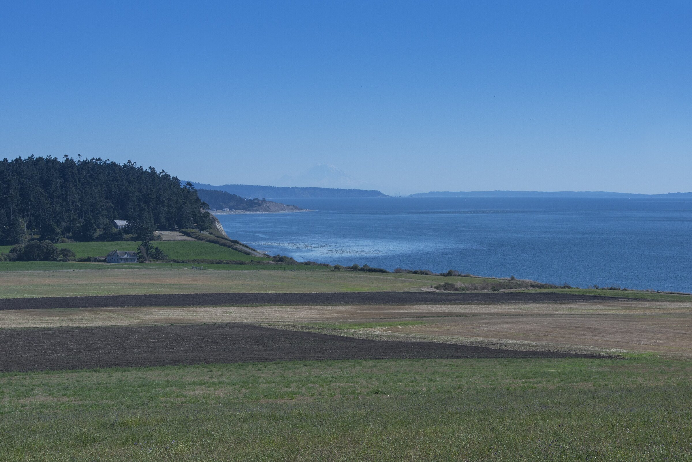
The island ride: 97 km down Whidbey from the Deception Pass bridge through Ebey’s Landing prairie, Coupeville’s waterfront and the ferry meadow at Clinton.
Kathleen Kitto / Wikimedia Commons / CC BY-SA 3.0
ABOUT THIS ROUTE
Whidbey Island makes a perfect riding loop the ferries gift-wrapped: cross the green spans of Deception Pass at the north end, then run the island’s length south — past Oak Harbor’s bay, the prairie-and-bluff landscape of Ebey’s Landing National Historical Reserve, Coupeville’s nineteenth-century waterfront and the mussel rafts of Penn Cove, the beach meadows below Useless Bay, and finally the Clinton dock where the Mukilteo ferry closes the circuit. Ninety-seven kilometres of sea-level curves, one iconic bridge, one famous prairie, and a ferry ride in the middle of it if you choose; the riding is gentle, the views are Salish Sea all day.
Whidbey Island makes a perfect riding loop the ferries gift-wrapped: cross the green spans of Deception Pass at the north end, then run the island’s length south — past Oak Harbor’s bay, the prairie-and-bluff landscape of Ebey’s Landing National Historical Reserve, Coupeville’s nineteenth-century waterfront and the mussel rafts of Penn Cove, the beach meadows below Useless Bay, and finally the Clinton dock where the Mukilteo ferry closes the circuit. Ninety-seven kilometres of sea-level curves, one iconic bridge, one famous prairie, and a ferry ride in the middle of it if you choose; the riding is gentle, the views are Salish Sea all day.
PLAN RESPONSIBLY
Open year-round; best May–September for dry riding and ferry queues shortest off-season. Fog possible on the Pass in early morning.
WAYPOINTS
Deception Pass Bridge
waypoint
Coupeville, Washington
waypoint
MAP & ROUTE
INTERESTS
WEATHER
Forecast data from Open-Meteo. Updated regularly.
REGIONS
KEEP EXPLORING
More routes, destinations and stories from every corner of the world — start where you like below.


