Seasonal conditions
Open year-round; best April–June for green canyon and September–October for warm light. Summer runs hot on the sage benches.
ROUTE
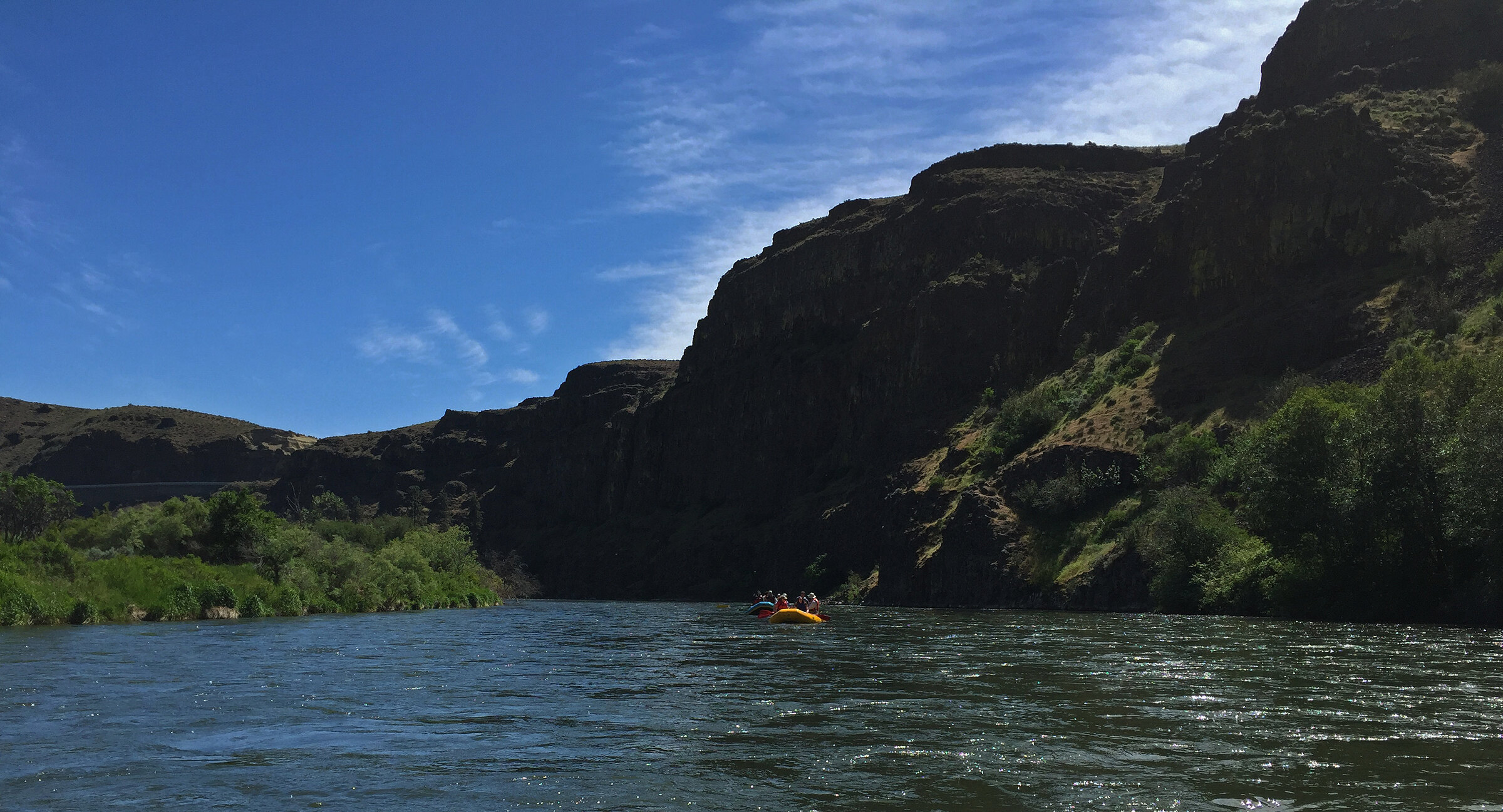
The quiet detour the interstate skips: 56 km of SR-821 following the Yakima River through basalt canyon walls, sage benches and the Roza reach — Washington’s first scenic byway.
BLM Oregon & Washington / Wikimedia Commons / Public domain
ABOUT THIS ROUTE
SR-821 does what I-82 cannot: it stays with the river. The Yakima River Canyon scenic byway threads 56 kilometres between Selah and Ellensburg along the river’s meanders, under basalt walls that rise 600 metres on both sides — sage country, bighorn slopes, hawks riding the thermals. The road crosses the river four times, passes the Roza Dam diversion and the canyon’s classic rafting reach, and carries almost no traffic: everyone else is on the interstate above. Campgrounds and fishing holes line the water; Umtanum Ridge’s trailhead sits mid-canyon. This is the state’s original scenic byway and still its most underrated ride.
SR-821 does what I-82 cannot: it stays with the river. The Yakima River Canyon scenic byway threads 56 kilometres between Selah and Ellensburg along the river’s meanders, under basalt walls that rise 600 metres on both sides — sage country, bighorn slopes, hawks riding the thermals. The road crosses the river four times, passes the Roza Dam diversion and the canyon’s classic rafting reach, and carries almost no traffic: everyone else is on the interstate above. Campgrounds and fishing holes line the water; Umtanum Ridge’s trailhead sits mid-canyon. This is the state’s original scenic byway and still its most underrated ride.
PLAN RESPONSIBLY
Open year-round; best April–June for green canyon and September–October for warm light. Summer runs hot on the sage benches.
WAYPOINTS
Roza Diversion Dam
waypoint
MAP & ROUTE
INTERESTS
WEATHER
Forecast data from Open-Meteo. Updated regularly.
NEARBY

Columbia River & Eastern Washington

Mount Rainier & the South Cascades

Columbia River & Eastern Washington

Columbia River & Eastern Washington

Columbia River & Eastern Washington
REGIONS
KEEP EXPLORING
More routes, destinations and stories from every corner of the world — start where you like below.
