Seasonal conditions
Dry, snow-free conditions; typically late spring to early autumn, with the forest trails slippery after rain.
ROUTE
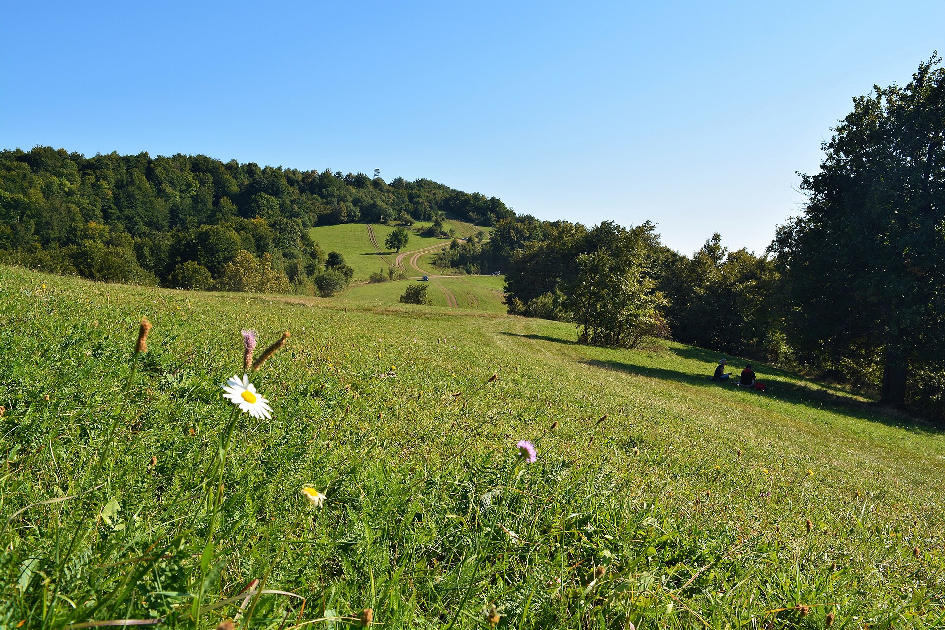
A challenging mountain-bike loop in Kozara National Park on the marked Yellow Trail, crossing the Gola Planina ridge and the Duge Njive ground above Mrakovica.
Ljubica KreškoRomanić / Wikimedia Commons / CC BY-SA 4.0
ABOUT THIS ROUTE
The Kozara Yellow MTB Loop is the marked Yellow Trail of Kozara National Park, a mountain-bike loop that crosses the forested ridge and high ground of the park above the Mrakovica memorial. It follows the waymarked cycling route of the park over the Gola Planina ground and the Duge Njive area, combining mixed forest riding with open ridge sections and the quiet of the protected park. The loop is short in distance but technically demanding, and it is a proper mountain-bike route rather than a paved or gravel recreational circuit.
The loop follows the marked Yellow Trail of the park from the Mrakovica area over the Gola Planina ridge and the Duge Njive ground, threading the mixed forest and open clearings of the national park before returning to the starting area. The riding is on trail rather than road: uneven, rocky and rooty ground in places, with surfaces that change sharply after rain. The distance of 19 kilometres is modest, but the technical rating is moderate and the overall difficulty is challenging because of the trail surface, the climbing on forest singletrack and the conditions-dependent ground. No duration or elevation figure is stated here; the time on the bike and the climbing depend on the exact trail line, surface conditions and current park access.
PLAN RESPONSIBLY
Dry, snow-free conditions; typically late spring to early autumn, with the forest trails slippery after rain.
Stay on the marked park trail, follow any park notices and give way to walkers and other visitors. The technical rating is moderate and the surface is conditions-dependent; riders unsure of the current ground should use current local guidance. The Atlas marker identifies the general Mrakovica access area and is not a surveyed trailhead.
MAP & ROUTE
INTERESTS
WEATHER
Forecast data from Open-Meteo. Updated regularly.
STORIES
NEARBY
REGIONS
KEEP EXPLORING
More routes, destinations and stories from every corner of the world — start where you like below.

