Seasonal conditions
Stable, dry, snow-free conditions with full daylight; typically late spring to early autumn.
ROUTE
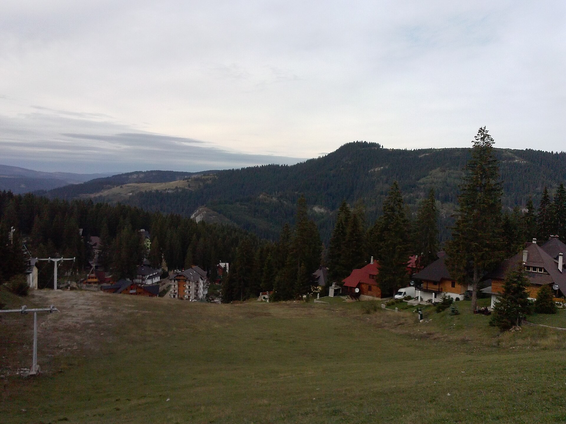
A challenging mountain-bike loop from Travnik up onto the Vlašić massif toward the Paljenik (Opaljenik) peak area, combining valley climbs, high pasture and long descents back to town.
BiH / Wikimedia Commons / CC BY-SA 3.0
ABOUT THIS ROUTE
The Travnik–Vlašić–Paljenik MTB Loop is a demanding full-day mountain-bike ride that links the Ottoman-era town of Travnik with the high ground of the Vlašić massif. It leaves the town and climbs through forest and pasture onto the broad highland above Travnik, works its way toward the Paljenik (Opaljenik) peak area — the higher summit ground of the massif near 1,900 metres — and then descends again to close the loop back at Travnik. The ride pairs the cultural anchor of the town with a serious highland mountain-bike day, and it is a route for experienced, fit riders rather than a casual recreational loop.
The loop sets out from the Travnik area and climbs out of the Lašva valley toward the Vlašić highland, mixing paved valley roads, gravel forest tracks and high-pasture ground. From the high ground the route works toward the Paljenik (Opaljenik) peak area, where the view opens across central Bosnia toward the mountains of the Lašva and Vrbas valleys, before the long descent returns to the Travnik starting area and closes the circuit. The day is a challenging undertaking: 50.2 kilometres with 1,520 metres of climbing on mixed surfaces, with exposed high ground, weather exposure and terrain that changes sharply with the conditions. No duration figure is stated here; the time on the bike depends on fitness, surface conditions and the exact highland line taken, and the high ground is not accessible or safe in all seasons.
PLAN RESPONSIBLY
Stable, dry, snow-free conditions with full daylight; typically late spring to early autumn.
This loop requires strong fitness and competent MTB handling on mixed surfaces. Inexperienced riders should use current local guidance or a qualified guide, and should not attempt the high ground in snow or ice without appropriate winter skills and equipment. Ride under control, give way to other trail users and follow normal traffic rules on road sections.
MAP & ROUTE
DESTINATIONS

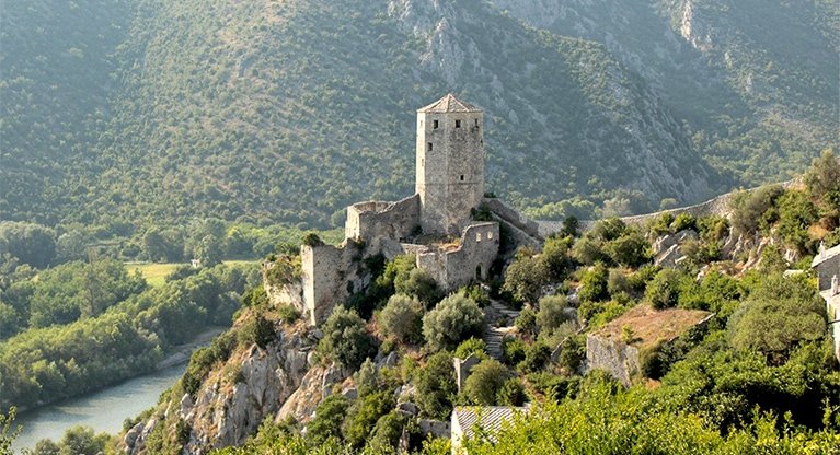
The former seat of the Ottoman viziers in Central Bosnia — a town of a fortress, a painted mosque, blue water and the birthplace of Ivo Andrić.
Central Bosnia

A broad central-Bosnian mountain of pastures and peaks — a family ski resort at Babanovac in winter and a green highland of katuns and Vlašić cheese in summer.
Central Bosnia
INTERESTS
WEATHER
Forecast data from Open-Meteo. Updated regularly.
REGIONS
KEEP EXPLORING
More routes, destinations and stories from every corner of the world — start where you like below.