Seasonal conditions
Open year-round (the Breuil–Zermatt road is summer-only). Best June–September; the Matterhorn view is most reliable in early autumn light. Verified 2026-11-08 (Regione Valle d'Aosta).
ROUTE
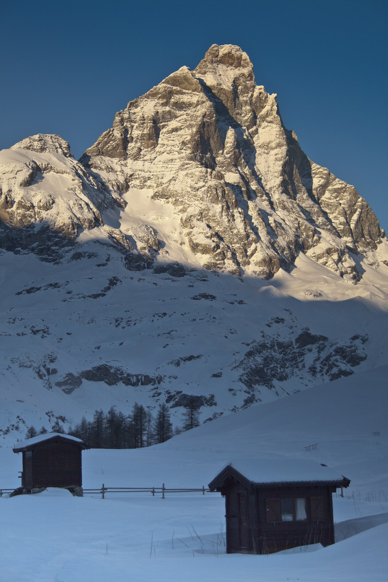
The Valtournenche climb from Aosta through Châtillon and Valtournenche to Breuil-Cervinia at 2,000 m — the Matterhorn's Italian face at the end of the valley road.
zeneize84 / Wikimedia Commons / CC BY 3.0
ABOUT THIS ROUTE
Regional Road 47 runs from Aosta up the Valtournenche valley to Breuil-Cervinia at 2,000 metres — the resort at the foot of the Matterhorn's Italian south face. The climb follows the Marmore river past castles at Châtillon and the mountain hamlets of Valtournenche, ending in the highest paved valley road in the Aosta region with the Matterhorn's four-sided pyramid closing the view at the valley head.
From Aosta the road follows the SS26 to Châtillon, where the SR47 turns south into the Valtournenche valley. The climb runs along the Marmore torrent through Maen and Antey-Saint-André — steady gradients past stone villages and hay meadows — to Valtournenche, and continues past the Cielo Alto plateau to Breuil-Cervinia. The resort's car-free centre and the Matterhorn view from the plateau make the natural stop; the road continues (seasonal pass, summer only) to Zermatt's Swiss side, closed outside the short summer window.
PLAN RESPONSIBLY
Open year-round (the Breuil–Zermatt road is summer-only). Best June–September; the Matterhorn view is most reliable in early autumn light. Verified 2026-11-08 (Regione Valle d'Aosta).
Treat the published duration as riding time only. Follow posted limits through the villages and watch pedestrians at the resort.
WAYPOINTS
Aosta
start
Châtillon
waypoint
Valtournenche
waypoint
Breuil-Cervinia
end
MAP & ROUTE
DESTINATIONS

The Rome of the Alps — a Roman-founded capital ringed by 4,000-metre peaks, where a ruined theatre and a triumphal arch sit at the crossroads of two great Alpine passes.
Aosta Valley

The pearl of the Alps — Italy’s oldest mountain resort under the south face of Mont Blanc, where a rotating cable car climbs to 3,466 m and two glacial valleys begin at the edge of town.
Aosta Valley

Italy under the Pyramid — Europe’s highest resort at the foot of the Matterhorn, where the lifts climb to 3,882 m, the glacier skis in July, and the mountain of mountains fills every window.
Aosta Valley
INTERESTS
WEATHER
Forecast data from Open-Meteo. Updated regularly.
NEARBY
REGIONS
KEEP EXPLORING
More routes, destinations and stories from every corner of the world — start where you like below.