Seasonal conditions
Open year-round to Courmayeur (A5 as fallback); Val Veny road open June–September. Best July–September. Verified 2026-11-08 (Regione Valle d'Aosta / Skyway Monte Bianco).
ROUTE
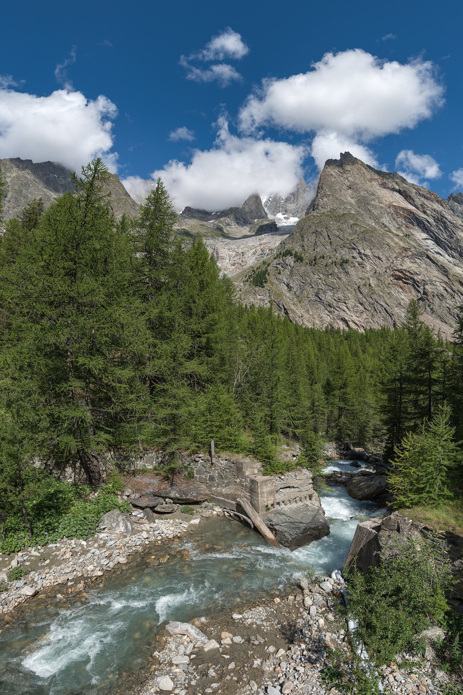
The RW5 motorway-free alternative to Courmayeur: the Val Veny road under Mont Blanc's south face, the Spa town of Pré-Saint-Didier and the Skyway cable car at Courmayeur.
Giorgio Galeotti / Wikimedia Commons / CC BY 4.0
ABOUT THIS ROUTE
The drive from Aosta to Courmayeur along the Dora Baltea valley is the classic Mont Blanc approach on the Italian side — the A5 motorway does it in 40 minutes, but the old road through La Salle and Pré-Saint-Didier keeps riders at valley level under the massif's southern wall. At Courmayeur the Skyway Monte Bianco cable car climbs to Punta Helbronner at 3,466 m, and the Val Veny road runs below the Brenva glacier face — the closest a motorcycle gets to Mont Blanc without climbing it.
Leaving Aosta the old SS26 road follows the Dora Baltea past vineyards and castles toward La Salle, where the massif's south face first fills the windscreen. Pré-Saint-Didier's thermal springs mark the valley head; beyond it Courmayeur sits on the fan at the foot of the peaks. The Val Veny side-road (pay in summer) runs from the town toward the Brenva glacier under the Brouillard pillars — the most spectacular dead-end in the Alps. Return via the Skyway parking for the cable-car viewpoint, or push on to La Thuile and the Little St Bernard pass for a loop.
PLAN RESPONSIBLY
Open year-round to Courmayeur (A5 as fallback); Val Veny road open June–September. Best July–September. Verified 2026-11-08 (Regione Valle d'Aosta / Skyway Monte Bianco).
Treat the published duration as riding time only. Obey posted limits and give the tunnel entrance queue room.
WAYPOINTS
Aosta
start
La Salle
waypoint
Pré-Saint-Didier
waypoint
Courmayeur
end
MAP & ROUTE
DESTINATIONS

The Rome of the Alps — a Roman-founded capital ringed by 4,000-metre peaks, where a ruined theatre and a triumphal arch sit at the crossroads of two great Alpine passes.
Aosta Valley

The pearl of the Alps — Italy’s oldest mountain resort under the south face of Mont Blanc, where a rotating cable car climbs to 3,466 m and two glacial valleys begin at the edge of town.
Aosta Valley

Italy under the Pyramid — Europe’s highest resort at the foot of the Matterhorn, where the lifts climb to 3,882 m, the glacier skis in July, and the mountain of mountains fills every window.
Aosta Valley
INTERESTS
WEATHER
Forecast data from Open-Meteo. Updated regularly.
NEARBY
REGIONS
KEEP EXPLORING
More routes, destinations and stories from every corner of the world — start where you like below.