Seasonal conditions
Open year-round (chains possible in winter). Best June–September for the park walks; autumn colours strong in October. Verified 2026-11-08 (Gran Paradiso National Park).
ROUTE
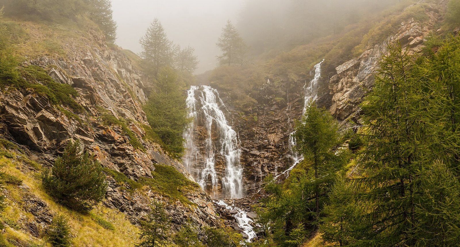
From the Dora valley at Pont-Saint-Martin up the narrow Cogne valley into Gran Paradiso national park — Italy's oldest national park, ibex country and the waterfall walk at the valley head.
Dominicus Johannes Bergsma / Wikimedia Commons / CC BY-SA 4.0
ABOUT THIS ROUTE
The road to Cogne is the Aosta valley's great dead-end ride: forty minutes of narrow gorge climbing from Pont-Saint-Martin at the valley floor to the national park village at 1,500 m, where the Gran Paradiso massif — Italy's oldest national park, created to save the ibex — fills the horizon. The village is the trailhead for the park's most accessible walks, including the waterfall gorge above Gimillan.
From Aosta the SS26 runs down the main valley to Pont-Saint-Martin, the Roman-arched gateway to the Cogne valley. The regional road turns south and climbs the gorge of the Grand Eyvia river — single-lane sections through the rock walls, tunnels and village hamlets — opening at Acceglio country and rising past Valnontey to Cogne. The village meadows end at the park trails: the Gimillan waterfall walk and the ibex-viewing slopes above the tree line. Return the same gorge road with the evening light on the valley walls.
PLAN RESPONSIBLY
Open year-round (chains possible in winter). Best June–September for the park walks; autumn colours strong in October. Verified 2026-11-08 (Gran Paradiso National Park).
Treat the published duration as riding time only. Follow posted limits through the gorge and yield at the single-lane widenings.
WAYPOINTS
Aosta
start
Issogne — valley narrows
waypoint
Pont-Saint-Martin
waypoint
Cogne
end
MAP & ROUTE
DESTINATIONS

The Rome of the Alps — a Roman-founded capital ringed by 4,000-metre peaks, where a ruined theatre and a triumphal arch sit at the crossroads of two great Alpine passes.
Aosta Valley

The pearl of the Alps — Italy’s oldest mountain resort under the south face of Mont Blanc, where a rotating cable car climbs to 3,466 m and two glacial valleys begin at the edge of town.
Aosta Valley

Italy under the Pyramid — Europe’s highest resort at the foot of the Matterhorn, where the lifts climb to 3,882 m, the glacier skis in July, and the mountain of mountains fills every window.
Aosta Valley
INTERESTS
WEATHER
Forecast data from Open-Meteo. Updated regularly.
NEARBY
REGIONS
KEEP EXPLORING
More routes, destinations and stories from every corner of the world — start where you like below.