Seasonal conditions
Road open roughly late May–October (snow closes the col in winter; check state road reports). Best July–September. Verified 2026-11-08 (ANAS / Regione Valle d'Aosta road conditions).
ROUTE
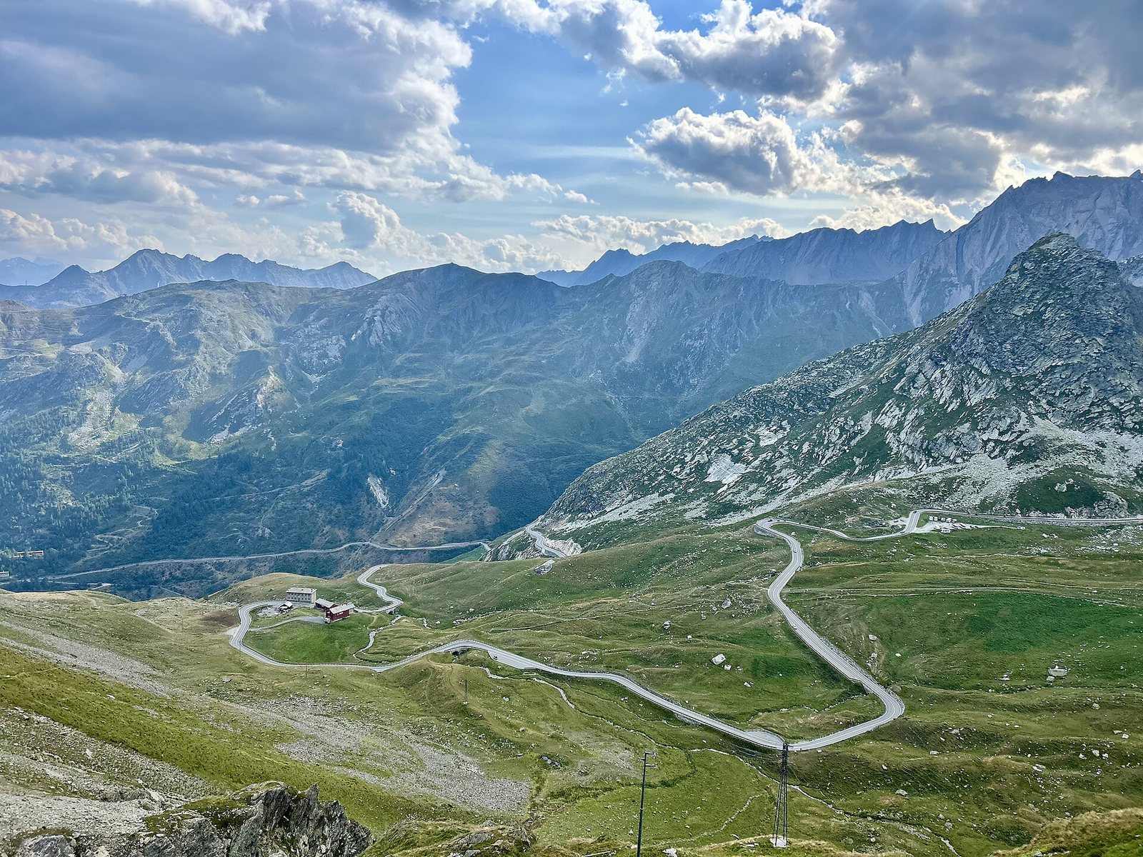
The ancient pass road from Aosta up the Great St Bernard valley to the 2,469 m col — Roman temple, hospice dogs and the border ridge above the Swiss valley.
Olgierd Rudak / Wikimedia Commons / CC BY-SA 4.0
ABOUT THIS ROUTE
Regional Road 27 climbs from Aosta through the Great St Bernard valley to the Col du Grand St-Bernard at 2,469 metres — the fourth-crossing alpine pass that carried Roman legions, medieval pilgrims and Napoleon's army. The road follows the Buthier river past Roman-era bridges and dam reservoirs, then switchbacks above the tree line to the pass, where the Augustan temple ruins, the hospice and its famous St Bernard dogs sit on the windswept ridge with the Swiss valley of Martigny falling away below.
From Aosta the road follows the SS27 up the Buthier valley past Gignod and the Roman bridge at Pont-Saint-Martin country — the dammed reservoirs at Place-Moulin signal the climb's real start. Above Saint-Rhémy-en-Bosses the valley narrows, the road steepens through forest switchbacks, and breaks above the tree line onto the high alpine meadows of the pass. At the col the Augustan temple of Jupiter, the medieval hospice (founded 1049, home of the St Bernard rescue dogs) and the Swiss border sit side by side. Cafés and the hospice museum make the pass a natural turning point — the road continues to Martigny in Switzerland, but the Italian side returns the same way, giving riders a second look at the valley's vertical walls in afternoon light.
PLAN RESPONSIBLY
Road open roughly late May–October (snow closes the col in winter; check state road reports). Best July–September. Verified 2026-11-08 (ANAS / Regione Valle d'Aosta road conditions).
Treat the published duration as riding time only. Follow posted limits and never stop on the pass switchback apexes.
WAYPOINTS
Aosta
start
Saint-Rhémy-en-Bosses
waypoint
Col du Grand St-Bernard
end
MAP & ROUTE
DESTINATIONS

The Rome of the Alps — a Roman-founded capital ringed by 4,000-metre peaks, where a ruined theatre and a triumphal arch sit at the crossroads of two great Alpine passes.
Aosta Valley

The pearl of the Alps — Italy’s oldest mountain resort under the south face of Mont Blanc, where a rotating cable car climbs to 3,466 m and two glacial valleys begin at the edge of town.
Aosta Valley

Italy under the Pyramid — Europe’s highest resort at the foot of the Matterhorn, where the lifts climb to 3,882 m, the glacier skis in July, and the mountain of mountains fills every window.
Aosta Valley
INTERESTS
WEATHER
Forecast data from Open-Meteo. Updated regularly.
NEARBY
REGIONS
KEEP EXPLORING
More routes, destinations and stories from every corner of the world — start where you like below.