Seasonal conditions
Open roughly June–October (snow closes the col in winter). Best July–September. Verified 2026-11-08 (Regione Valle d'Aosta / Savoie Mont Blanc).
ROUTE
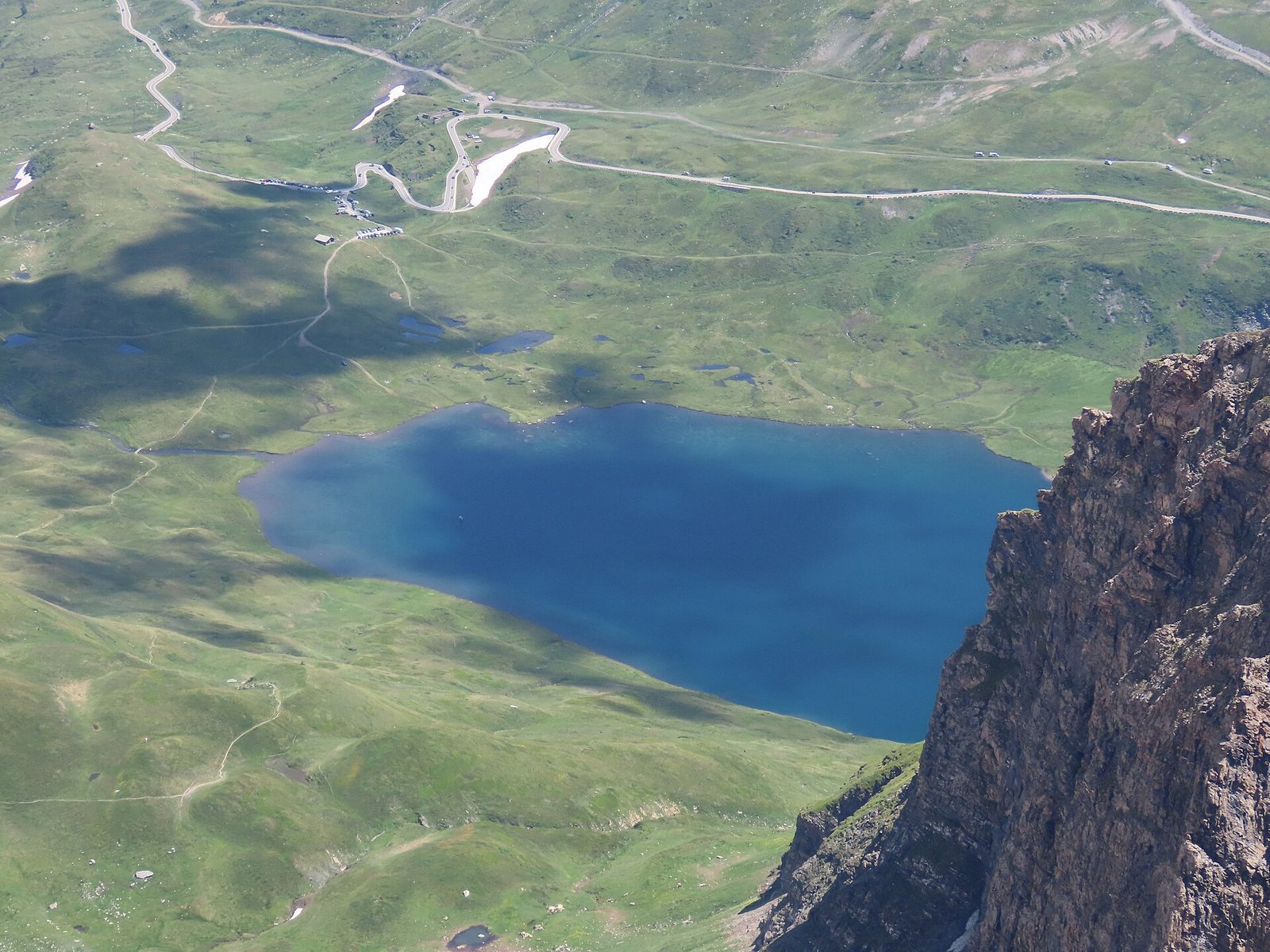
From Courmayeur up the La Thuile valley to the 2,188 m Little St Bernard col — the Roman road, the cycle-of-remembrance stone circle and the Lac de Verney on the French border ridge.
Rémih / Wikimedia Commons / CC BY-SA 4.0
ABOUT THIS ROUTE
The Little St Bernard pass (Col du Petit-Saint-Bernard, 2,188 m) is the gentler neighbour of its Great namesake: a long, steady climb from Courmayeur through La Thuile to a broad grassy col ringed by the Spectacles of Cicero's Roman road, a stone circle of modern commemorative sculptures and the small alpine lake of Verney straddling the French border. The road is a motorcycle classic for its even gradients and the treeless summit plateau.
From Courmayeur the SS26 climbs the La Thuile valley past the mineral springs and chairlift stations to La Thuile village, then switchbacks through forest to the tree line. The last section opens onto the plateau: the Roman mansio ruins, the Col du Petit-Saint-Bernard marker and the modern stone circle commemorating the 1944 fighting sit within walking distance, with the Lac de Verney just below on the French side. The pass road continues to Bourg-Saint-Maurice in France; riders turn back for the Courmayeur descent with the whole Mont Blanc range in afternoon view.
PLAN RESPONSIBLY
Open roughly June–October (snow closes the col in winter). Best July–September. Verified 2026-11-08 (Regione Valle d'Aosta / Savoie Mont Blanc).
Treat the published duration as riding time only. Follow posted limits and keep off the soft plateau verges.
WAYPOINTS
Courmayeur
start
La Thuile
waypoint
Col du Petit St-Bernard
end
MAP & ROUTE
DESTINATIONS

The Rome of the Alps — a Roman-founded capital ringed by 4,000-metre peaks, where a ruined theatre and a triumphal arch sit at the crossroads of two great Alpine passes.
Aosta Valley

The pearl of the Alps — Italy’s oldest mountain resort under the south face of Mont Blanc, where a rotating cable car climbs to 3,466 m and two glacial valleys begin at the edge of town.
Aosta Valley

Italy under the Pyramid — Europe’s highest resort at the foot of the Matterhorn, where the lifts climb to 3,882 m, the glacier skis in July, and the mountain of mountains fills every window.
Aosta Valley
INTERESTS
WEATHER
Forecast data from Open-Meteo. Updated regularly.
NEARBY
REGIONS
KEEP EXPLORING
More routes, destinations and stories from every corner of the world — start where you like below.