Seasonal conditions
April–November on the pass; the valley floor rides all year. Winter snow closes the Predil climb. Verified 2026-11-09.
ROUTE
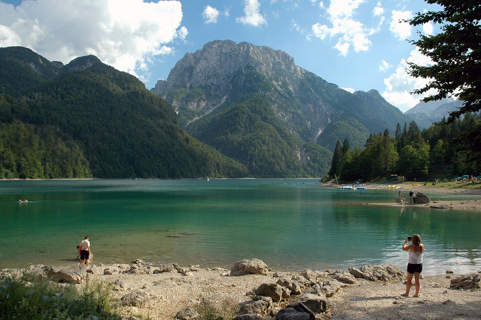
Alpine riding at its easiest: the Valcanale floor from Tarvisio past the Lussari gondola and the Fusine lakes turn-off, then the climb to the Predil pass and the border lake under Cucco.
DimiTalen / Wikimedia Commons / CC0
ABOUT THIS ROUTE
Twenty-nine kilometres that carry a whole alpine curriculum: the broad Valcanale with its bilingual villages, the sanctuary peak of Monte Lussari above the gondola station, the turquoise Fusine lakes under the Mangart wall, and finally the road up to Lago del Predil, the mine village and the pass toward Slovenia. The roads are wide, the surface is alpine-good, and every stop is short enough to walk — the family ride of the region that still fills a full day with castles, mines and lakes.
From Tarvisio the SS13 runs the valley west past Camporosso, where the Lussari gondola climbs to the sanctuary village; the cycle path alongside follows the old Pontebbana railway bed. At Coccaiu the road to Fusine drops two kilometres to the lakes circuit — worth the detour for the Mangart view. Back on the main road, the SP76 turns south at Cave del Predil for the lake: swim or pedal boats, then the mine museum underground. Beyond the village the pass road climbs in easy bends to Predil’s 1,156 m col and the Slovene border. Fuel in Tarvisio only; the valley villages have cafés but no pumps. Bora can blow cold down the Valcanale in winter — check before riding the high sections.
PLAN RESPONSIBLY
April–November on the pass; the valley floor rides all year. Winter snow closes the Predil climb. Verified 2026-11-09.
WAYPOINTS
Tarvisio
start
Camporosso (Lussari gondola)
waypoint
Valbruna / Val Saisera turn
waypoint
Passo del Predil
end
MAP & ROUTE
INTERESTS
WEATHER
Forecast data from Open-Meteo. Updated regularly.
NEARBY
REGIONS
KEEP EXPLORING
More routes, destinations and stories from every corner of the world — start where you like below.

