Seasonal conditions
Rideable April–November; the valley sits lower than Theth and thaws earlier. Best May–October. Verified 2026-11-07.
ROUTE
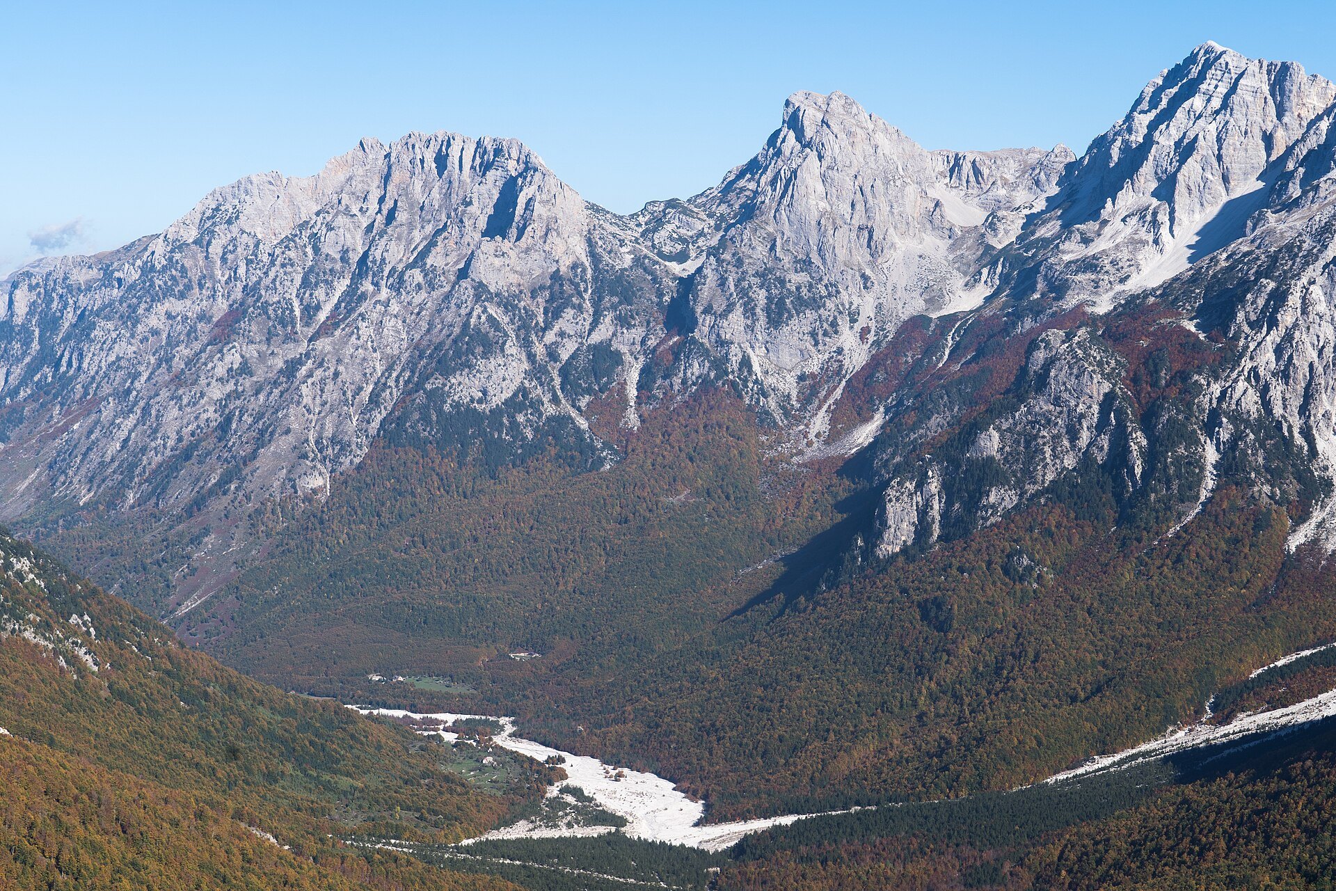
The road approach to the Valbona valley: across northern Albania via Kukës to Bajram Curri, then up the glacial valley under the Rojava peaks.
Alexkom000 / Wikimedia Commons / CC BY 4.0
ABOUT THIS ROUTE
Valbona is the sister valley of Theth — same limestone drama, a proper road instead of a pass. Most riders arrive via Kukës and Bajram Curri; the bravest hike over the Valbona pass from Theth and meet a support rider here.
From Kukës on the A1 (Rruga e Kombit) the road swings northwest along the Drini i Bardhë valley to Bajram Curri, the small border town at the mouth of the Valbona valley. From here a good asphalt road follows the turquoise Valbona river 22 km up the valley past Rragam, Dragobi and Çerem junction to the last houses at Valbona village, directly under the massive Rojava ridge. The road ends at the trailhead for the Valbona–Theth pass hike. The Koman ferry from Shkodra is the scenic alternative: two hours by boat through the fjord-like Drini canyon to Bajram Curri.
PLAN RESPONSIBLY
Rideable April–November; the valley sits lower than Theth and thaws earlier. Best May–October. Verified 2026-11-07.
Treat the published duration as riding time only. Follow posted limits, maintain space from larger vehicles, remove dark sunglasses before tunnels and never stop inside a tunnel or on an active traffic lane.
WAYPOINTS
Kukës
start
Bajram Curri
waypoint
Valbona
end
MAP & ROUTE
WEATHER
Forecast data from Open-Meteo. Updated regularly.
NEARBY
REGIONS
KEEP EXPLORING
More routes, destinations and stories from every corner of the world — start where you like below.


