Seasonal conditions
Closed or snowbound roughly November–April; check conditions in late October and May. Best June–September. Verified 2026-11-07.
ROUTE
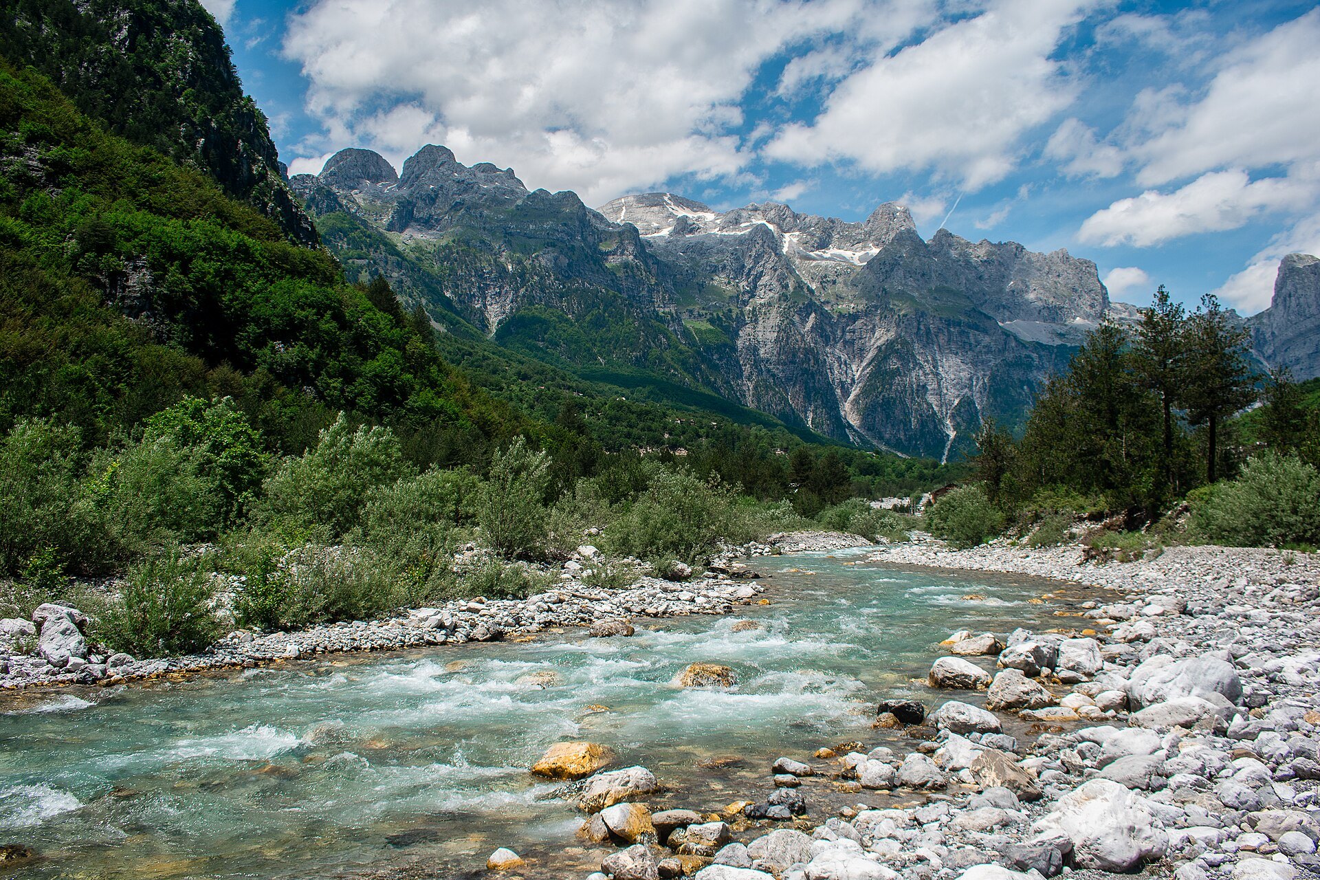
Climb from Lake Shkodra through the Boga valley and over the Thore Pass into the wildest alpine valley in the Balkans — now on new asphalt all the way.
Tom.whitehead337 / Wikimedia Commons / CC BY-SA 4.0
ABOUT THIS ROUTE
The road to Theth was for decades the Balkans\u2019 most notorious 4x4 track; since the 2023–24 paving programme it is a real motorcycle road, and the valley at the end is arguably the most spectacular dead end in Europe.
The route leaves the Shkodra lowlands at Koplik and follows the Shala river into the Boga valley, where the limestone walls of the Prokletije — the Accursed Mountains — close in. Over the Thore Pass (about 1,600 m) the road drops in a long series of switchbacks into the Theth valley at 750 m, under the 400-metre triangular wall of Harapi peak. The valley road ends a little beyond the village church; the famous Blue Eye spring and the Grunas waterfall are on foot. Return the way you came or continue over the pass on foot to Valbona — there is no road connection between the two valleys.
PLAN RESPONSIBLY
Closed or snowbound roughly November–April; check conditions in late October and May. Best June–September. Verified 2026-11-07.
Treat the published duration as riding time only. Follow posted limits, maintain space from larger vehicles, remove dark sunglasses before tunnels and never stop inside a tunnel or on an active traffic lane.
WAYPOINTS
Koplik
start
Bogë
waypoint
Theth
end
MAP & ROUTE
DESTINATIONS

Albania’s oldest city — Rozafa fortress above the lake plain, the Marubi photograph archive, the Ottoman Mesi Bridge, and the gateway to the Accursed Mountains.
Albanian Alps & North

The Albanian Alps’ postcard village — a locked stone church in a green bowl at 1,200 m, the Blue Eye spring, Grunas waterfall and the trailhead of the Valbona crossing.
Albanian Alps & North
WEATHER
Forecast data from Open-Meteo. Updated regularly.
NEARBY
REGIONS
KEEP EXPLORING
More routes, destinations and stories from every corner of the world — start where you like below.


