Seasonal conditions
Snow-free conditions with stable weather and sufficient daylight; typically late spring to autumn.
ROUTE
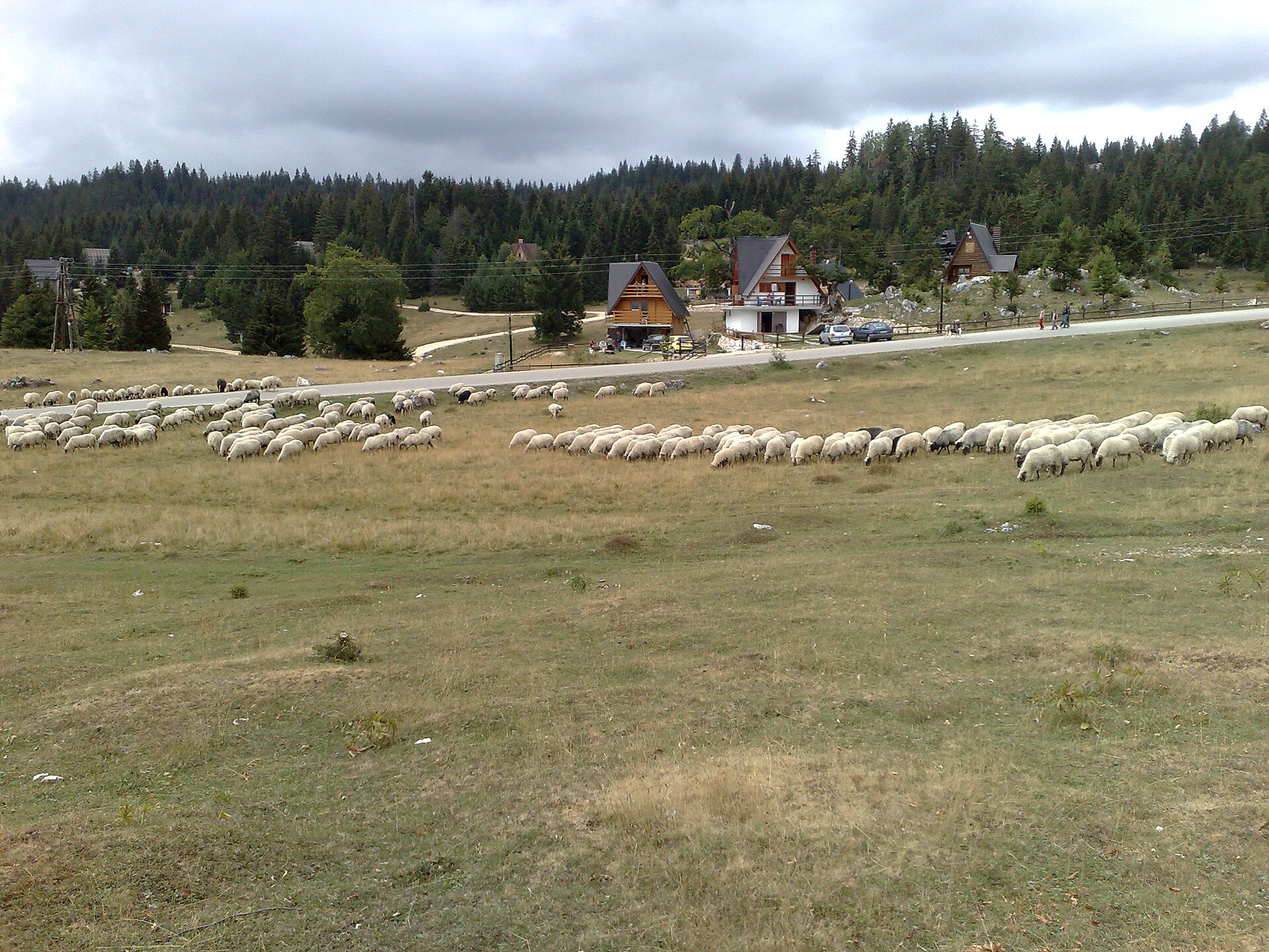
A compact forest hiking loop from the Hajdučke vode recreation area to Velika Runjavica, the highest summit of Borja mountain, and back.
Cro-Cop2 / Wikimedia Commons / Public domain
ABOUT THIS ROUTE
The Hajdučke vode–Velika Runjavica Loop is a short mountain walk on Borja above Teslić. It begins at the established Hajdučke vode recreation area, climbs through the mixed and pine forest toward Velika Runjavica and returns to the same base. The summit is the highest point of Borja at 1,078 metres and gives the route a clear objective without requiring a long-distance mountain day.
The community-recorded reference track measures approximately 5.7 kilometres with about 294 metres of ascent. The route starts and ends at the existing canonical Hajdučke vode access point and reaches the confirmed Velika Runjavica summit area. It is recorded as an easy loop, but the walking line is not reproduced as a Destination360 polyline and current markings, forestry activity, weather and surface conditions must be checked locally. The stored points provide orientation only; they are not a substitute for a current official trail map or competent navigation.
PLAN RESPONSIBLY
Snow-free conditions with stable weather and sufficient daylight; typically late spring to autumn.
The route is short and recorded as easy, but it remains a mountain walk. Stay on recognised marked paths, turn back if markings or visibility become uncertain, avoid active forestry areas and do not rely on the stored points as complete route geometry. Use current local guidance when conditions are unclear.
WAYPOINTS
Hajdučke vode
start
Velika Runjavica summit
waypoint
Hajdučke vode
end
MAP & ROUTE
ATTRACTIONS
Borja Mountain
The forested mountain between the Velika and Mala Usora, whose highest peak Runjavica reaches 1,077 metres — pine woods, springs, walking country and the Hajdučke vode recreation area on its slopes.
Teslić
Hajdučke vode
The named recreation area on the slopes of Borja, at about 810 metres, 23 km from Teslić — a mountain resort with a hotel, restaurant and wellness centre set among pine forest, and the outdoor walking and sports country around it.
Teslić
INTERESTS
WEATHER
Forecast data from Open-Meteo. Updated regularly.
STORIES
NEARBY
REGIONS
KEEP EXPLORING
More routes, destinations and stories from every corner of the world — start where you like below.