Seasonal conditions
Stable, snow-free conditions; typically late spring to early autumn.
ROUTE
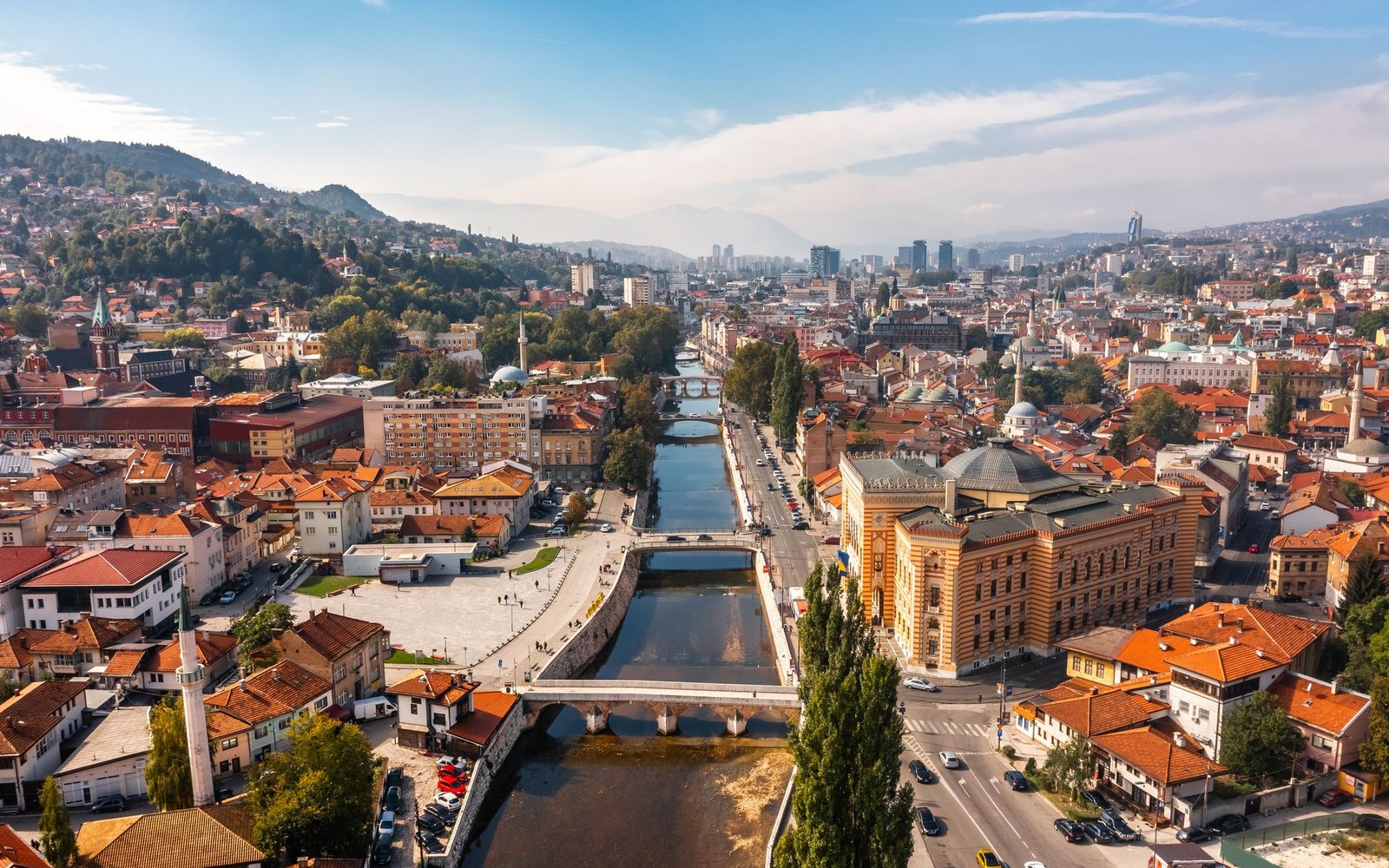
An out-and-back ascent from Pogledine past Trebević’s Olympic bobsleigh track and forest paths to the Sofe summit area above Sarajevo.
ABOUT THIS ROUTE
This out-and-back route climbs from Pogledine above Sarajevo toward the summit area of Trebević. It follows Apel’s road beside the Olympic bobsleigh track, passes the Pino area and continues through forest toward Dobre Vode before climbing to the high ground around Sofe. The route combines Sarajevo’s Olympic landscape with a substantial mountain walk and wide views over the surrounding ranges.
The published route begins at Pogledine and follows the mountain road beside the former Olympic bobsleigh track toward the Pino area. From there, the walk continues through forest toward the remains of the Dobre Vode lodge and climbs by marked mountain paths toward the summit area. The same route is used for the return. Although technically undemanding, the distance and approximately 811 metres of cumulative ascent make this a moderate full-day walk rather than a casual city excursion.
PLAN RESPONSIBLY
Stable, snow-free conditions; typically late spring to early autumn.
The route is technically straightforward but physically moderate. Visitors without mountain-navigation experience should use current local guidance or a qualified guide when conditions are uncertain.
MAP & ROUTE
DESTINATIONS
INTERESTS
WEATHER
Forecast data from Open-Meteo. Updated regularly.
STORIES
REGIONS
KEEP EXPLORING
More routes, destinations and stories from every corner of the world — start where you like below.