Seasonal conditions
Rideable year-round; exposed and windy on the plateau in winter storms. Best April–June and September–October. Verified 2026-11-07.
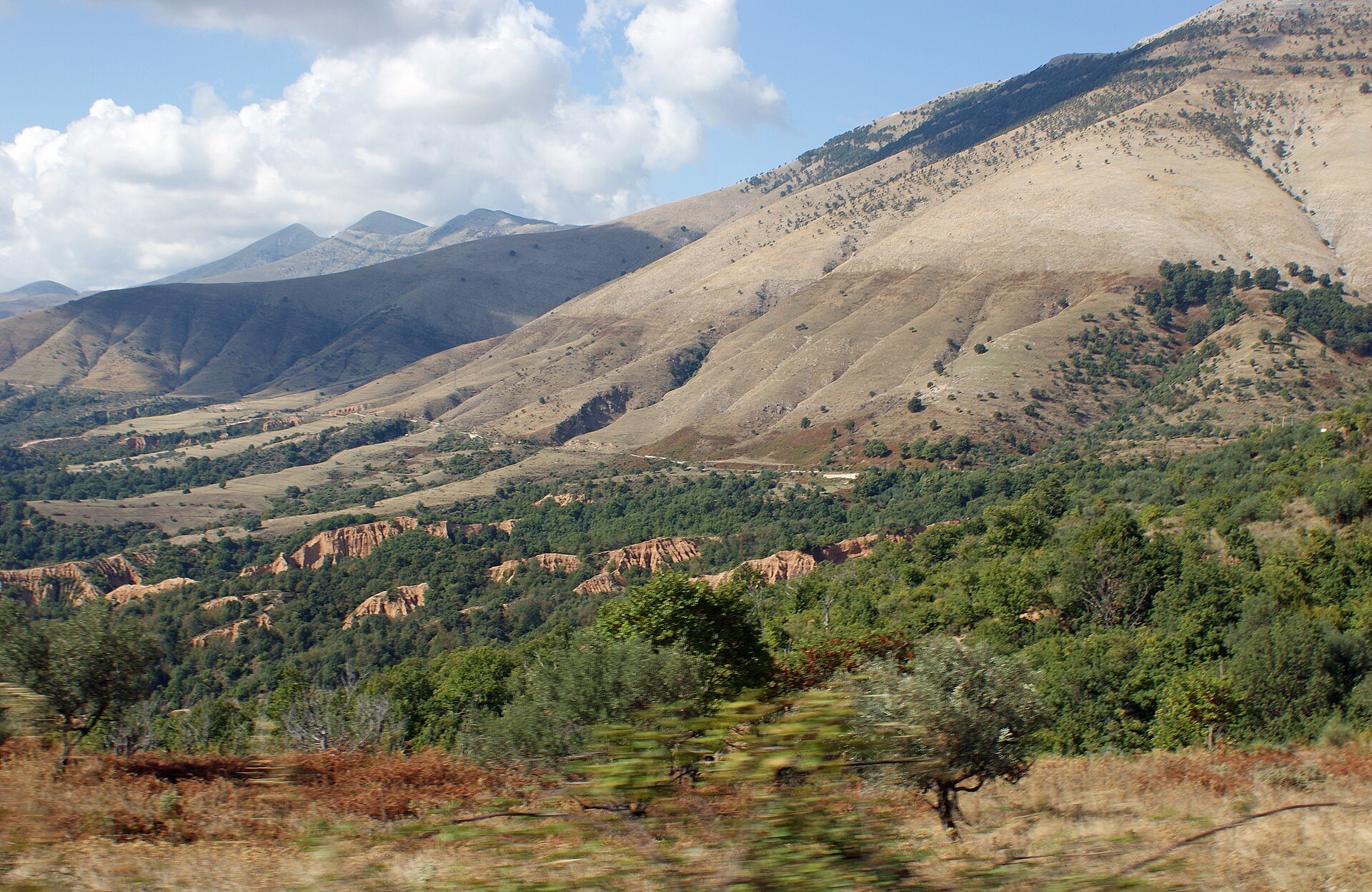
ROUTE
From Gjirokastër over the Muzina Pass and down through olive country to the Ionian at Sarandë — the scenic alternative to the coast road between the south\u2019s two bases.
Albinfo / Wikimedia Commons / CC0
ABOUT THIS ROUTE
Instead of running the busy SH4 down to the coast via Kakavija, take the SH77: a quiet high pass through the Muzina hills with open views over the Drinos valley, then a descent through ancient olive groves to the sea.
The road climbs from the Drinos plain into dry, sculpted hills above the tree line of the olive groves, crosses the open Muzina plateau with wide views both to the sea and back to the Dhembel mountains, and descends past Delvinë through olive and citrus country to Sarandë. Short detours reach the ruins of ancient Finiq on the hill above the lake and the Blue Eye spring inland. The ride pairs naturally with Butrint and Ksamil for a full southern-Albania day.
PLAN RESPONSIBLY
Rideable year-round; exposed and windy on the plateau in winter storms. Best April–June and September–October. Verified 2026-11-07.
Treat the published duration as riding time only. Follow posted limits, maintain space from larger vehicles, remove dark sunglasses before tunnels and never stop inside a tunnel or on an active traffic lane.
WAYPOINTS
Gjirokastër
start
Qafë e Muzinës
waypoint
Delvinë
waypoint
Sarandë
end
MAP & ROUTE
DESTINATIONS

The “city of stone” — a UNESCO-listed Ottoman town of slate-roofed tower houses below its castle, with the Drino valley and cold-water springs of Blue Eye country at the door.
South Inland

The Riviera’s southern capital — a horseshoe bay facing Corfu, tavernas on the promenade, Lëkurësi castle on the hill and Butrint’s ruins at the door.
Albanian Riviera
INTERESTS
WEATHER
Forecast data from Open-Meteo. Updated regularly.
REGIONS
KEEP EXPLORING
More routes, destinations and stories from every corner of the world — start where you like below.


