
EXPLORE BY INTEREST
Camping
Tents, campsites and nights under the stars — from riverside pitches to mountain bivouacs.
CAMPSITES ON THE MAP
View campsites on the map
See the campsites listed on Destination360 on the atlas map, with addresses, contact details and directions.
Explore by country
Where to do it
 24 destinations
United States
The West End: Hoh, Quinault & the Wilderness Coast · Neah Bay & the North Coast · Port Townsend, Sequim & the Dungeness +21 more
 4 destinations
Croatia
Dubrovnik · Korčula · Pelješac +1 more
 4 destinations
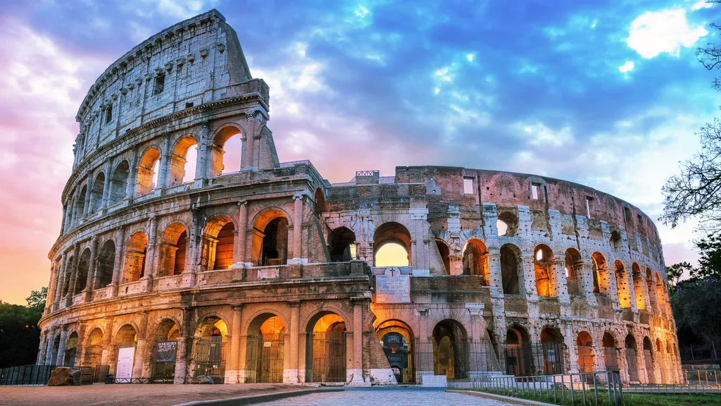
Italy
Trieste · Aquileia · Grado +1 more
 3 destinations
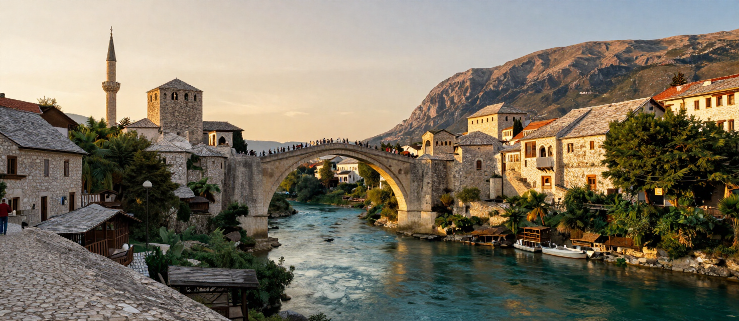
Bosnia & Herzegovina
Una National Park · Bihać · Livno
 1 destination
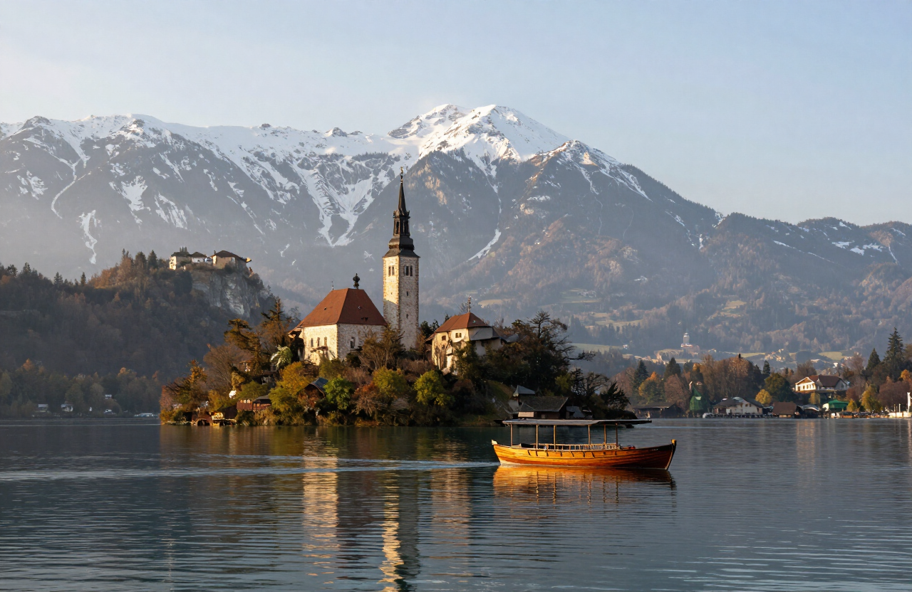
Slovenia
Bohinj
 1 destination
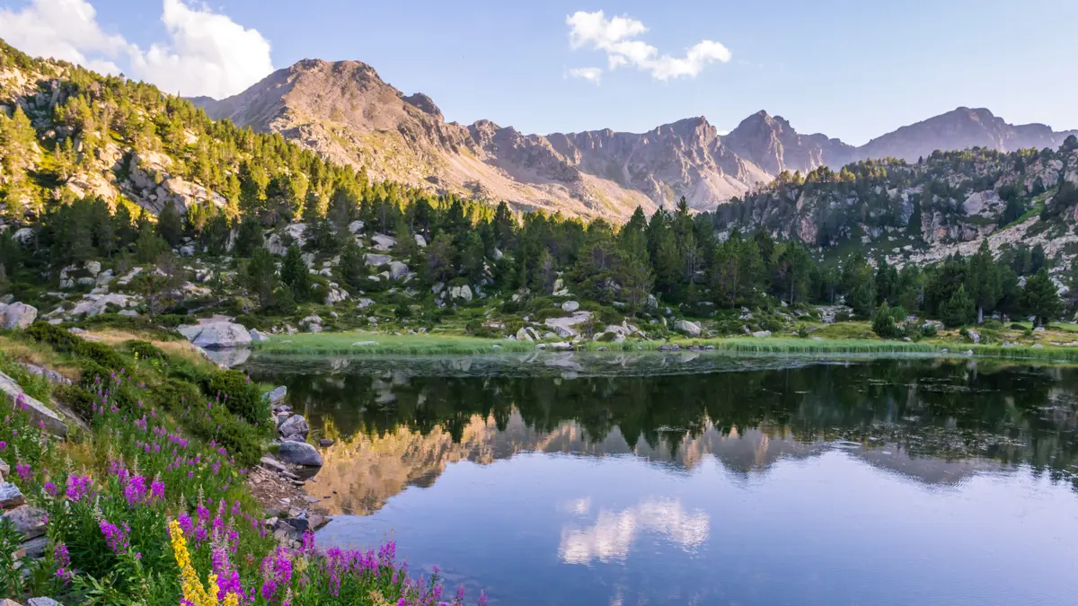
Andorra
Ordino & Sorteny
 1 destination
San Marino
Serravalle & Dogana
Bosnia & Herzegovina field guide
Find established campsites in Bosnia & Herzegovina
Bosnia & Herzegovina has a growing network of established campsites, from riverside pitches on the Una to meadow sites beneath the high mountains and small camps in the karst landscapes of Herzegovina. The inventory is not yet complete, and wild camping is restricted in the national parks and on uncleared ground, so an established campsite is the safe and responsible choice. Use the Atlas campsite layer to find the verified sites across the country and plan your stops.
FEATURED AREAS
Bihać & the Una
The northwest corner around Bihać and Una National Park — riverside camps on the emerald Una, close to the Štrbački Buk waterfall and the rafting put-ins.
Herzegovina
The karst south — small camps near Blagaj and Trebinje, beneath the Velež and the limestone crags, with the Buna spring and the Trebišnjica river close by.
Central Bosnia
The mountain middle of the country — camps near Travnik and the Vlašić plateau, a cool base for hiking and MTB above the valleys.
Sutjeska & eastern Bosnia
The wild east — camps at Tjentište in Sutjeska National Park, gateway to Maglić, the Perućica primeval forest and the Tara canyon.
WHEN TO GO
- May to October for most campsites; July and August are the peak season.
- Mountain camps above 1,000 m can be cold even in midsummer — bring a warm layer.
- Some riverside camps close in winter; check before you travel.
WHAT TO CARRY
- A tent with a waterproof fly and a sleeping bag rated for the altitude.
- A camping mat for insulation on cold ground.
- A headlamp and spare batteries — sites are dark at night.
- Insect repellent and a basic first-aid kit.
PLAN THE ROUTE
- Use the Atlas campsite layer to find established sites and book ahead in the peak season.
- Pitch only on the marked pitches — never on uncleared or unmarked ground.
- Carry enough water and food for mountain sites where there are no services.
- Combine a camp with a hiking or paddling day for a full outdoor trip.
SAFETY
- Follow Leave No Trace principles — pack out all waste, camp on durable surfaces, and leave the site as you found it.
- Never wild-camp in the national parks or on uncleared ground — some areas were mined during the 1990s war and not all ground has been cleared. Check BHMAC guidance and never enter uncleared or unmarked ground.
- Treat the Via Dinarica safety advice as required reading for any remote camping trip.
- Keep food stored and fires only in designated pits — respect fire bans in dry summer conditions.
SOURCESLeave No Trace principles · Via Dinarica safety guidance · BHMAC — Bosnia and Herzegovina Mine Action Centre (checked 2026-09-23)
Destinations
Places for this interest




Experiences
Things to do
Camp in the national park — Camp Buk and the riverside sites
Sleep inside the park: Camp Buk’s 10,000 m² of Una riverbank at Kulen Vakuf — room for 200 pitches, bungalows and a riverside restaurant — plus the quiet sites toward Martin Brod, with the waterfalls as your alarm clock.
Una National Park
Camping on Korčula: Port9 and the Island Camps
Korčula camps for every style — the resort-grade Port9 within walking distance of the old town, olive-grove hideaways at Vela Luka, and small family camps on the north shore.
Korčula
Camping on Pelješac
Camp by the wind at Viganj, by the walls at Ston or by the quiet north shore — the peninsula’s campsites put every Pelješac day within reach.
Pelješac
Camping the Konavle Coast: the Molunat Auto Camps
Cavtat itself has no campsite — the region’s camping lives 20 km south in Molunat, a small fishing village at the tip of the Konavle coast, where simple auto camps sit right on the shore.
Cavtat
Camp on the Una — the rafting camps and riverside sites
The Una valley is the camping heart of Bosnia — riverside rafting camps around Bihać, the big green fields of Camp Buk at Kulen Vakuf in the park, and UNA Kamp at Bosanska Krupa — all a tent’s throw from turquoise water.
Bihać
Walk the shores of Lake Bohinj
A flexible lakeshore walk on Slovenia’s largest natural permanent lake — a chosen section of the roughly eleven-kilometre shoreline rather than a guaranteed full circuit, shortened or extended with the weather, the trail conditions and the available transport.
Bohinj
Cross Lake Bohinj by panoramic boat
The seasonal electric boat connection across Slovenia’s largest natural permanent lake — the Zlatorog and the Triglavska roža running between Ribčev Laz and Ukanc, one-way or return, with departures that change with the season and the weather.
Bohinj
Camp above the Gulf: Sistiana and the karst campsites
Wake up over the Gulf of Trieste — the 4-star Mare Pineta campsite on the Baia di Sistiana with direct Rilke trail access, or the quiet Camping Obelisco on the karst plateau above the city.
Trieste
Camping and the slow bases of the plain
Aquileia’s central camper stop puts you beside the excavations for €10 a night — with the Grado lagoon campsites and the Alpe-Adria cycle path in easy reach.
Aquileia
Camp the lagoon coast
The densest quality camping coast in northern Italy — Tenuta Primero, Marina Julia and Belvedere Pineta — with direct beach access, pools, and cycle paths to Aquileia’s ruins.
Grado
Camp between the cliffs and the karst
Camping directly on the Rilke coast — the sites above the Sistiana bay put you on the trail, on the beach and on the bus into Trieste, all at once.
Duino & Sistiana
Matchday at the Stadio Olimpico: San Marino’s Home International
Be inside the Republic’s most concentrated expression of nationhood: a full international of the San Marino national football team at its small, loud Serravalle stadium — anthems, flags and world-class visitors in a ground where every seat hangs over the touchline.
Serravalle & Dogana
Fort Worden After Dark: Batteries, Stars and the Point Wilson Light
The fort’s second life: explore the batteries with a flashlight as the fog rolls in, watch the lighthouse’s beam sweep Admiralty Inlet, and camp or lodge inside the 19th-century garrison.
Port Townsend, Sequim & the Dungeness
Bike & Walk the Car-Free Carbon River Road
A national-park valley gone quiet: since the floods, the Carbon River road’s upper miles are closed to cars — walk or bike the moss-world avenue to Ipsut Falls and the rainforest campground.
Longmire & the Wonderland Trail
Climb Mount St. Helens via the Monitor Ridge Route
The volcano’s classic walk-up summit: 14 kilometres round trip from Climber’s Bivouac through forest, over the 1980 lava flow’s boulder fields, up the Monitor Ridge ash-chute to the crater’s rim — the most accessible active-volcano climb in America.
Mount St. Helens & the Blast Zone
Follow the Palouse River: from the Falls to the Snake
The river’s whole story in a day: the falls’ amphitheatre in the morning, the pothole canyon’s plunge pools, and the Lymans lakes where the river meets the Snake.
Palouse & Steptoe Butte
Routes
Routes & rides
The Complete Durmitor Ring — Žabljak, Sedlo, Piva Canyon and Šavnik
The full circular drive around the Durmitor massif — from Žabljak over the Jezerska plateau and the Sedlo pass to Trsa and Plužine, along the Piva lake shore, then back east through Šavnik to close the loop.
1 days · challenging
VIEW ROUTEDurmitor Ring by Campervan — RV Guide to the Full Circuit
The complete Durmitor Ring planned for campervans and RVs — the same Žabljak–Sedlo–Plužine–Piva–Šavnik circuit, read through a campervan lens: turnaround reality, fuel, overnights, season and narrow-section cautions.
2 days · challenging
VIEW ROUTETakhlakh Lake and the Midway High Lakes
From a mirror lake at the volcano’s foot to the high-country tarns of the Midway chain — the quietest great view of Mount Adams in Washington.
10 km · 3.5 h · moderate
VIEW ROUTEThe Thoroughfare Paddle: Priest Lake to Upper Priest
Three reedy miles of beaver channel into Idaho’s quietest wilderness lake — the signature paddle of the far north.
9.7 km · 4 h · easy
VIEW ROUTESalmon River: Riggins Town Run
Eleven miles of pool-and-drop class III through basalt canyon — the warm-summer classic run right from town.
17.7 km · 4 h · moderate
VIEW ROUTEDworshak Reservoir Paddle: Dent Acres to the North Fork Arms
Paddle Idaho’s deepest reservoir — forested canyon walls, warm coves and the quiet North Fork arms at dawn.
12 km · 4 h · easy
VIEW ROUTEAttractions
Sights worth the detour
Sorteny Valley Natural Park
Sorteny Valley Natural Park — a protected high-mountain valley of the Ordino parish, read through its river system, forests, meadows, marked trails and high-mountain hiking and refuge context.
Ordino & Sorteny
Stadio Olimpico — San Marino’s National Stadium
The Stadio Olimpico at Serravalle is the national stadium of San Marino — the ground where the Republic’s football team plays its home internationals and where the country’s clubs contest their cups. A small, steep-banked municipal stadium that has hosted the world’s national teams, it is the most unexpected sporting venue in the Republic and, on international nights, the loudest.
Serravalle & Dogana
Kalaloch & the Southern Bluffs
The coast’s family base: Kalaloch’s broad beaches and bluffs, the Tree of LifeRoot Cave, Beach 4’s tide pools, and the Destruction Island lighthouse on the horizon — all strung on US 101’s most scenic reach.
The West End: Hoh, Quinault & the Wilderness Coast
The Ozette Triangle
The classic wilderness loop: 9 miles of cedar boardwalk through forest, the wild sands of Cape Alava and Sand Point, and the petroglyphs at Wedding Rocks — the peninsula’s finest day hike.
Neah Bay & the North Coast
McGregor Mountain & Purple Point
The village’s great view walk: the 2,634-metre mountain rising straight above the landing, with the Purple Point campground’s lakeshore camps beneath it and the full-day climb to its summit lookout’s panorama.
Stehekin & Lake Chelan
The Carbon River Rainforest
An inland temperate rainforest: moss-draped old growth along the Carbon River at the park’s northwest corner — the wettest, greenest, quietest corner of Mount Rainier.
Longmire & the Wonderland Trail
Mowich Lake & Spray Park
The northwest corner’s crown: the deepest lake in the park beneath the mountain’s north face, and the Spray Park meadows’ waterfall gardens above it — August’s finest walk.
Longmire & the Wonderland Trail
Takhlakh Lake & the Midway High Lakes
The volcano’s mirror: Takhlakh Lake’s camping shore faces Mount Adams across still water — the finest volcano-reflection camp in Washington, ringed by the Midway High Lakes.
White Pass & Mount Adams
Lake Wenatchee
The valley’s blue head: a five-kilometre glacier-fed lake between forested shores, with the state park’s sandy beach at the outlet and White River’s turquoise inflow at the head.
Leavenworth & Stevens Pass
The Scablands Drive: Washtucna, Othello & the Potholes
The flood country’s empty quarter: SR-26 and the potholes country’s braided channels, Othello’s sand-hill cranes in March, and the Potholes Reservoir’s drowned-butte islands.
Grand Coulee & the Channeled Scablands
Pettit Lake & the Edith Lake Trail
The quieter side of the range: Pettit Lake sits below the White Cloud-facing ridge with a lakeside campground and the trail to twin alpine Edith Lake climbing gently through forest and meadow. Fewer people, same granite — the local favourite for a half-day swim-and-hike.
Stanley & the Sawtooths
On the atlas
Camping
STORIES
From the magazine


Explore by interest
Every place in the atlas is tagged by what you can do there. Pick an interest and the destinations, experiences, routes and sights connected to it come into view — one reusable view, no matter the interest.