destination360.orgPLACES / PEOPLE / STORIES
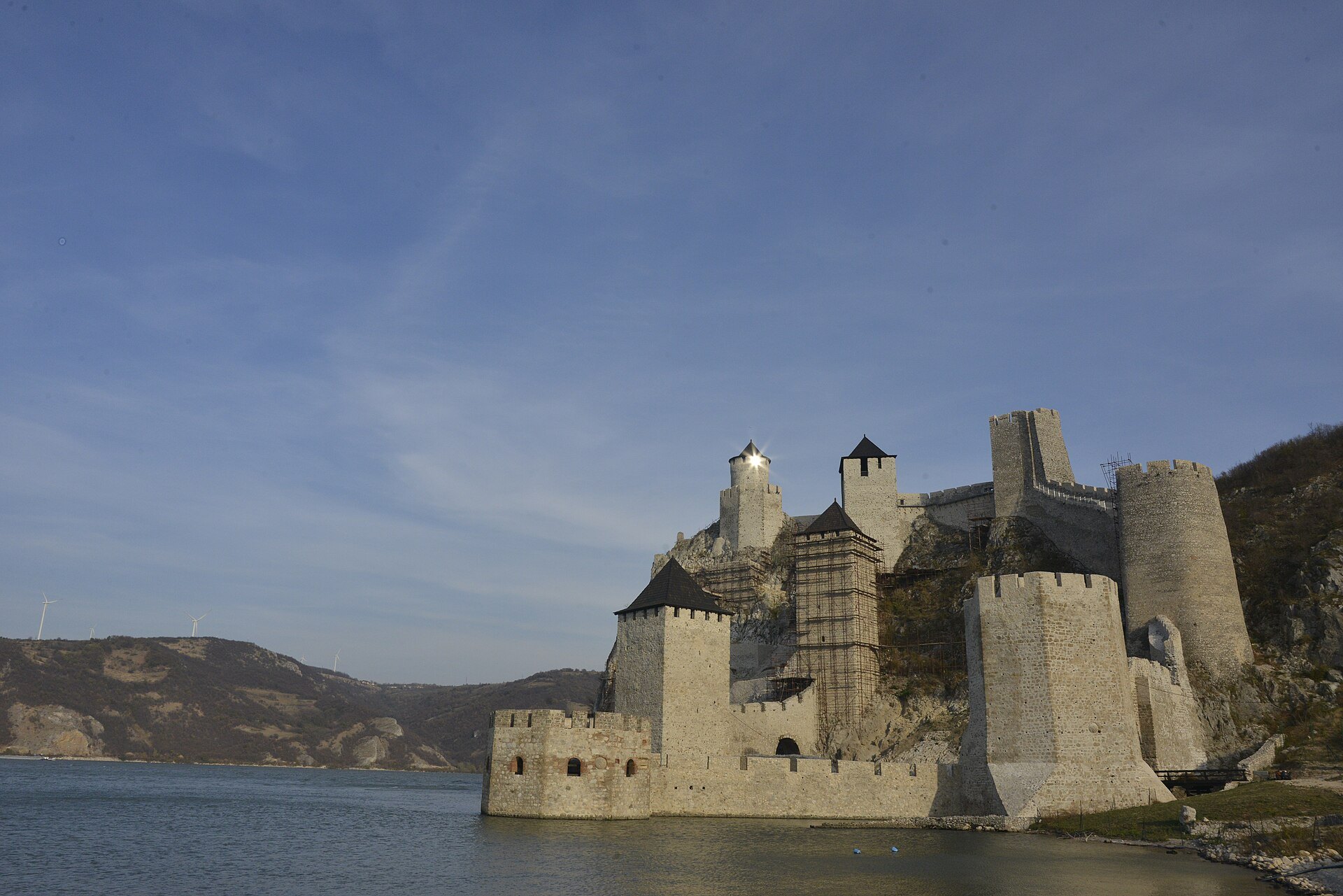
The Golubac fortress on the Danube at the entrance to the Đerdap gorge, Serbia

ROUTE

Đerdap Gorge Ride — Golubac to Kladovo on the Danube Highway

The Danube's great gorge ride — the Golubac fortress, the Kazan's vertical cliffs, the Miroč plateau and the Roman memory at Tekija, from Golubac to Kladovo on the river highway.

scenic-road126 km3 hmoderate
DOWNLOAD GPX

Miomir Magdevski / Wikimedia Commons / CC BY-SA 4.0

ABOUT THIS ROUTE

The route in detail

State Road 35 follows the Danube through Đerdap, Europe's longest gorge, from the nine towers of Golubac to the Roman bridgehead of Kladovo. The road threads the Kazan narrows under the vertical cliffs of the Miroč plateau — the river's narrowest and deepest point — past the Lepenski Vir archaeology site and the relocated Roman Tabula Traiana, then opens into the wide Silver Lake country before Tekija and Kladovo.

The ride starts under the walls of the Golubac fortress where the Danube enters the gorge. South of Dobra the road enters the Great Kazan — the gorge's narrowest section, where the river runs 90 metres deep between vertical limestone walls — with the viewpoints above the water and the memorial plaque of Emperor Traianus set into the rock across from the Romanian shore. Past Donji Milanovac the valley widens into the Miroč highlands country, the cliffs step back, and the last stretch runs through Tekija to Kladovo, where the Danube leaves Serbia. Watch the rockfall warning signs through the gorge — odrones close the road after heavy rain, and AMSS reports access conditions on this section through the year.
PLAN RESPONSIBLY

Season & safety

Seasonal conditions

Open year-round; best April–October. Winter brings fog banks in the gorge and rockfall risk after rain and freeze-thaw — check AMSS reports for section closures before riding. Verified 2026-11-07 (Auto-Moto Savez Srbije / AMSS road conditions; Politika reporting on Đerdap rockfall warnings).

Key hazards

  • Rockfall (odrone) sections through the gorge — obey closure signs after rain.
  • Tunnels and gallery sections with rapid light changes — clear visor, remove sunglasses.
  • Lorries share the river road through the gorge.
  • Fog banks form fast over the water in autumn and winter mornings.

Required gear

  • Certified motorcycle helmet and full protective riding gear.
  • Working lights and a clear visor suitable for tunnels and changing visibility.
  • Waterproof outer layer, an additional warm layer and charged phone.
  • Basic puncture and roadside emergency equipment appropriate for the motorcycle.

Check before you go

  • Check the current AMSS traffic report (amss.org.rs) for the route sections.
  • Check the forecast for wind, rain and fog along the route.
  • Confirm sufficient fuel range — services thin out on the more remote sections.
  • Plan the ride within daylight and identify safe rest stops before departure.

Local guidance

Treat the published duration as riding time only. Follow posted limits, maintain space from larger vehicles, remove dark sunglasses before tunnels and never stop inside a tunnel or on an active traffic lane.

WAYPOINTS

Route points

  1. 01

    Golubac fortress

    start

  2. 02

    Dobra — Lepenski Vir

    waypoint

  3. 03

    Boljetin — Kazan north entrance

    waypoint

  4. 04

    Donji Milanovac

    waypoint

  5. 05

    Tekija — Tabula Traiana

    waypoint

  6. 06

    Kladovo

    end

MAP & ROUTE

On the atlas

Elevation273 m high point42 m low point1,167 m total climbing17% steepest stretch (km 58.4)
273 m0 km120 km

INTERESTS

Why riders & travellers love it

WEATHER

Weather along the route

Forecast data from Open-Meteo. Updated regularly.

KEEP EXPLORING

The atlas continues

More routes, destinations and stories from every corner of the world — start where you like below.