Seasonal conditions
Best May–October; the plateau and canyon viewpoints fog heavily in autumn mornings, and winters bring snow at altitude — check AMSS reports. Verified 2026-11-07 (AMSS road conditions; NP Tara visitor information).
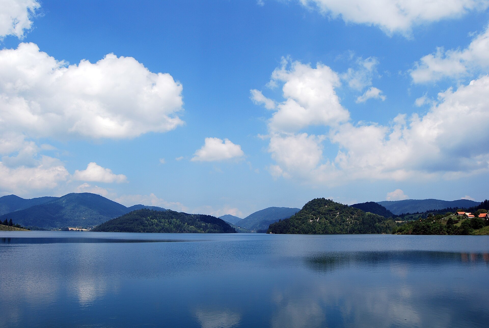
ROUTE
The Drina ride — Valjevo's river country, Banja Koviljača's spa boulevards, Bajina Bašta and the Tara national park viewpoints over the green canyon of the Drina.
tamburix / Wikimedia Commons / CC BY-SA 2.0
ABOUT THIS ROUTE
The Drina is the western border river, and the road to it is one of Serbia's classic runs: from Valjevo through the Podgorina orchards to Banja Koviljača's belle-époque spa, across to Bajina Bašta and up into the Tara national park — where the Zaovine lake cuts into the pine forests and the viewpoints hang over the deepest canyon in Serbia.
West from Valjevo the road runs the Podgorina — orchard and vine country with the Cer and Sokolske mountains as backdrop — down to Banja Koviljača, the spa whose 1930s villas still line the promenade under Perućac's approach. The climb to Bajina Bašta brings the Drina into view, and beyond it the road enters the Tara national park: the Zaovine lake — an engineered 1980s reservoir that has become the park's most photogenic water — and the viewpoints over the Drina canyon, up to 1,000 metres deep at its greatest. The return leg over the Tara plateau is forest and bend country at its best. Watch wildlife — the park's bears and chamois are real, and so is the morning fog off the canyon.
PLAN RESPONSIBLY
Best May–October; the plateau and canyon viewpoints fog heavily in autumn mornings, and winters bring snow at altitude — check AMSS reports. Verified 2026-11-07 (AMSS road conditions; NP Tara visitor information).
Treat the published duration as riding time only. Follow posted limits, maintain space from larger vehicles, remove dark sunglasses before tunnels and never stop inside a tunnel or on an active traffic lane.
WAYPOINTS
Valjevo
start
Banja Koviljača
waypoint
Bajina Bašta
waypoint
Tara NP — Zaovine viewpoints
end
MAP & ROUTE
DESTINATIONS
INTERESTS
WEATHER
Forecast data from Open-Meteo. Updated regularly.
NEARBY
REGIONS
KEEP EXPLORING
More routes, destinations and stories from every corner of the world — start where you like below.


