Seasonal conditions
Best June–September; the plateau sits over 1,500 m and carries snow late into spring — check AMSS reports before riding the upper sections. Verified 2026-11-07 (AMSS road conditions; Skijališta Srbije Stara Planina records).
ROUTE
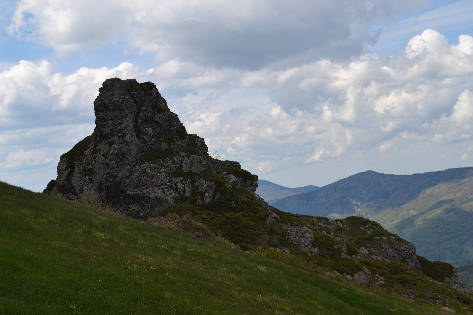
Eastern Serbia's frontier ride — Niš to Pirot, then the climb into Stara Planina, the Balkan range whose ridgelines watch Bulgaria, ending at Topli Do under the Midžor massif.
Aca94bg / Wikimedia Commons / CC BY-SA 4.0
ABOUT THIS ROUTE
Stara Planina — the Balkan range itself — is the mountain that named the Balkans. The ride runs from Niš through Pirot's craft and thermal country, then climbs the southern slopes into the high pastures of the national park: the Babin zub viewpoint ridge, the Barska and Zavojska lakes, and the village of Topli Do under Midžor, the range's highest summit.
Leave Niš east through the Nišava valley, the old Via Militaris corridor, to Pirot — the town of kilim weaving and the Pirot iron country. South of Pirot the road climbs the Zavojska gorge past the two engineered lakes of the range's southern flank, then winds up into the Stara Planina pastures towards Babin zub — the 'grandmother's tooth' crag and viewpoint that anchors the ski-centre plateau — and the remote village of Topli Do under the Midžor massif (2,169 m), the highest point of the range on Serbian territory. The pastures are wild-managed karst: sheep tracks, mountain springs and enormous skies. The climb is bend-heavy, and the higher sections carry real weather — this is the ride that most rewards an early start.
PLAN RESPONSIBLY
Best June–September; the plateau sits over 1,500 m and carries snow late into spring — check AMSS reports before riding the upper sections. Verified 2026-11-07 (AMSS road conditions; Skijališta Srbije Stara Planina records).
Treat the published duration as riding time only. Follow posted limits, maintain space from larger vehicles, remove dark sunglasses before tunnels and never stop inside a tunnel or on an active traffic lane.
WAYPOINTS
Niš
start
Pirot
waypoint
Vlasi — Zavojska lakes
waypoint
Babin zub — Topli Do
end
MAP & ROUTE
DESTINATIONS

The birthplace of Constantine the Great — an Ottoman fortress on the Nišava, the Skull Tower and the crossroads of the Balkans.
Southern & Eastern Serbia

The town of the kilim — the famous woven rugs, the fortress on the Nišava and the Jerma canyon’s monasteries.
Southern & Eastern Serbia

The Old Mountain — Midžor’s 2,169 m summit, the Babin zub ski slopes and the waterfall country of the border ridge.
Southern & Eastern Serbia
INTERESTS
WEATHER
Forecast data from Open-Meteo. Updated regularly.
NEARBY
REGIONS
KEEP EXPLORING
More routes, destinations and stories from every corner of the world — start where you like below.


